| NLAE Data Sources |

|
.jpg)
STEWARDS-Sustaining The Earth's Watersheds-Agricultural Research Database System (STEWARDS) is part of the ARS Conservation Effects Assessment Project (CEAP). STEWARDS is a database that stores watershed data across multiple locations. View more about CEAP here.
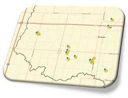
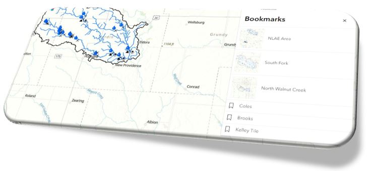
Research Site Map-Spatial map of NLAE research site locations. Use the Bookmarks tab for a quick zoom to each site.
LTAR-UMRB Site- The Long-Term Agroecosystem Research (LTAR) network is composed of long-term research sites with a focus on sustainable agriculture. NLAE is the main site for the Upper Mississippi River Basin (UMRB) site.
AmeriFlux Sites- NLAE has 3 sites that are part of the AmeriFlux network
PhenoCam Sites- NLAE has 2 sites with the PhenoCam Network, which captures digital imagery.