
| Photos of the Llano Estacado |

|
Photos of the Llano Estacado
John E. Stout, USDA-ARS, Lubbock, Texas
The Llano Estacado, also known as the Staked Plains or Southern High Plains, is a region located at the southern end of the Great Plains of North America. This vast elevated plain has long been recognized as a distinct physiographic region. The key feature that sets this region apart from its surroundings is its exceptionally flat and featureless surface bounded on three sides by "Caprock" escarpments. The western and northern escarpments separate the plateau from the Pecos and Canadian river valleys. Tributaries of the Red, Brazos and Colorado rivers carve away at the eastern escarpment, which separates the Llano Estacado from the Rolling Plains of Texas and Oklahoma.
Click on a photo to see a high-resolution image.
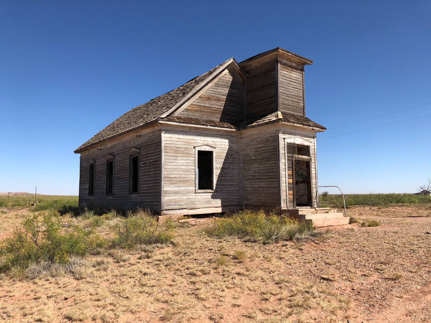 |
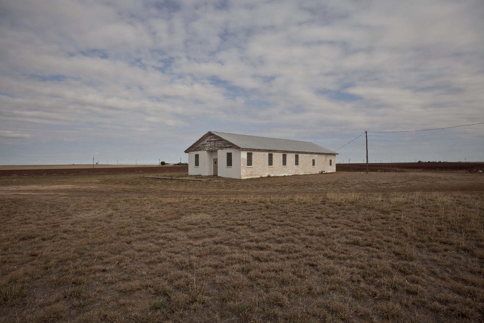
Abandoned church in Taiban, New Mexico (October 11, 2020) |
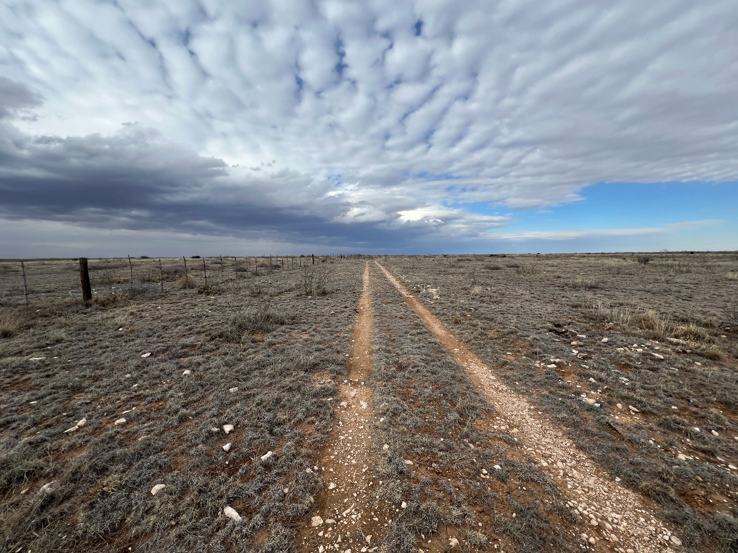 |
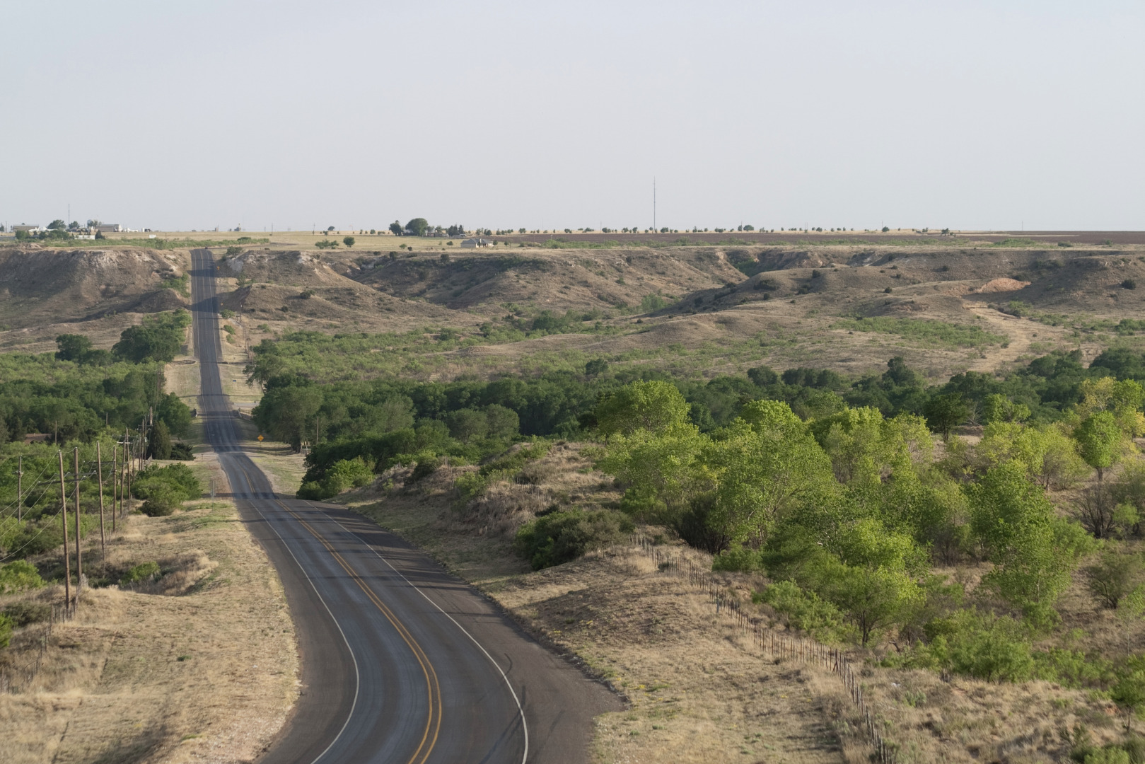
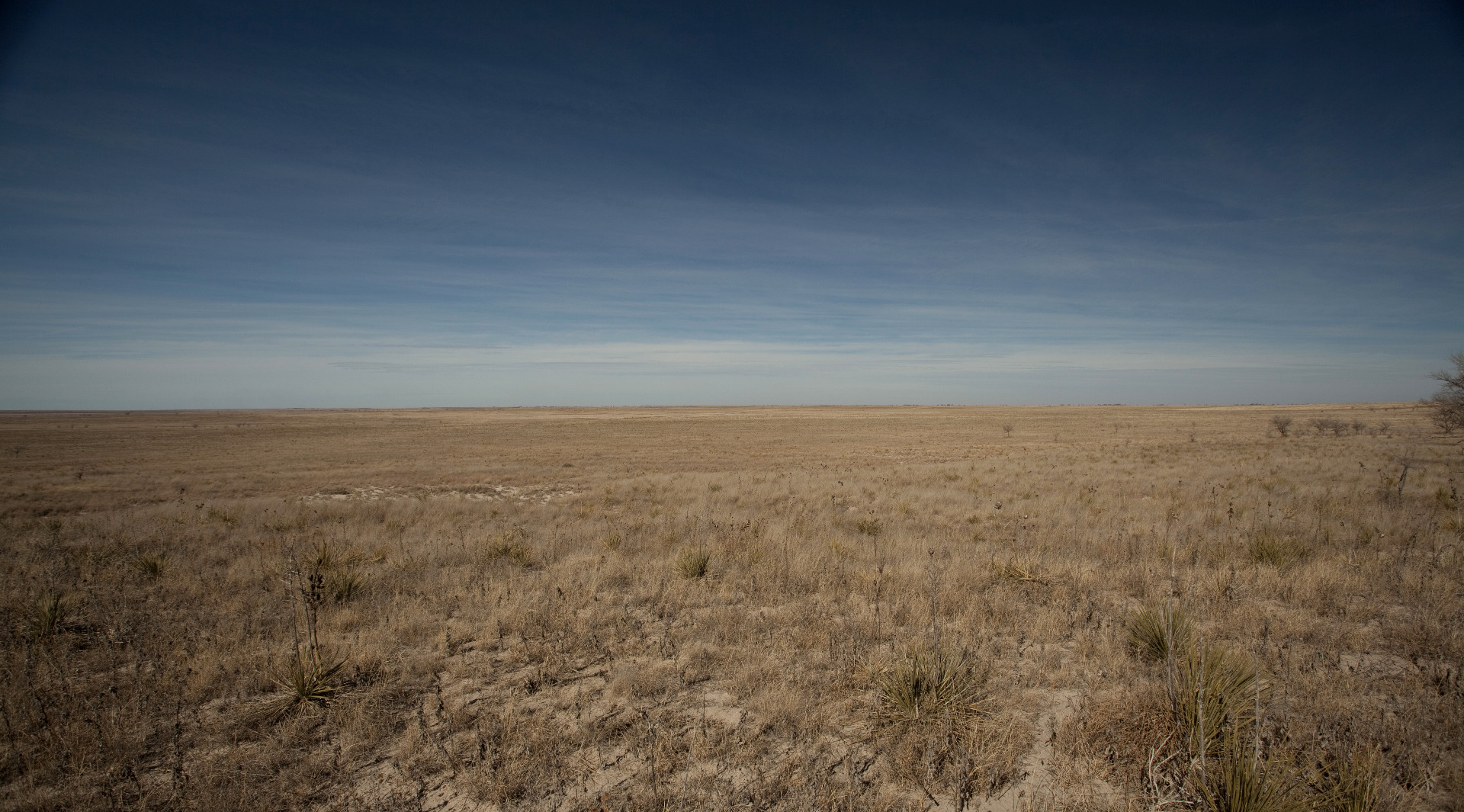
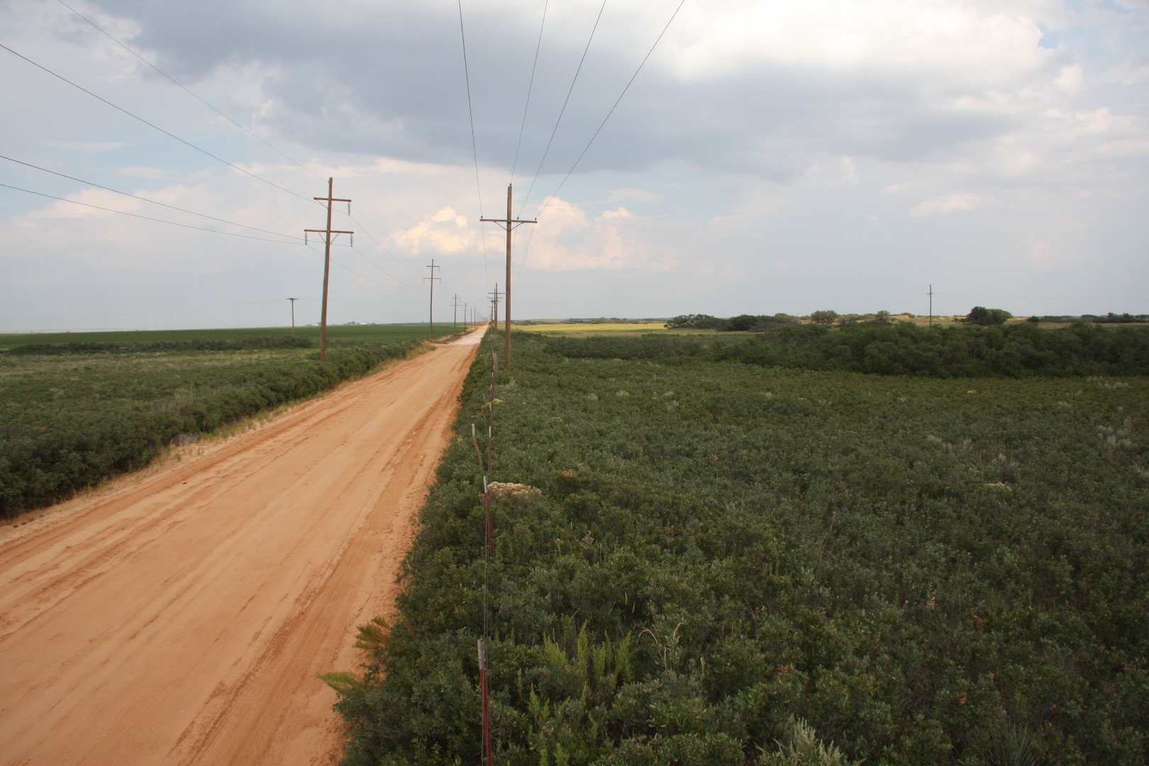
Lonely ranch road near Pep, Texas (February 7, 2024) |
 |
South Plains, Texas (December 28, 2016) |
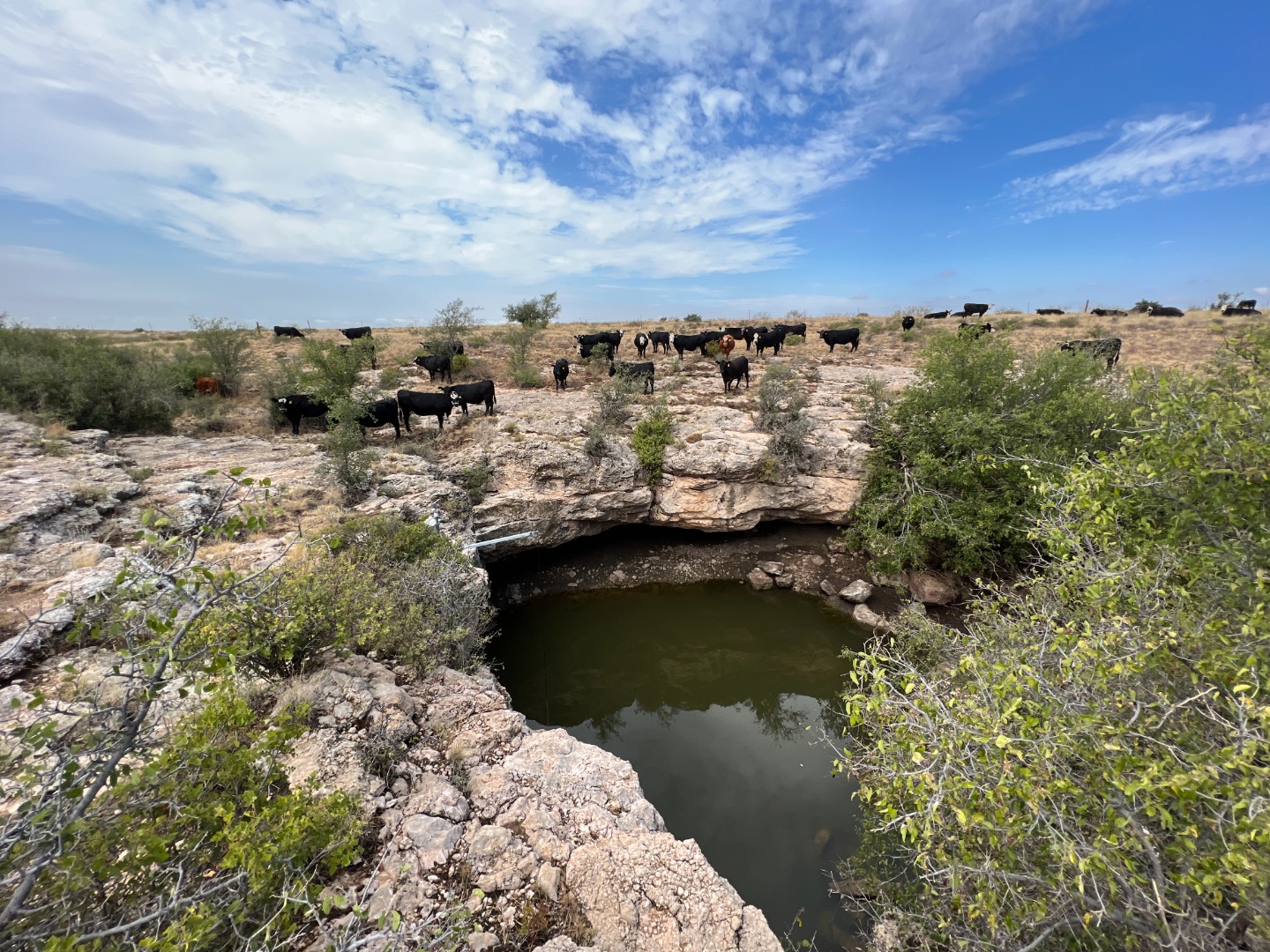 |
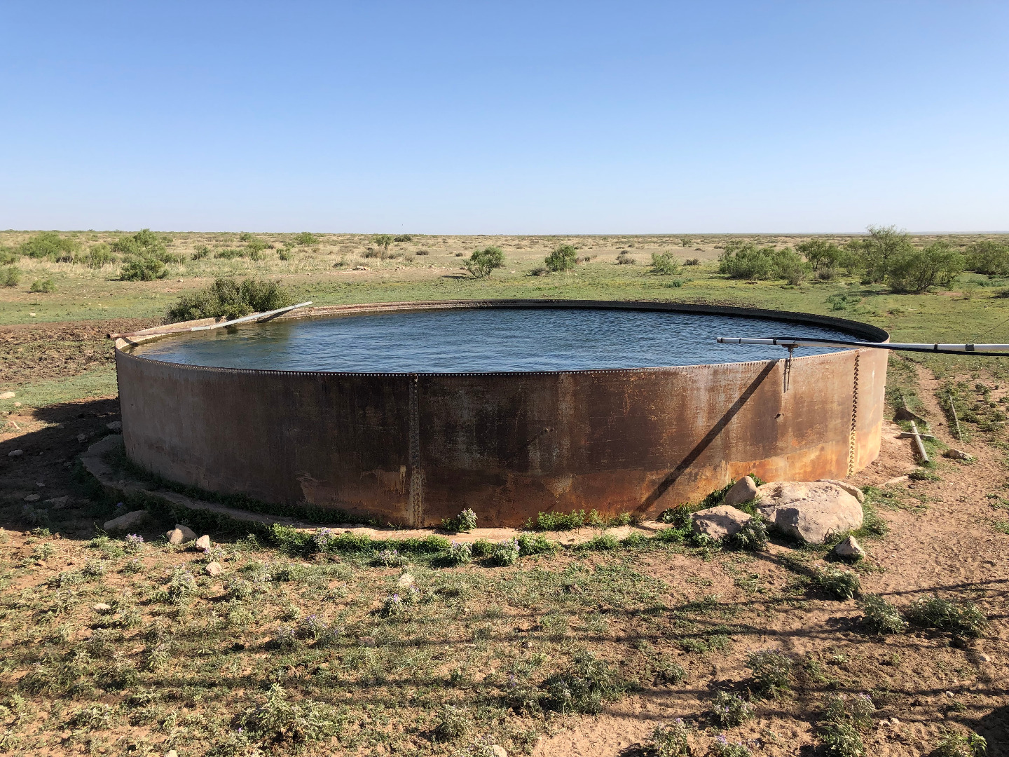
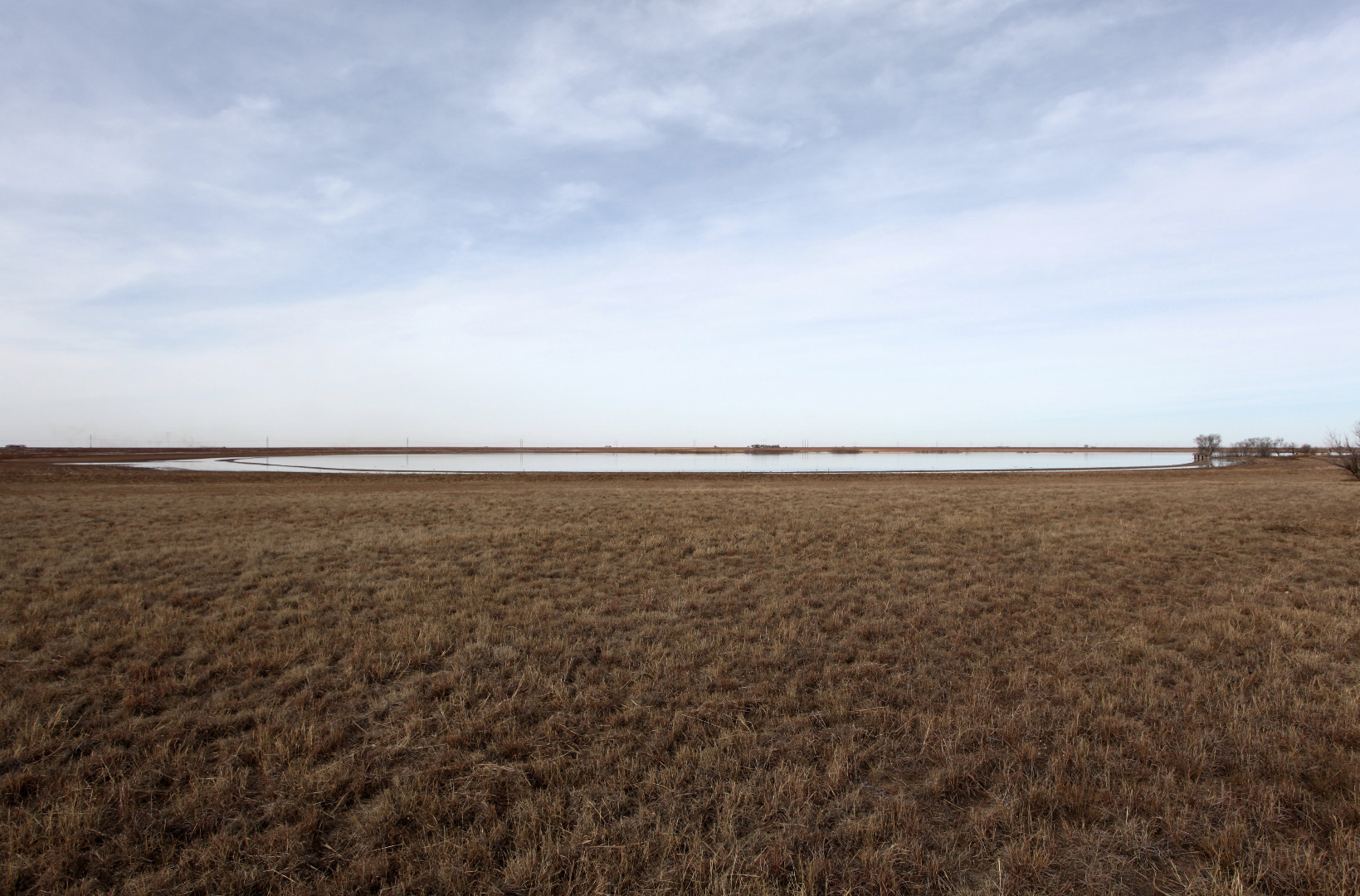
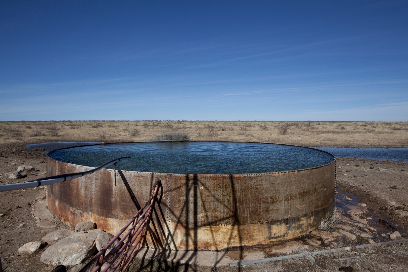
The Inkwell tank at the Yellow House Ranch, Hockley County, Texas (August 29, 2023) |
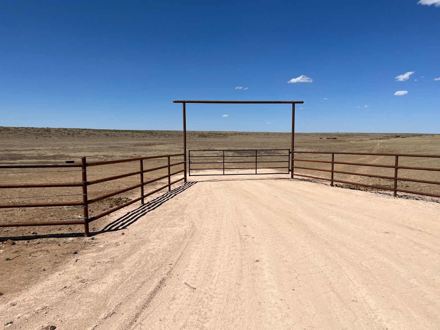 |
Ranch gate within Middle Tule Draw, north of Nazareth, Texas (April 14, 2023) |
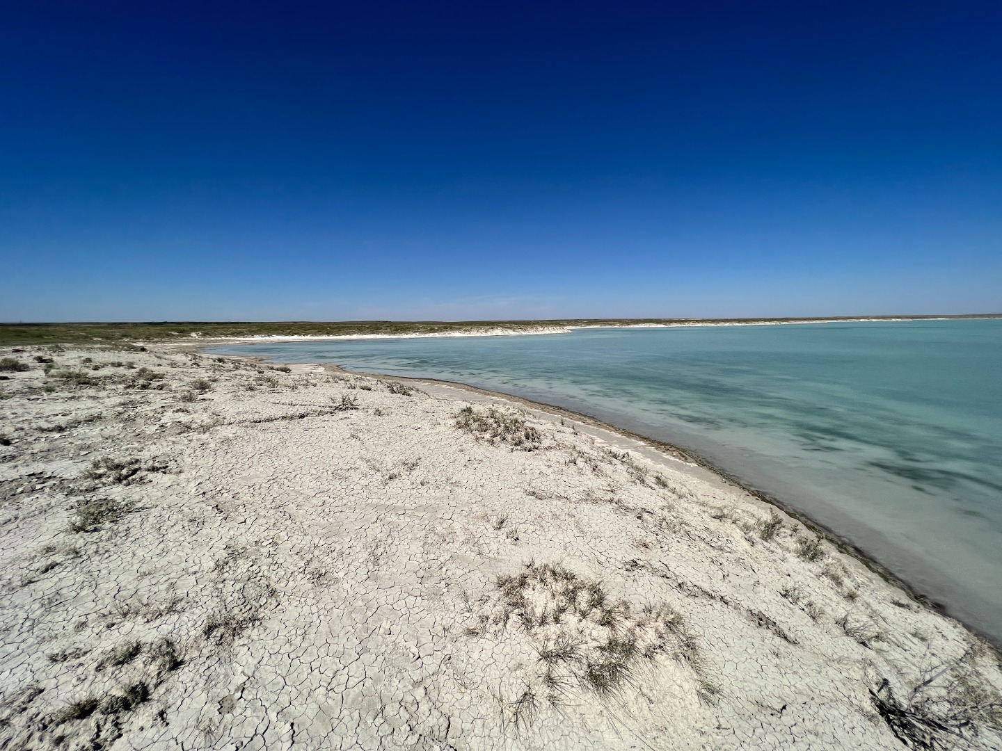 |
Turquoise waters of Yellow Lake, Hockley County, Texas (September 29, 2022) |
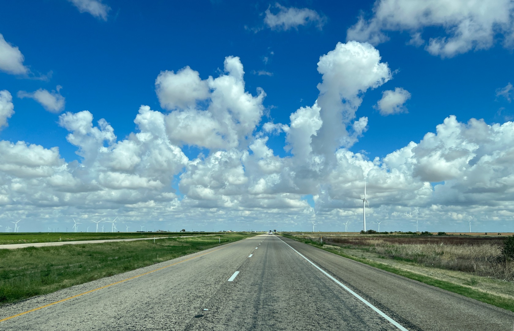 |
Clouds above US Highway 84 (August 25, 2022) |
 |
Cattle tank on the Yellow House Ranch, Hockley County, Texas (June 24, 2022) |
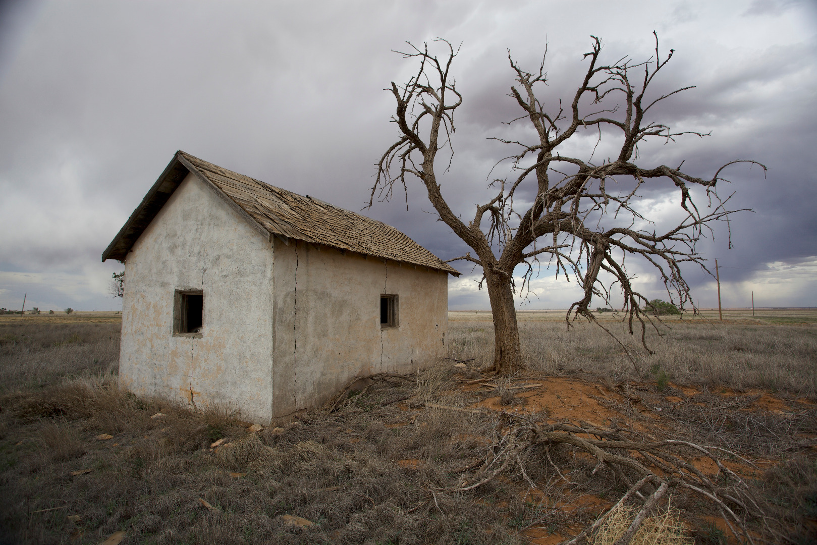 |
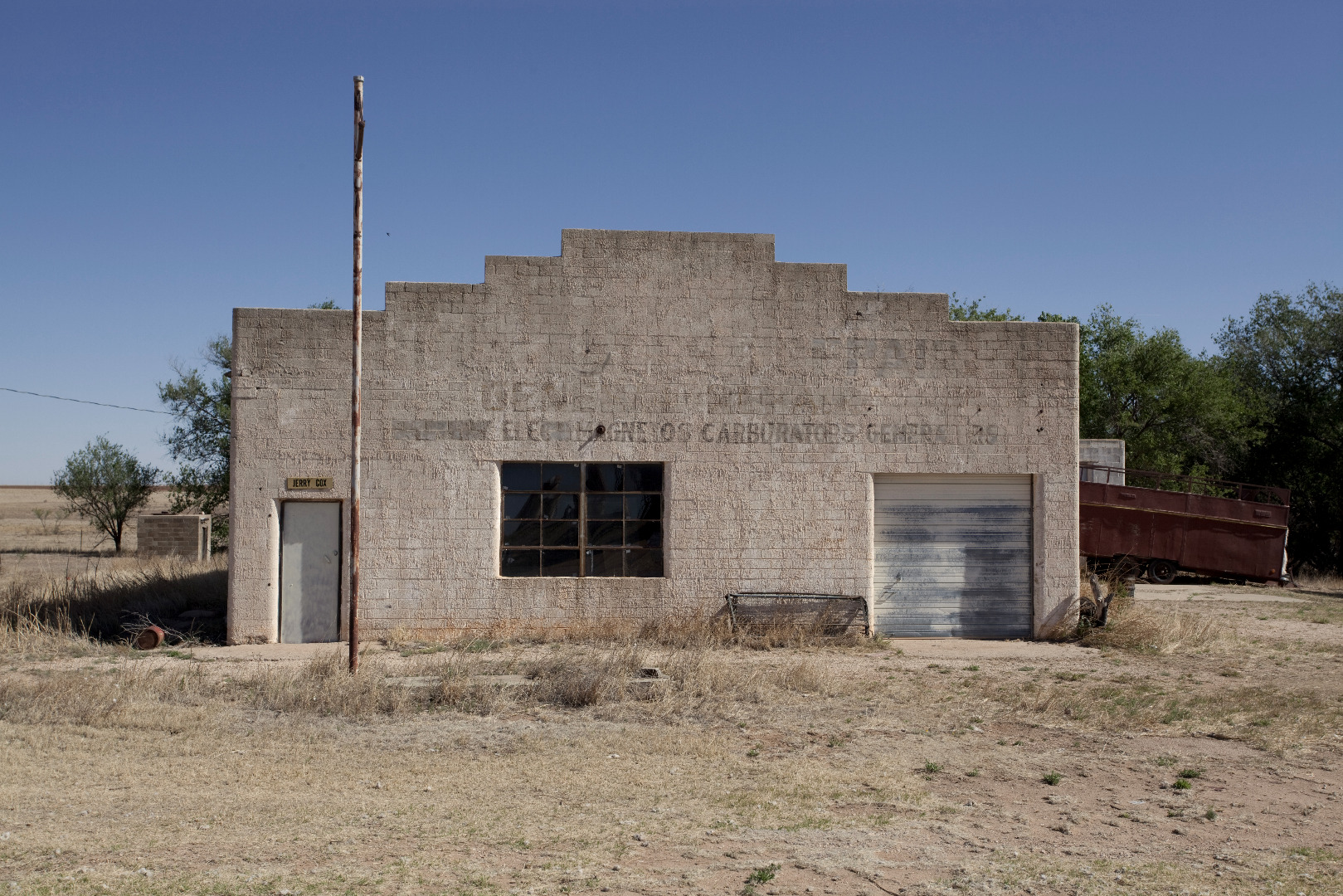
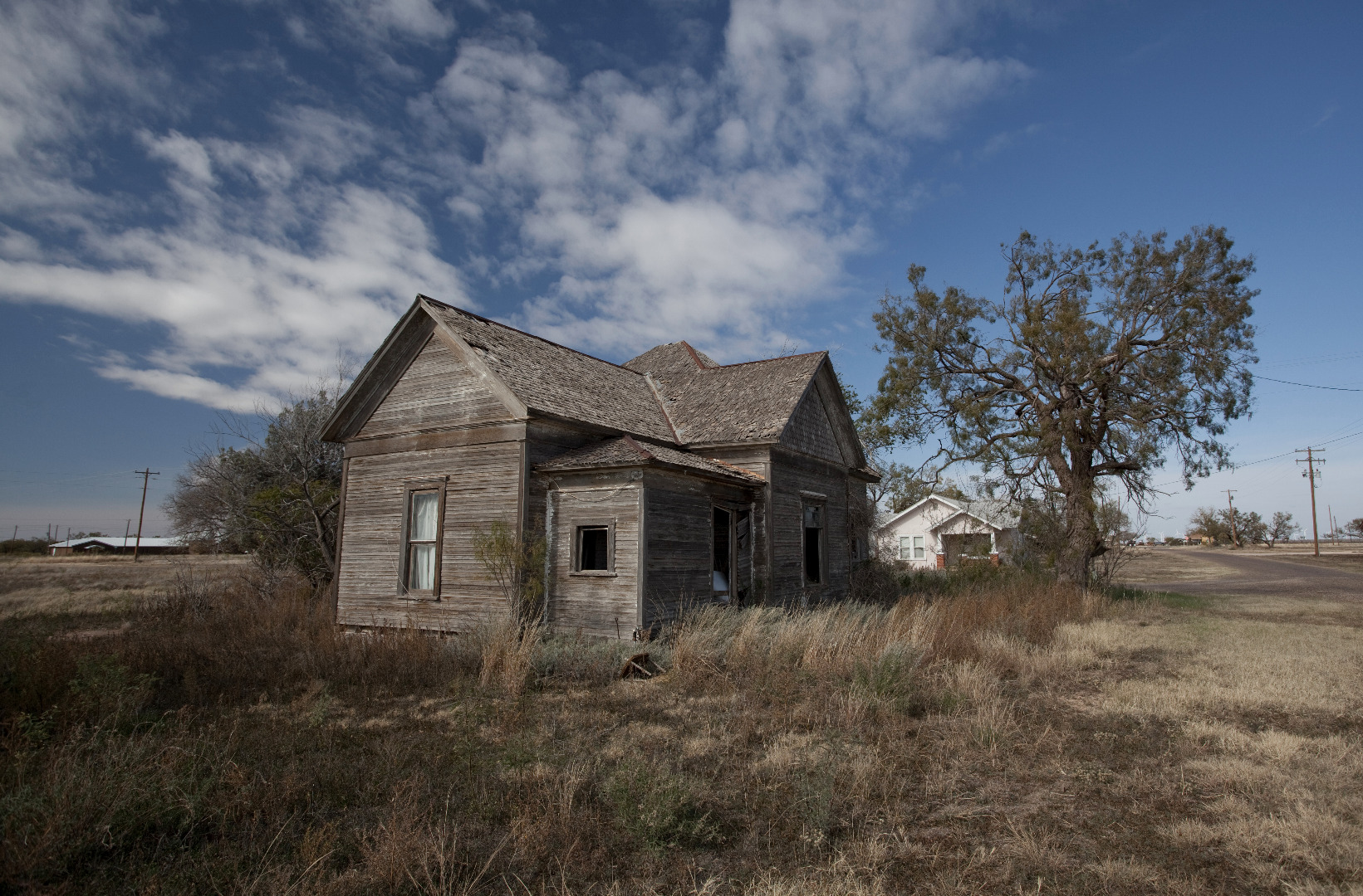
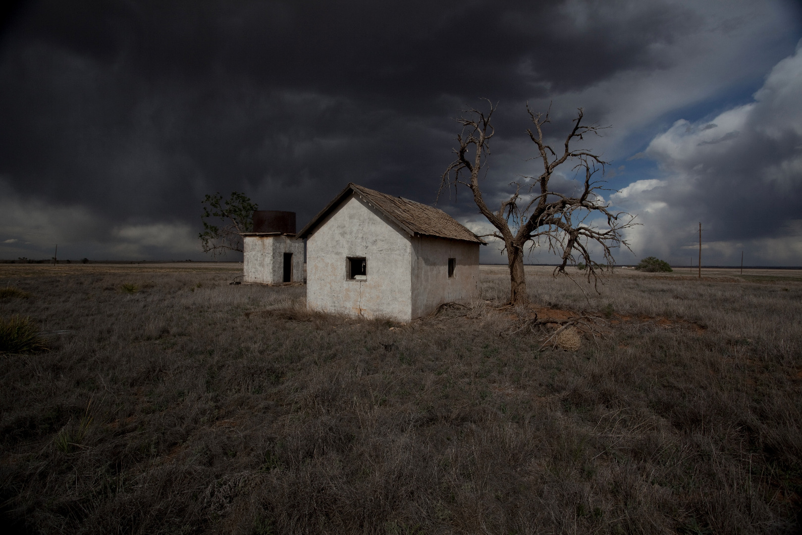
Abandoned building on the High Plains of Texas |
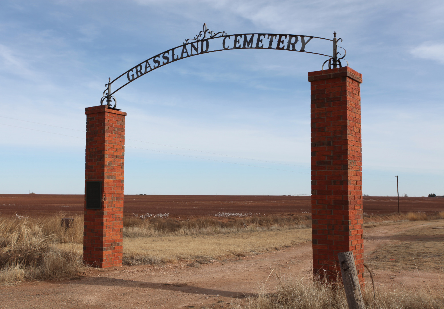 |
Cemetery near Grassland, Texas |
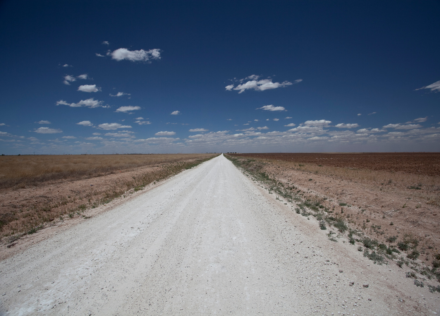 |
Caliche road, Hockley County, Texas (May 29, 2011) |
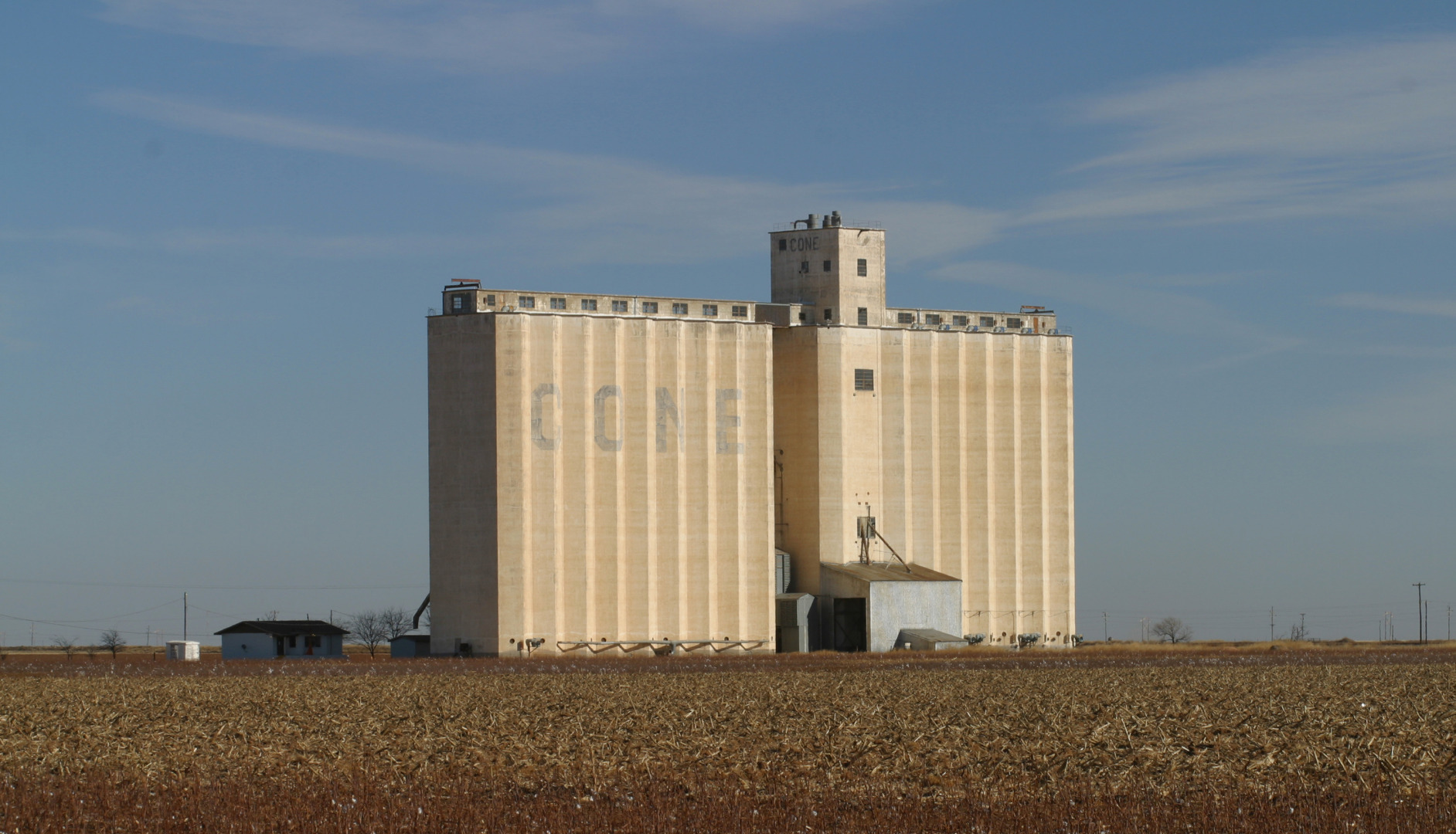 |
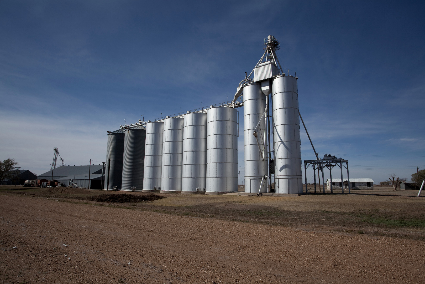
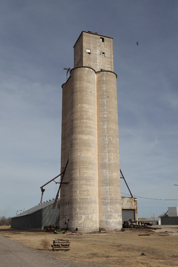
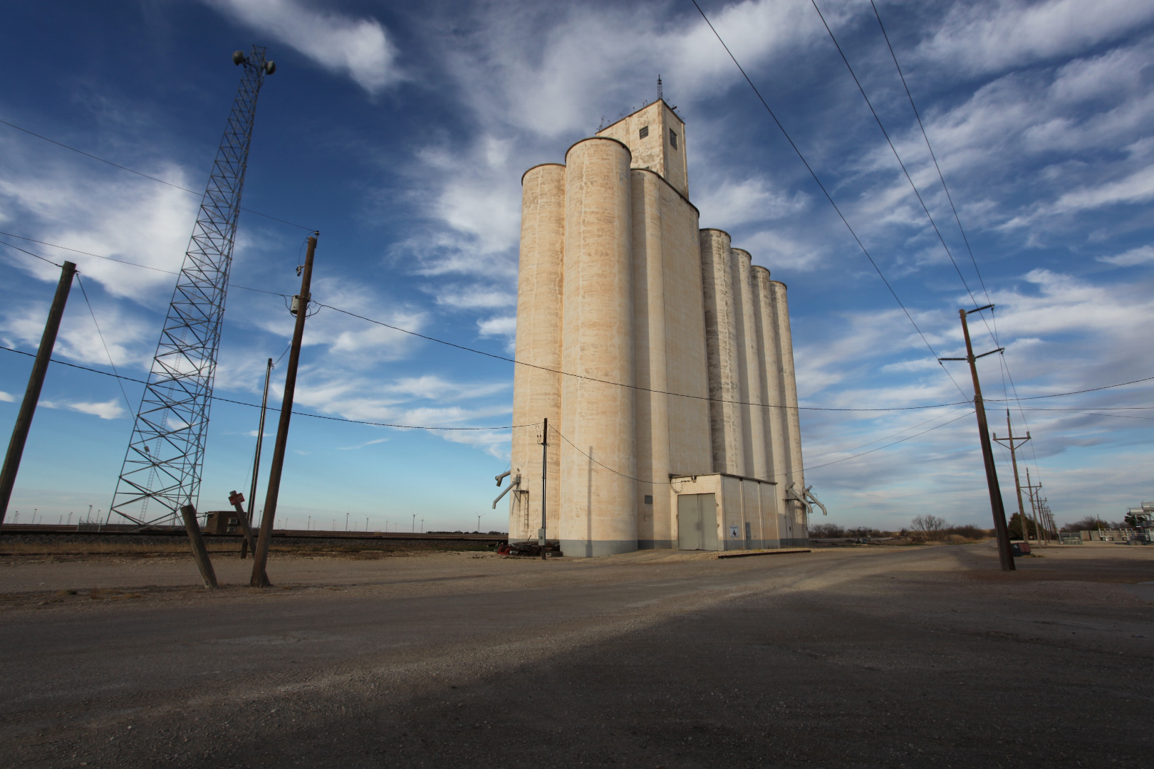
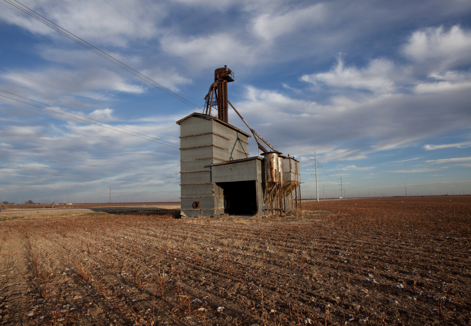
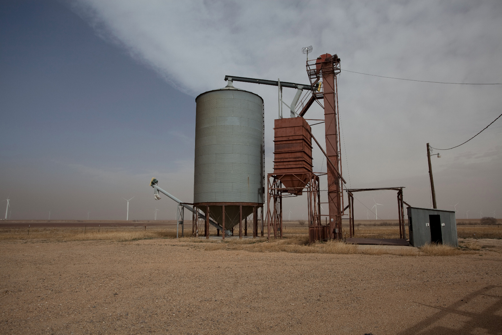
Cone grain elevator in Hale County |
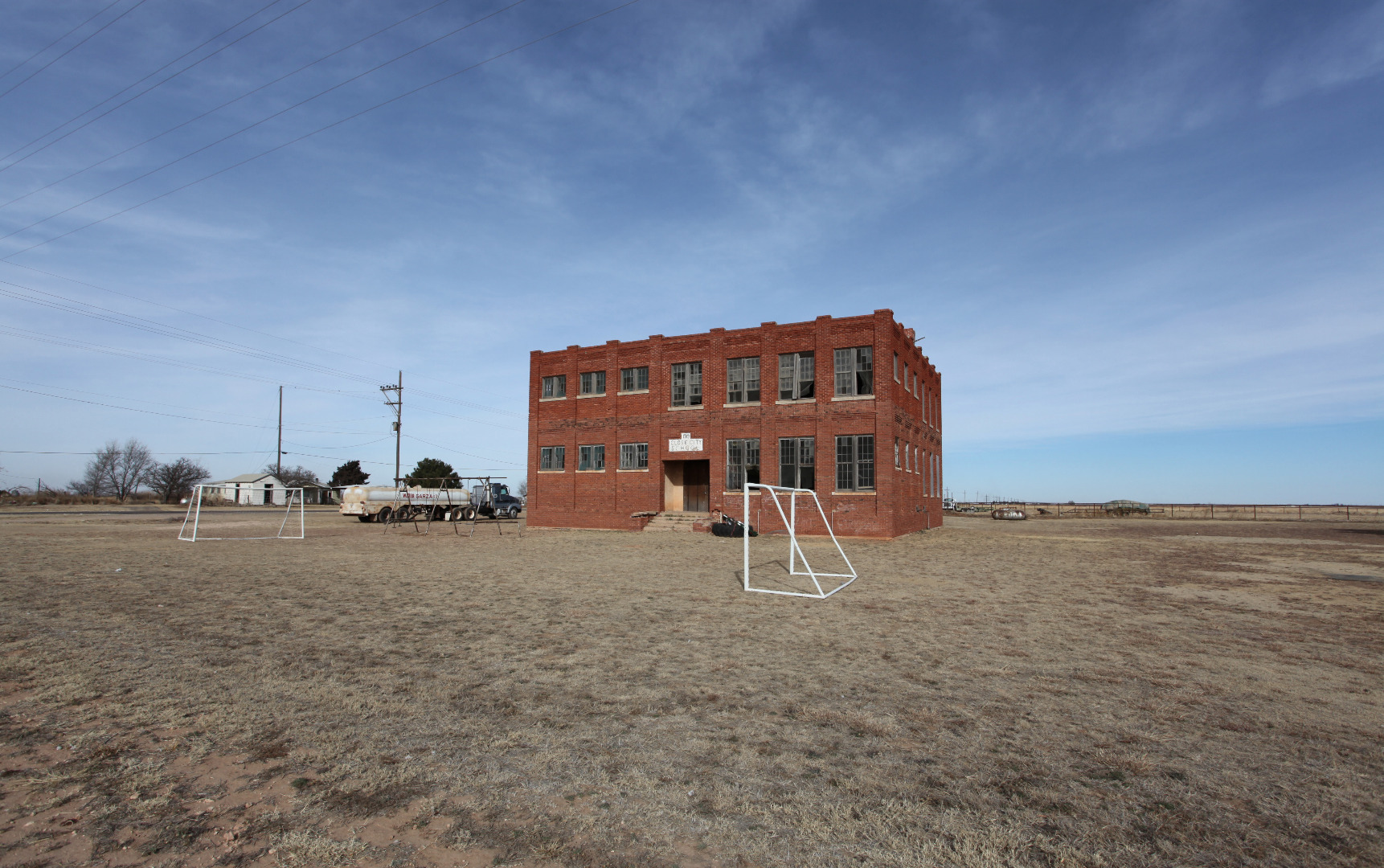 |
Abandoned school in Close City, Texas |
 |
Alamogordo Valley at the northwestern edge of the Llano Estacado |
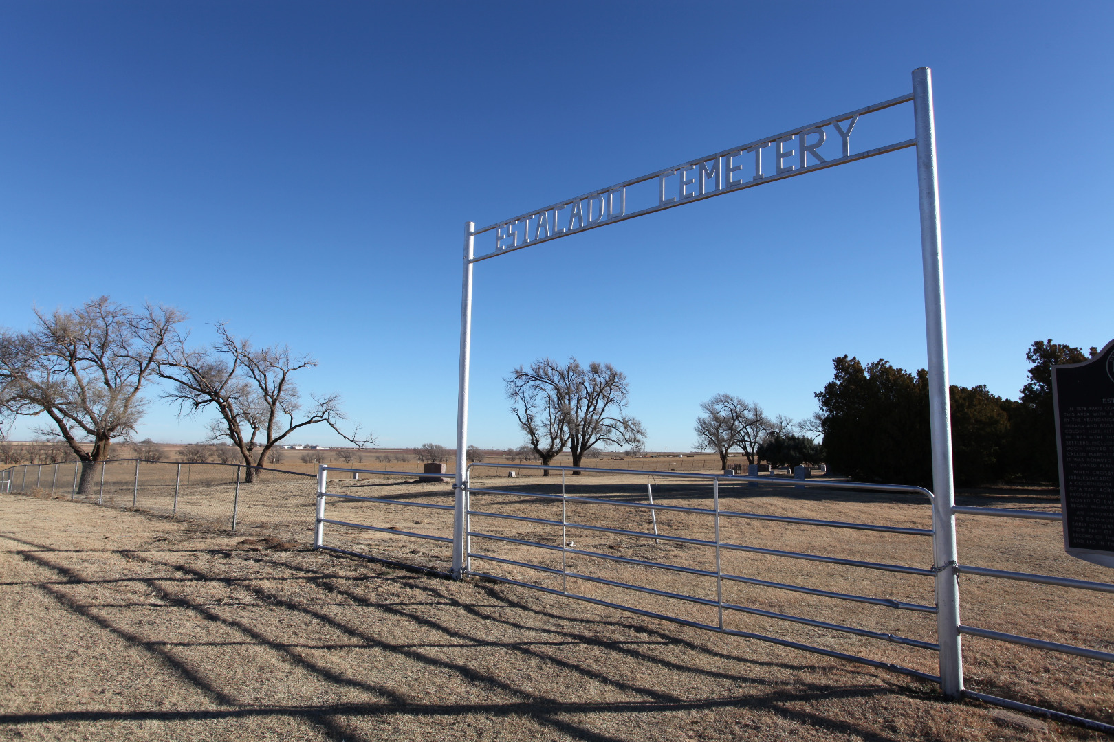 |
Estacado Cemetery |
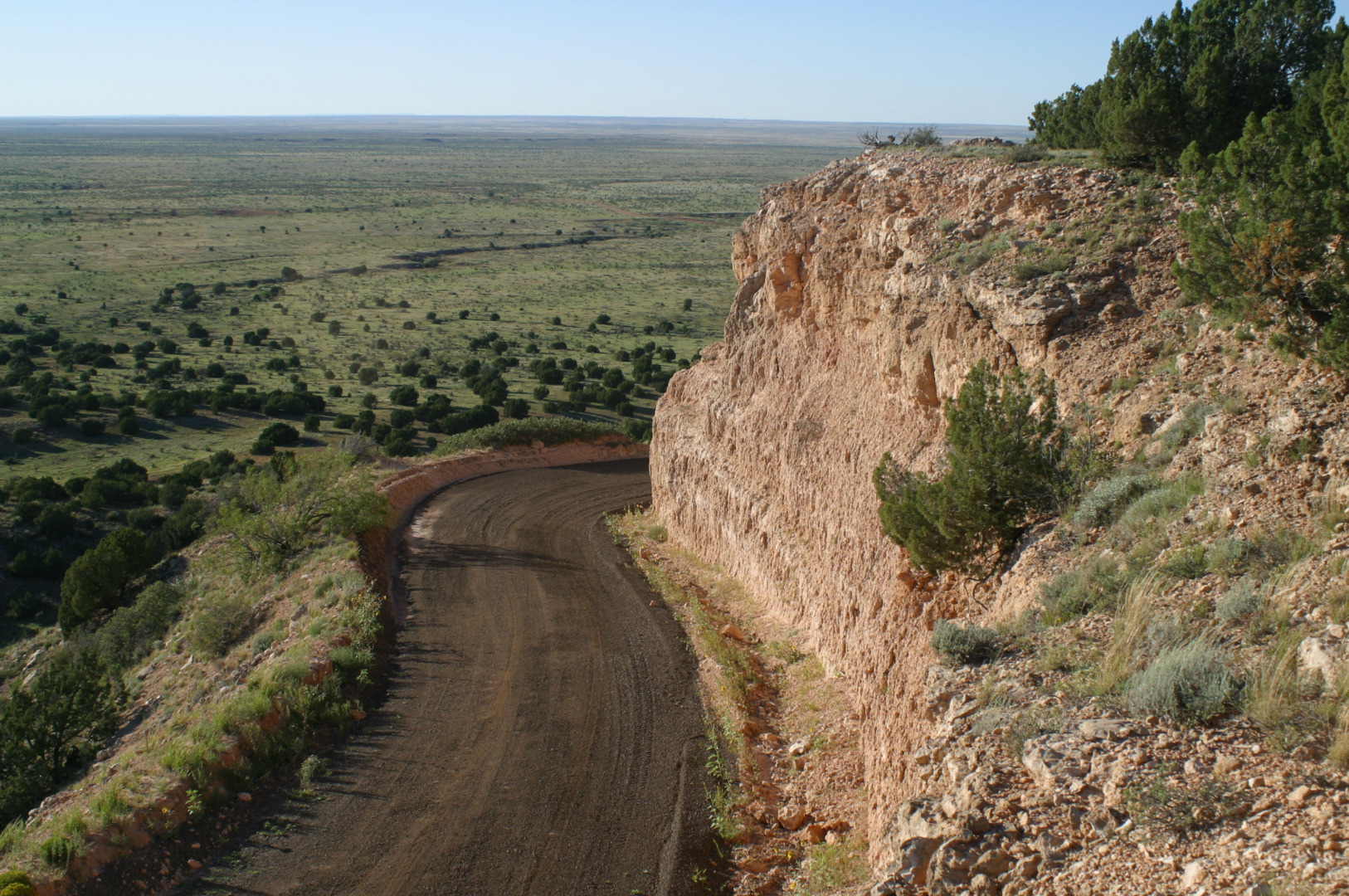 |
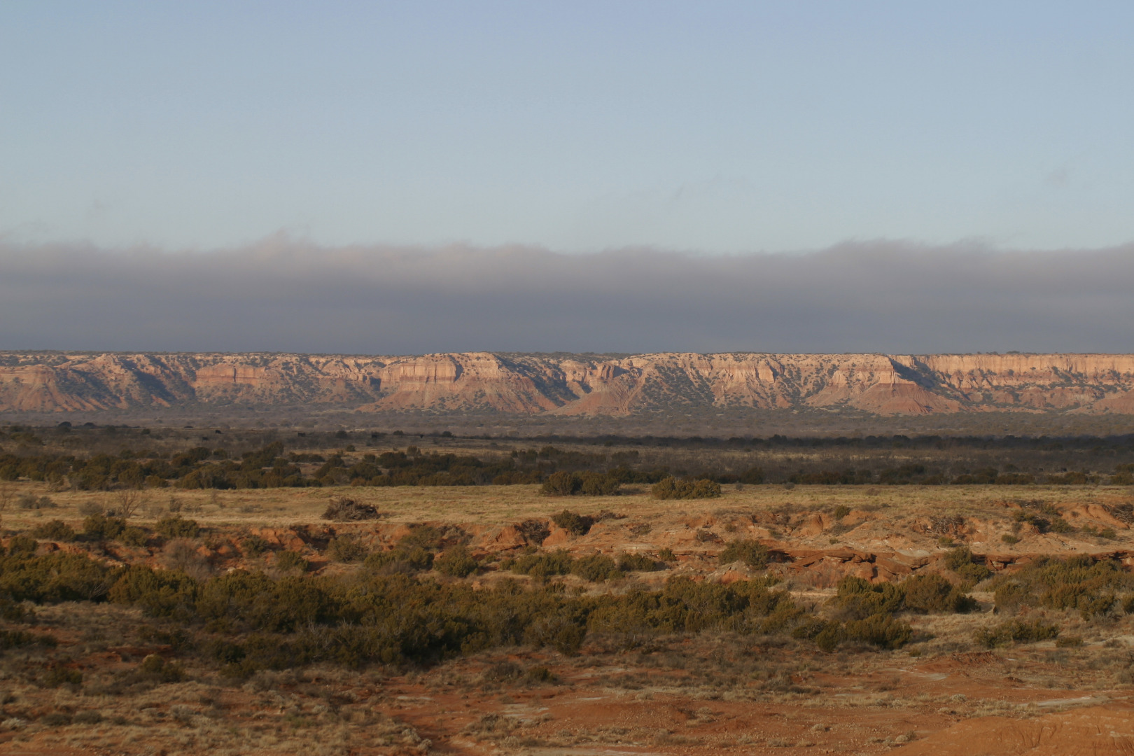
Canadian escarpment of the Llano Estacado |
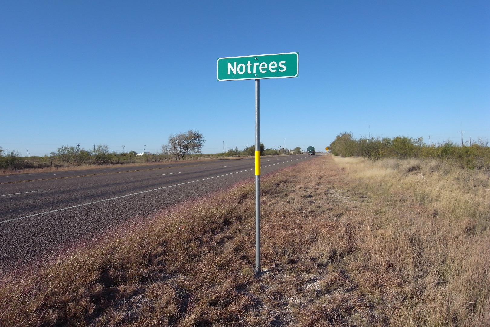 |
Notrees, Texas |
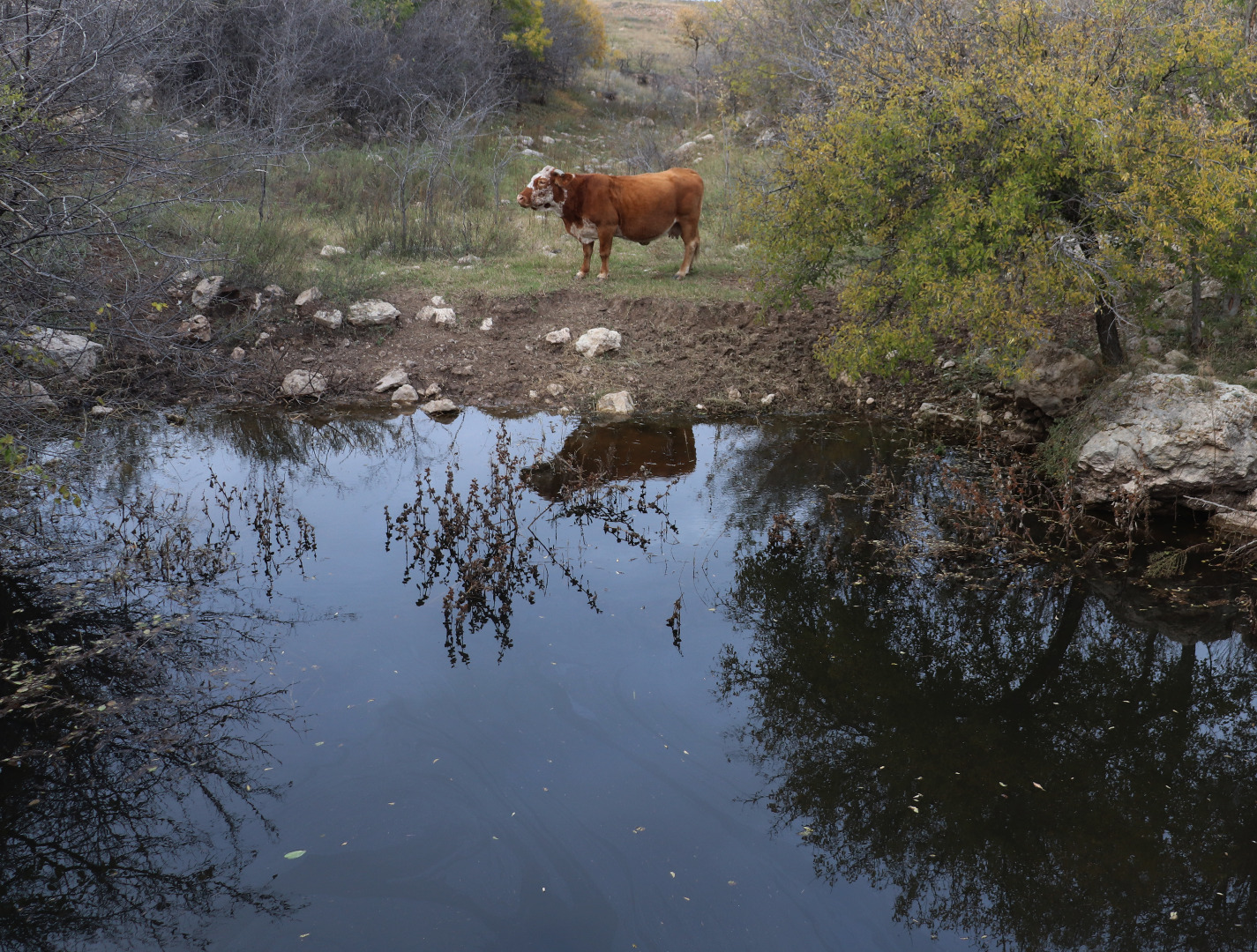 |
Large brown cow visiting the dark waters of the Inkwell pond at the Yellow House Ranch, Hockley County, Texas |
 |
Pasture at Bridwell Ranch, Crosby County, Texas (September 23, 2014) |
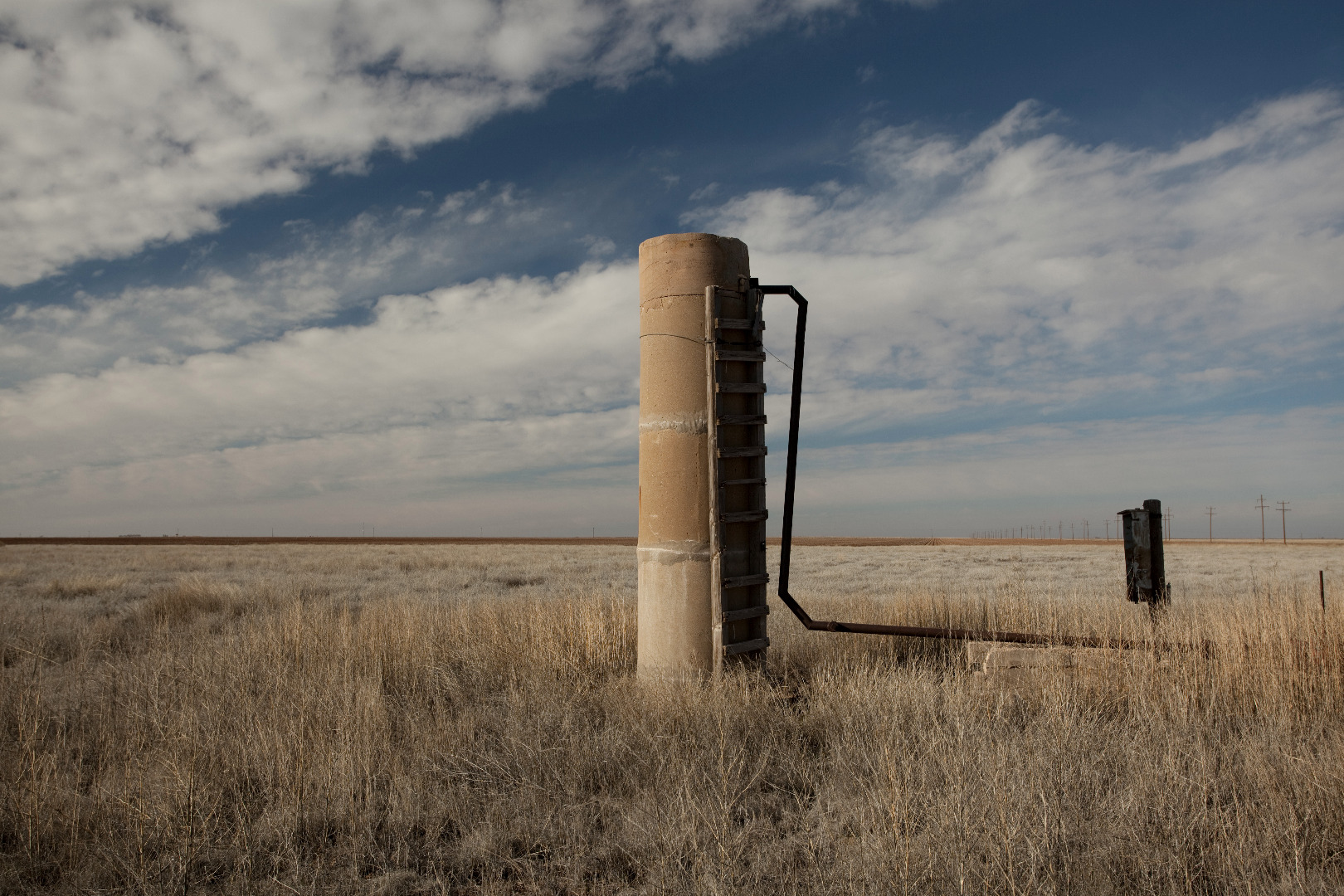 |
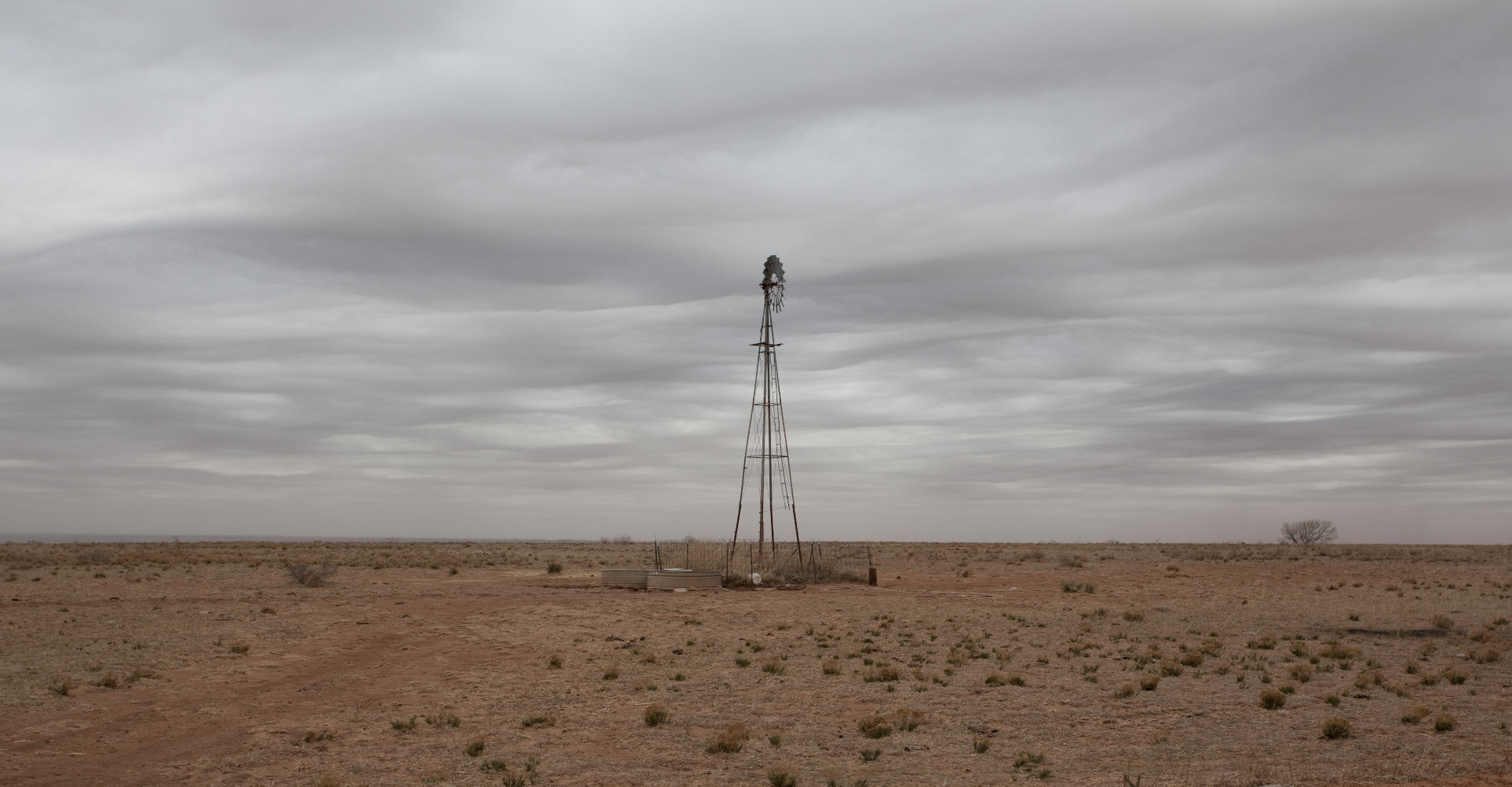
Irrigation standpipe west of Shallowater, Hockley County, Texas. (December 15, 2011) |
 |
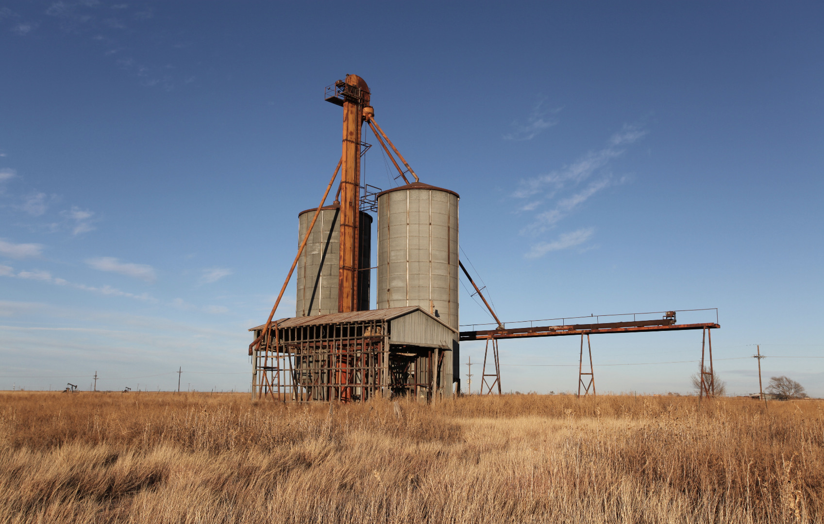
Steel grain elevator in Barwise, Floyd County, Texas (December 26, 2011) |
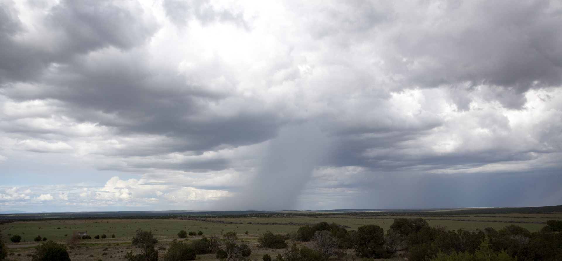 |
Summer shower, San Miguel County, New Mexico (August 19, 2011) |
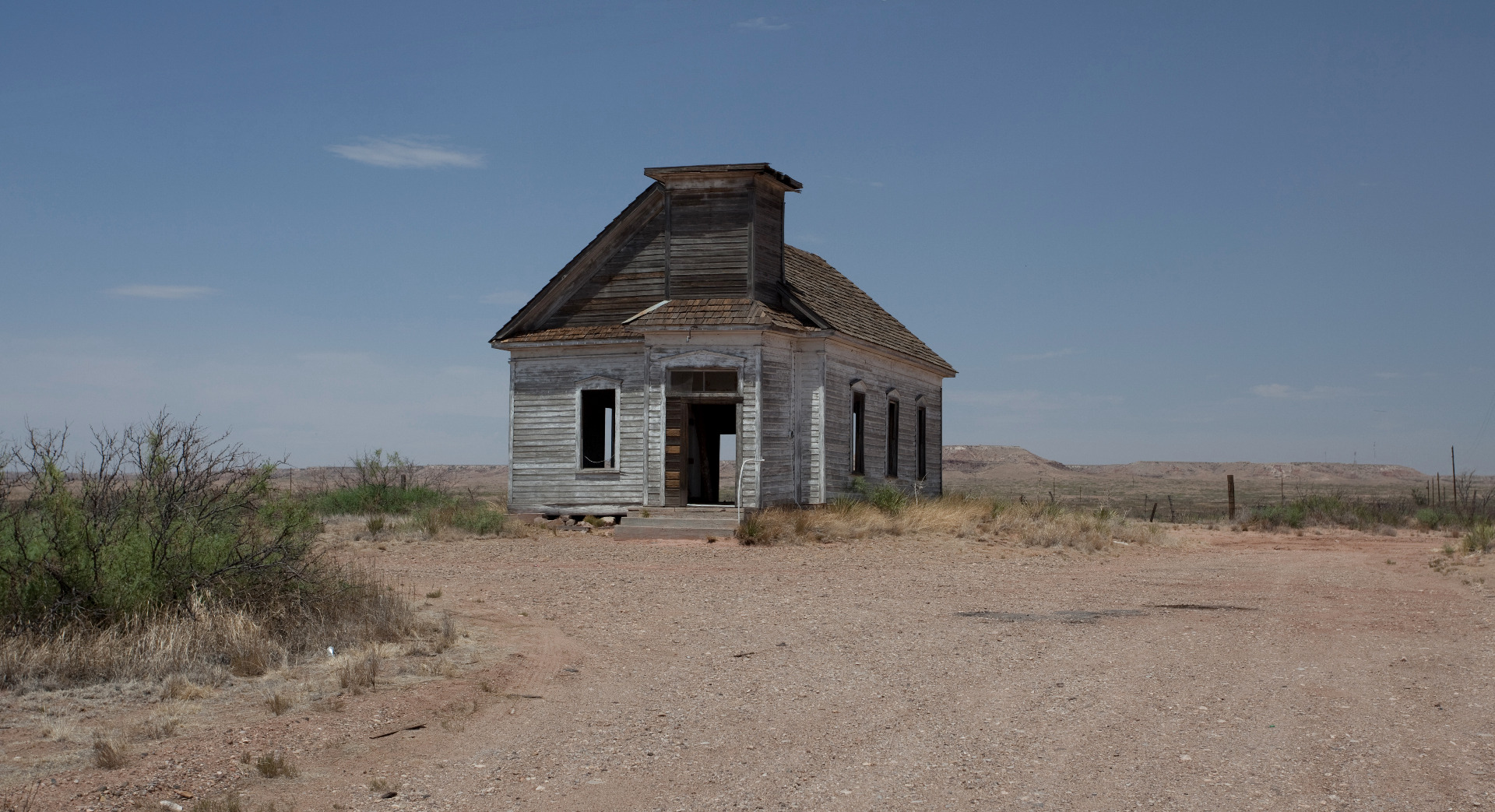 |
Abandoned Presbyterian church, Taiban, New Mexico (August 10, 2011) |
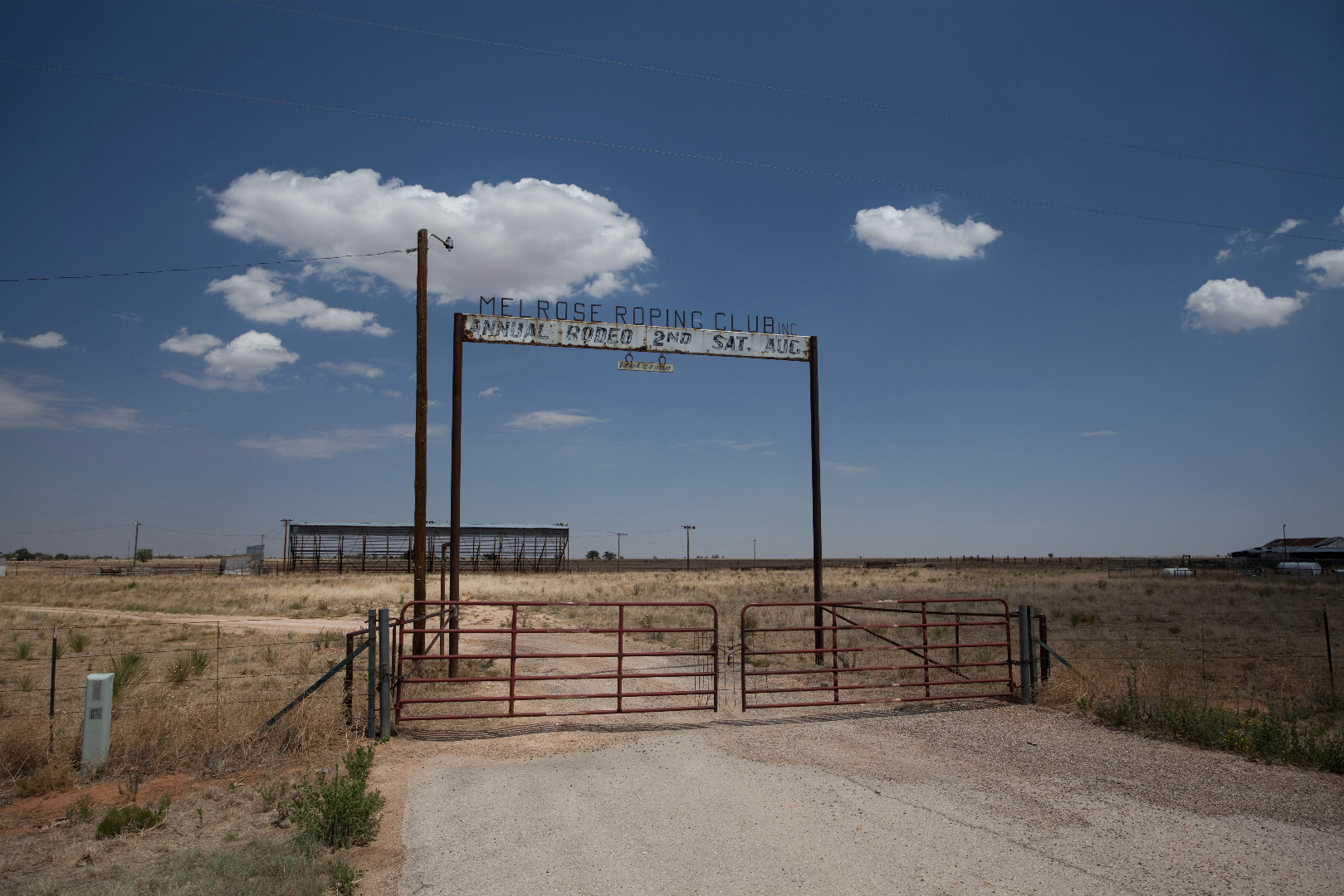 |
Melrose Roping Club, Curry County, New Mexico (August 10, 2011) |
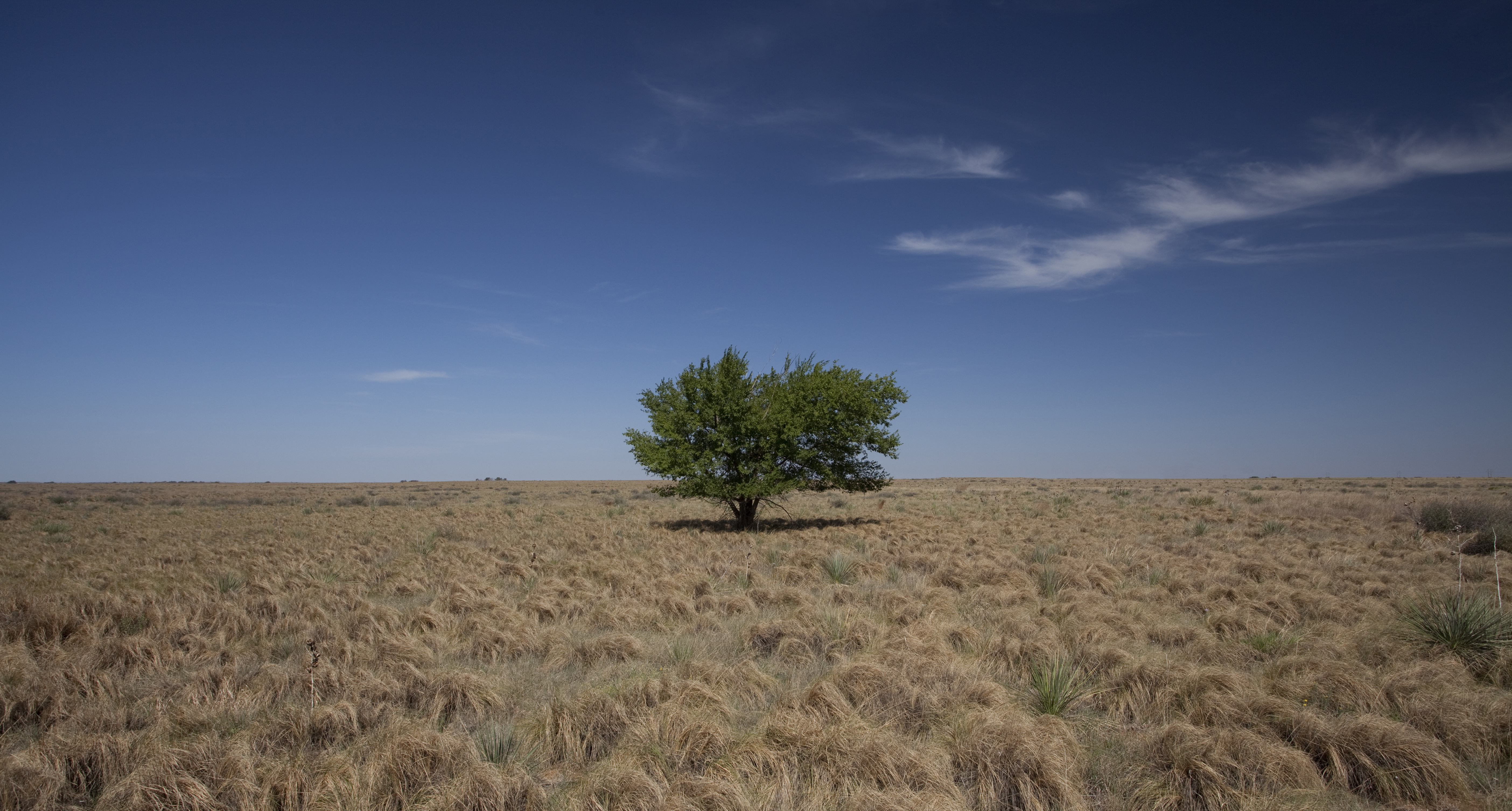 |
A lone tree on the treeless high plains, Hockley County, Texas (July 26,2011) |
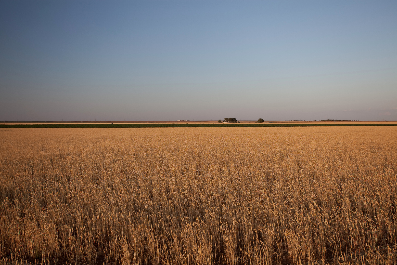 |
Wheat on the Llano Estacado, Lubbock County, Texas (July 23, 2011) |
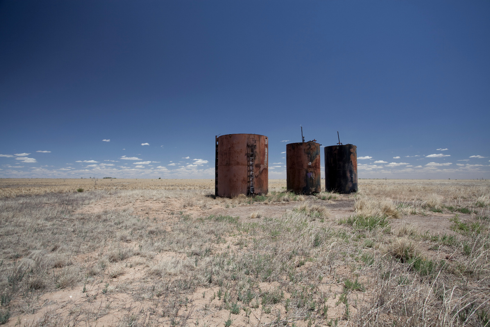 |
Oil storage tanks, Hockley County, Texas (May 25, 2011) |
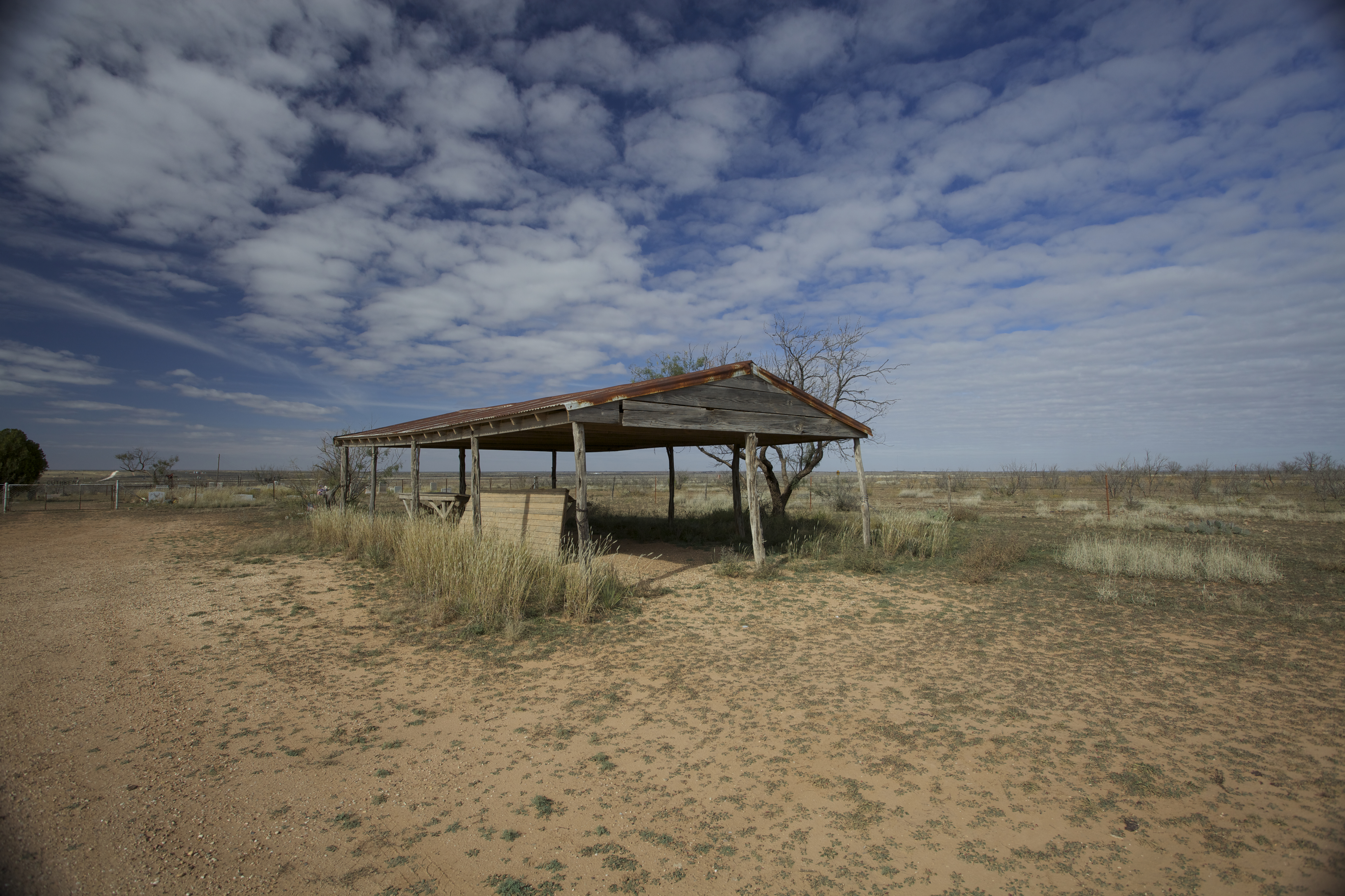 |
Cuthbert, Texas |
 |
Abandoned church in Estacado, Texas (May 1, 2011) |
 |
An old garage in Bula, Texas (April 28, 2011) |
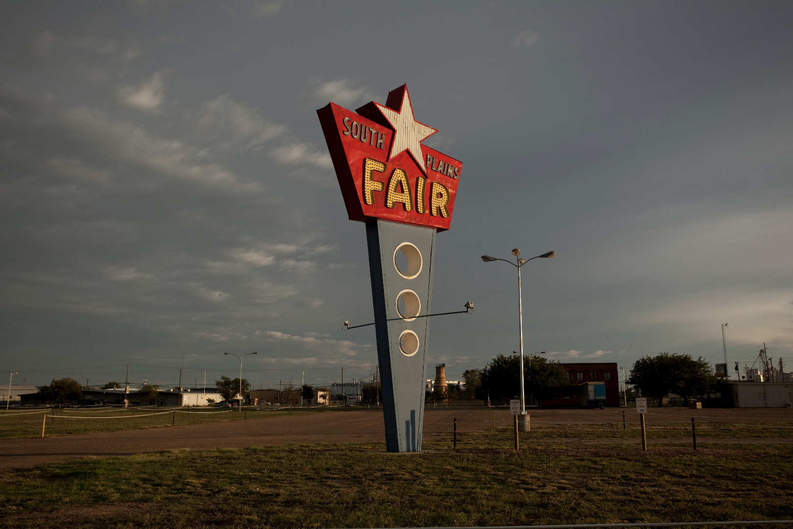 |
South Plains Fair, Lubbock, Texas (September 16, 2012) |
 |
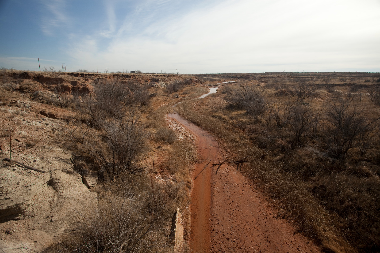
Farm to Market Road 400 passing through Yellow House Canyon, Texas (April 24, 2011) |
 |
Weathered house in Fluvanna, Texas (November 18, 2012) |
 |
Overgrazed rangeland, Lamb County, Texas (March 24, 2011) |
 |
Colorado River, Borden County, Texas (January 30, 2011) |
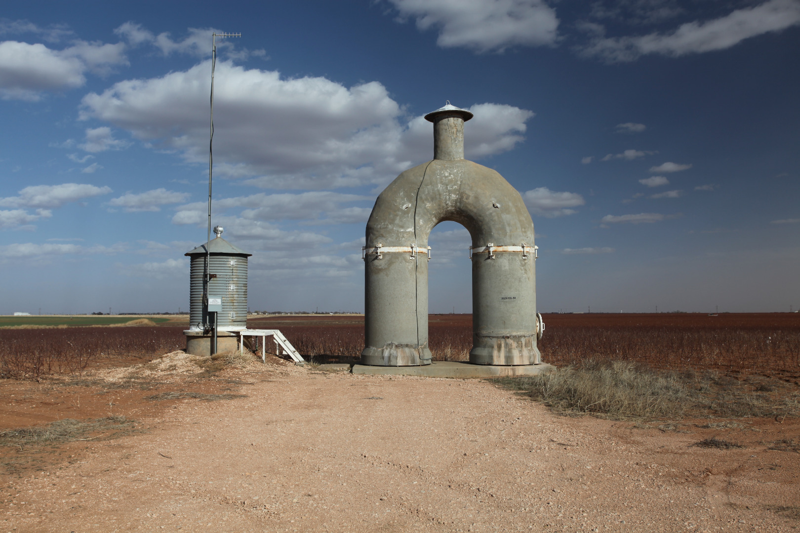 |
CRMWA aqueduct, Lubbock County, Texas (March 8, 2011) |
 |
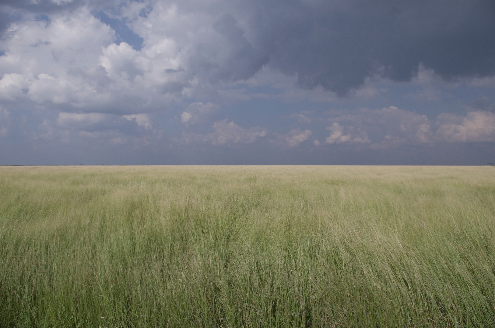
Grassland near Silver Lake, Hockley County, Texas (January 21, 2011) |
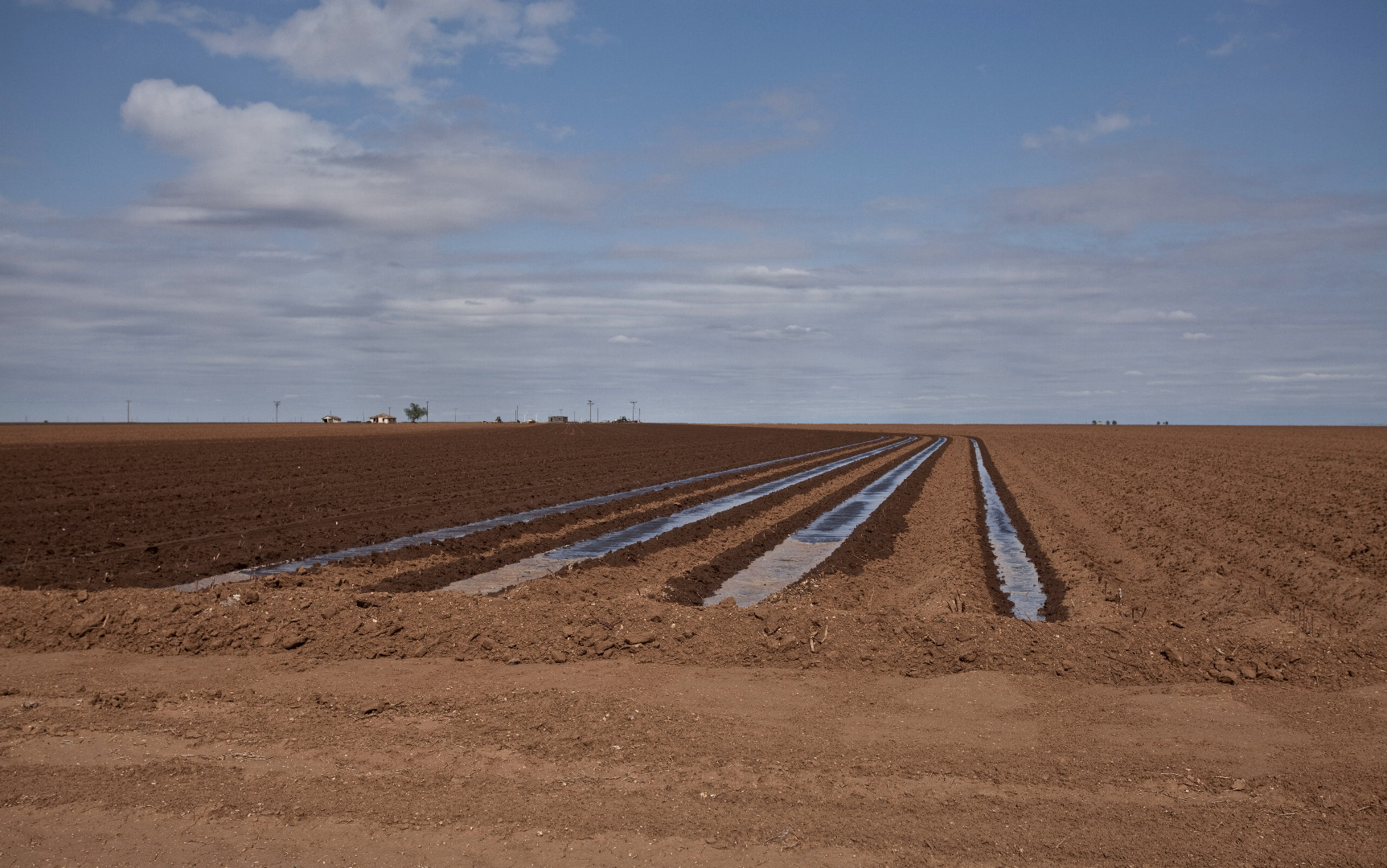 |
Row irrigation south of Lorenzo, Texas (May 1, 2011) |
 |
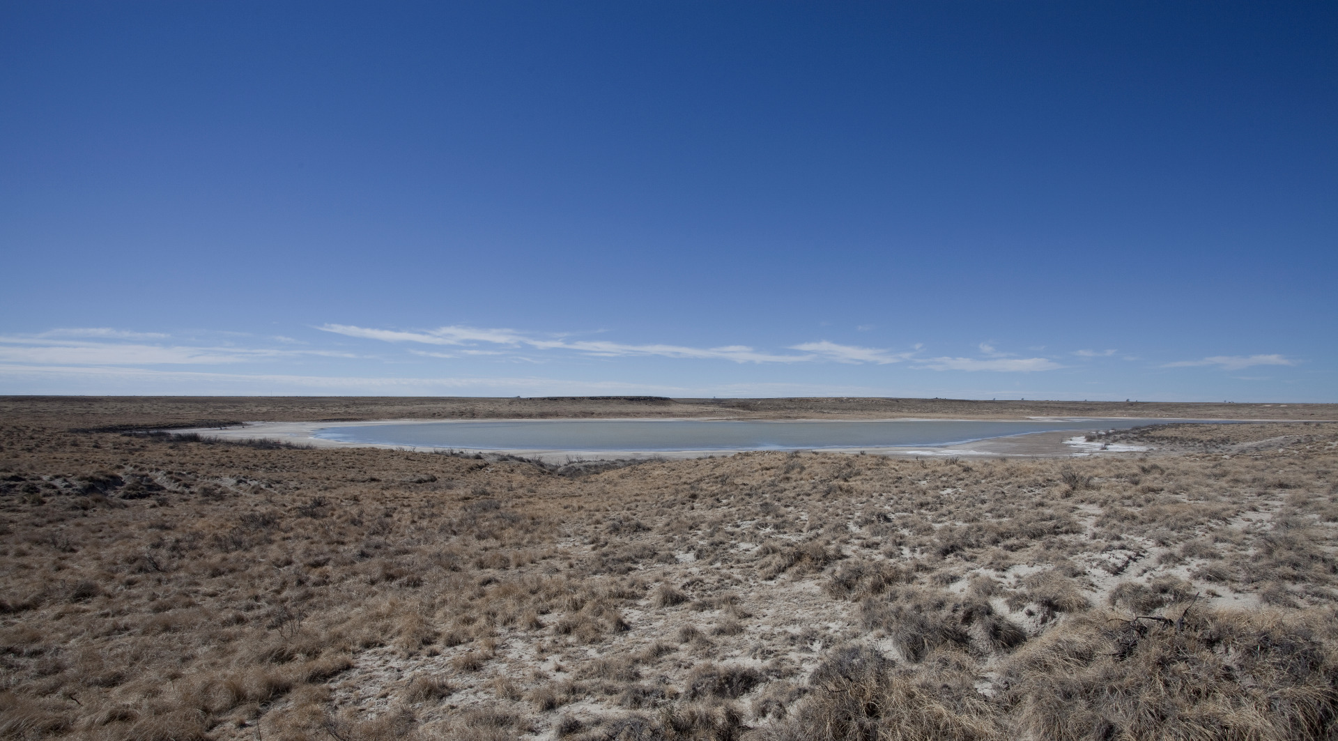
Playa lake near the ghost town of Gordon, Lynn County, Texas (January 6, 2011) |
 |
West of Amherst, Texas (April 16, 2012) |
 |
Grain elevator, O'Donnell, Texas (January 6, 2011) |
 |
Abandoned grain elevator, County Line, Texas (January 3, 2011) |
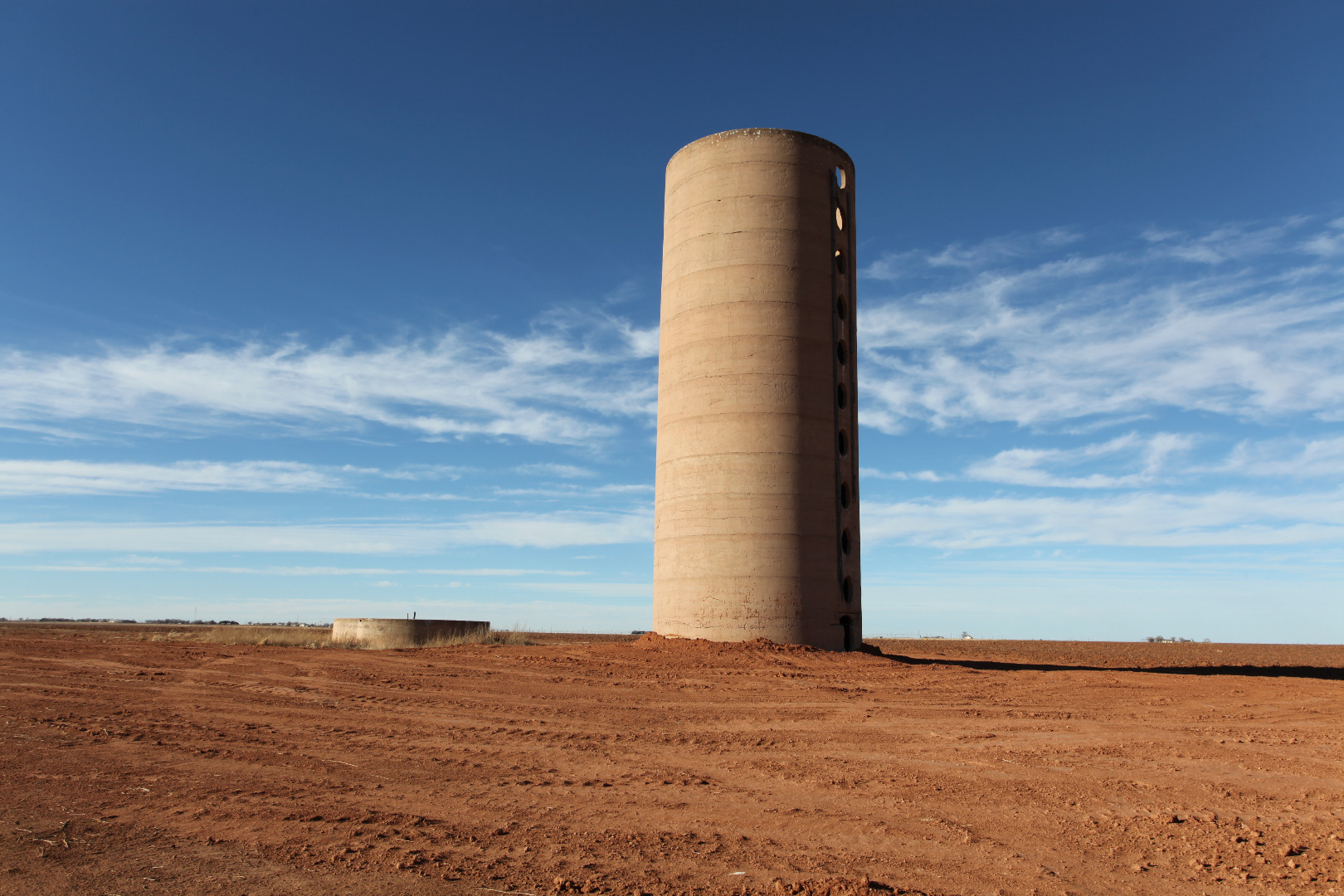 |
Grain silo of the former Spade Ranch - North Division, Lamb County, Texas (January 3, 2011) |
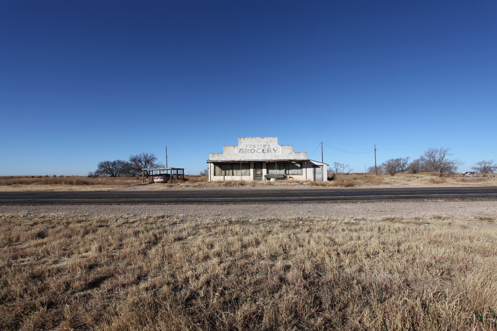 |
Foster's Grocery, Hart Camp, Texas (December 30, 2010) |
 |
Plowboy grain elevator, Roscoe, Texas (February 21, 2011) |
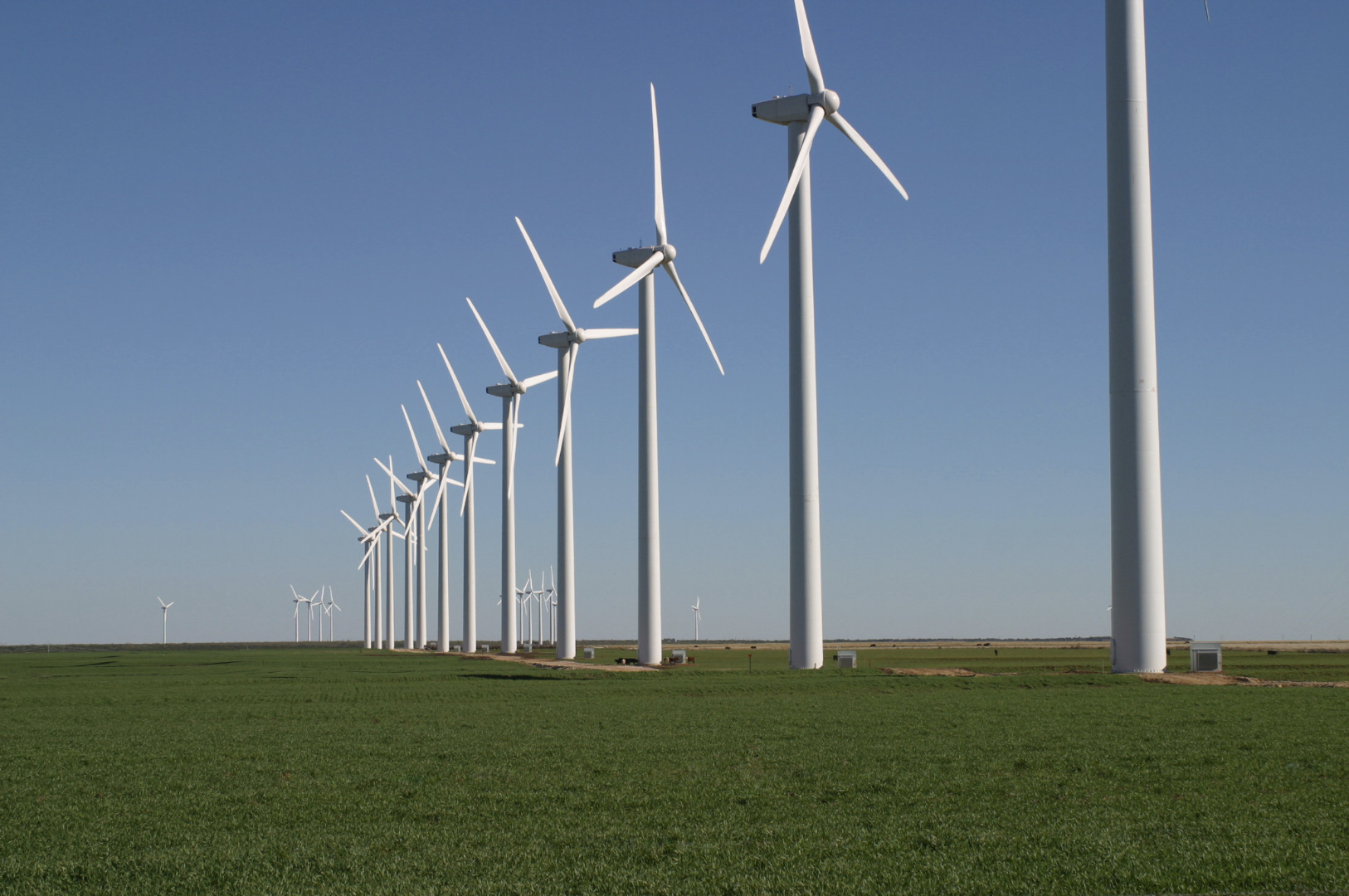 |
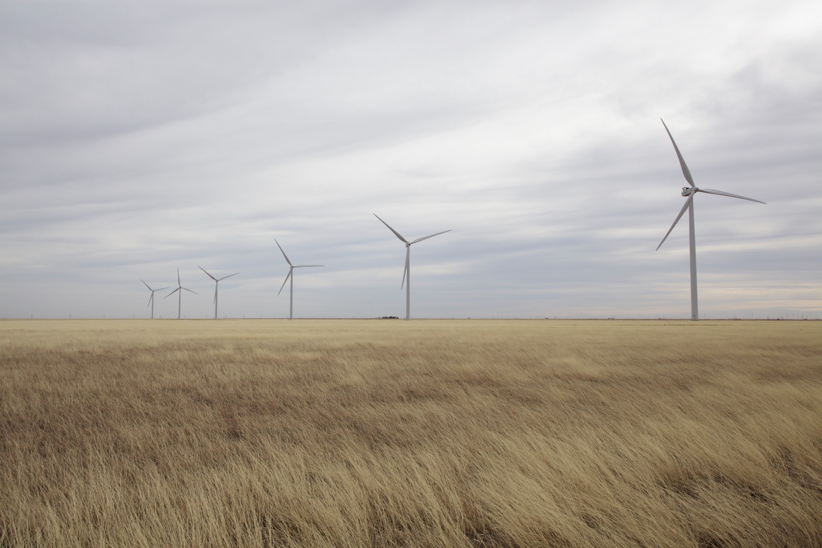
Brazos Wind Ranch, Scurry County, Texas (November 25, 2004) |
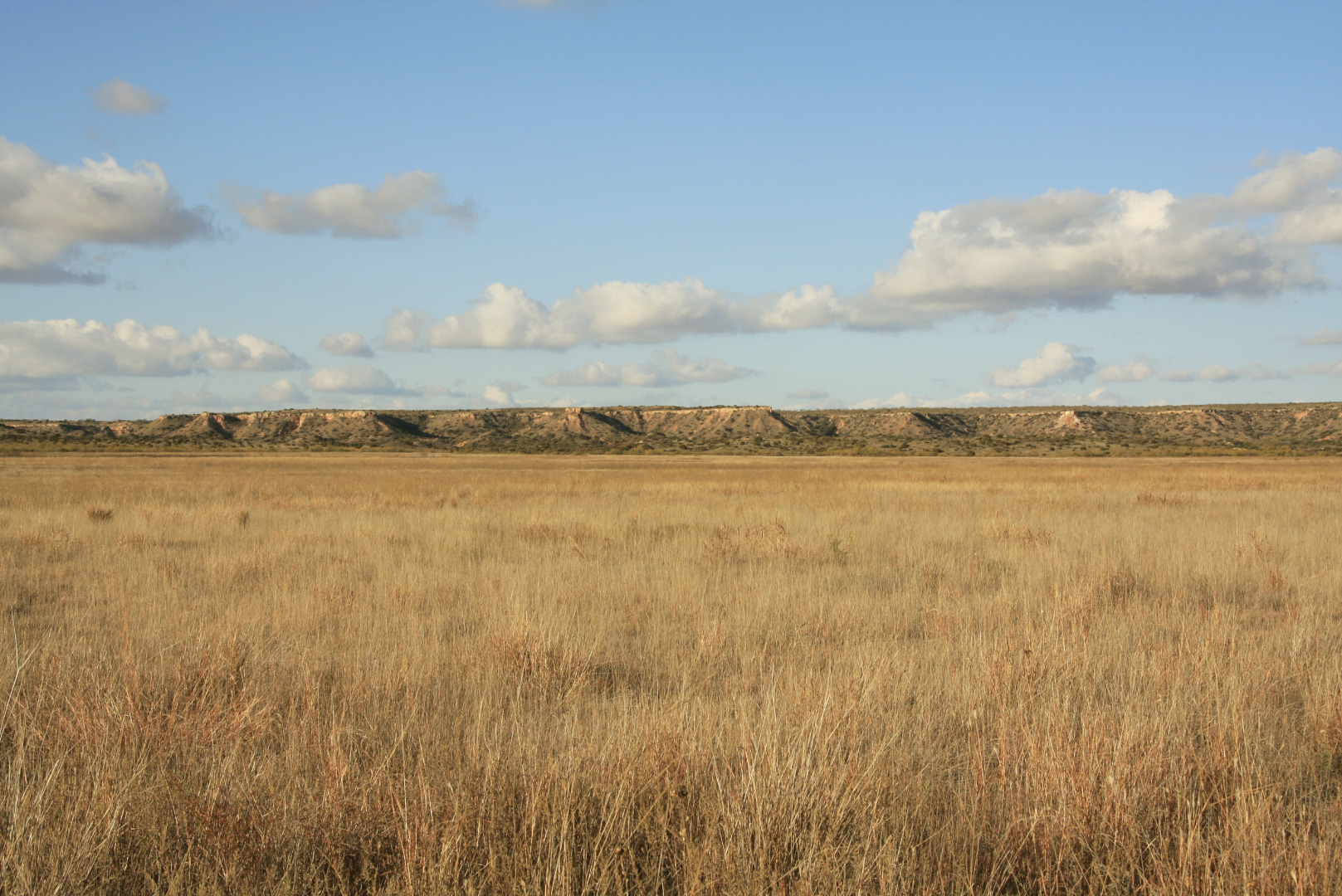 |
Caprock Escarpment south of Ralls, Texas (November 18, 2009) |
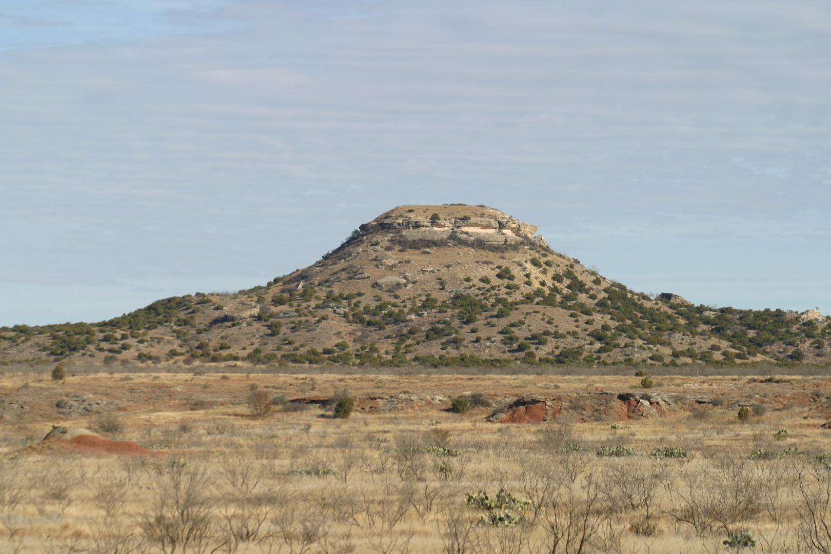 |
Mushaway Peak, Borden County, Texas (November 25, 2010) |
 |
Sandy road through shinnery oak, Crosby County, Texas (September 7, 2009) |
 |
Abandoned grain elevator in the ghost town of Wastella, Texas (February 21, 2011) |
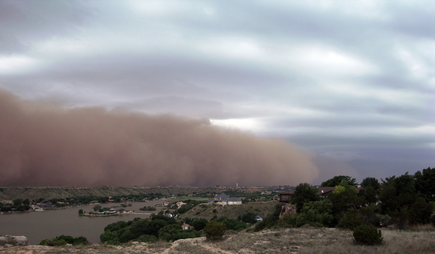 |
Haboob dust storm approaching Ransom Canyon, Texas (June 18, 2009) |
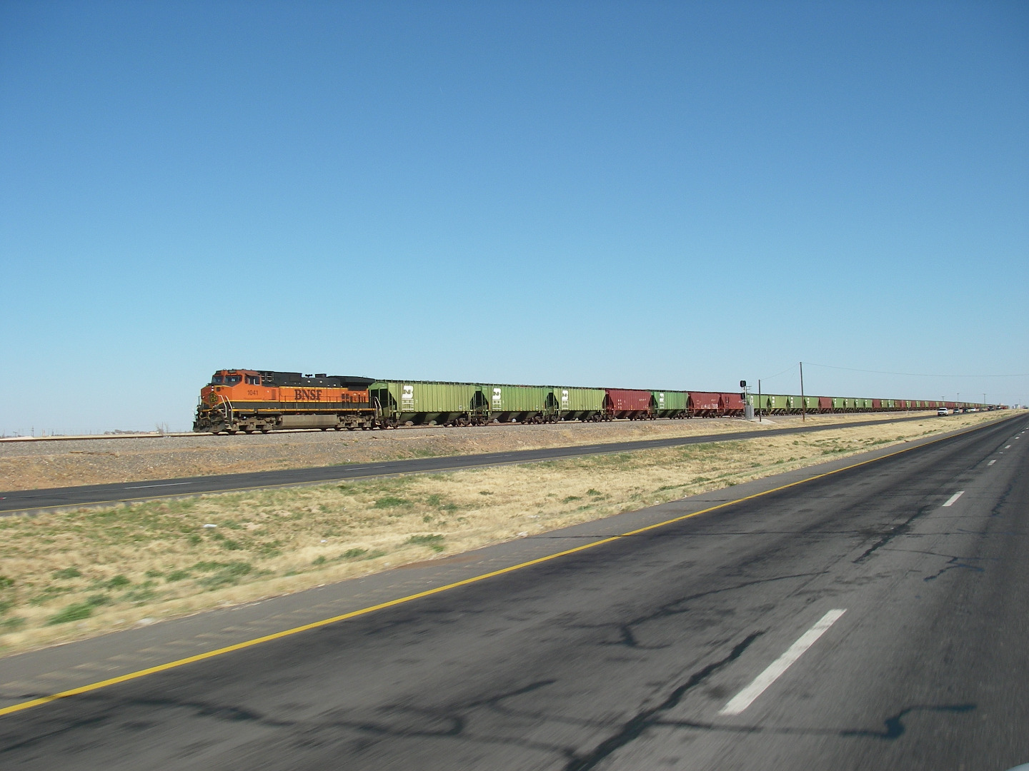 |
BNSF freight train, Lubbock County, Texas (March 31, 2009) |
 |
Yellow Lake, a saline playa in Hockley County, Texas. (March 29, 2013) |
 |
Goose Lake at Muleshoe National Wildlife Refuge, Bailey County, Texas. (December 23, 2016) |
 |
Grain silo in McAdoo, Texas. (December 19, 2012) |
 |
Caprock Escarpment, Garza County, Texas. (January 13, 2010) |
 |
Grain elevator, Crosbyton, Texas (date unknown) |
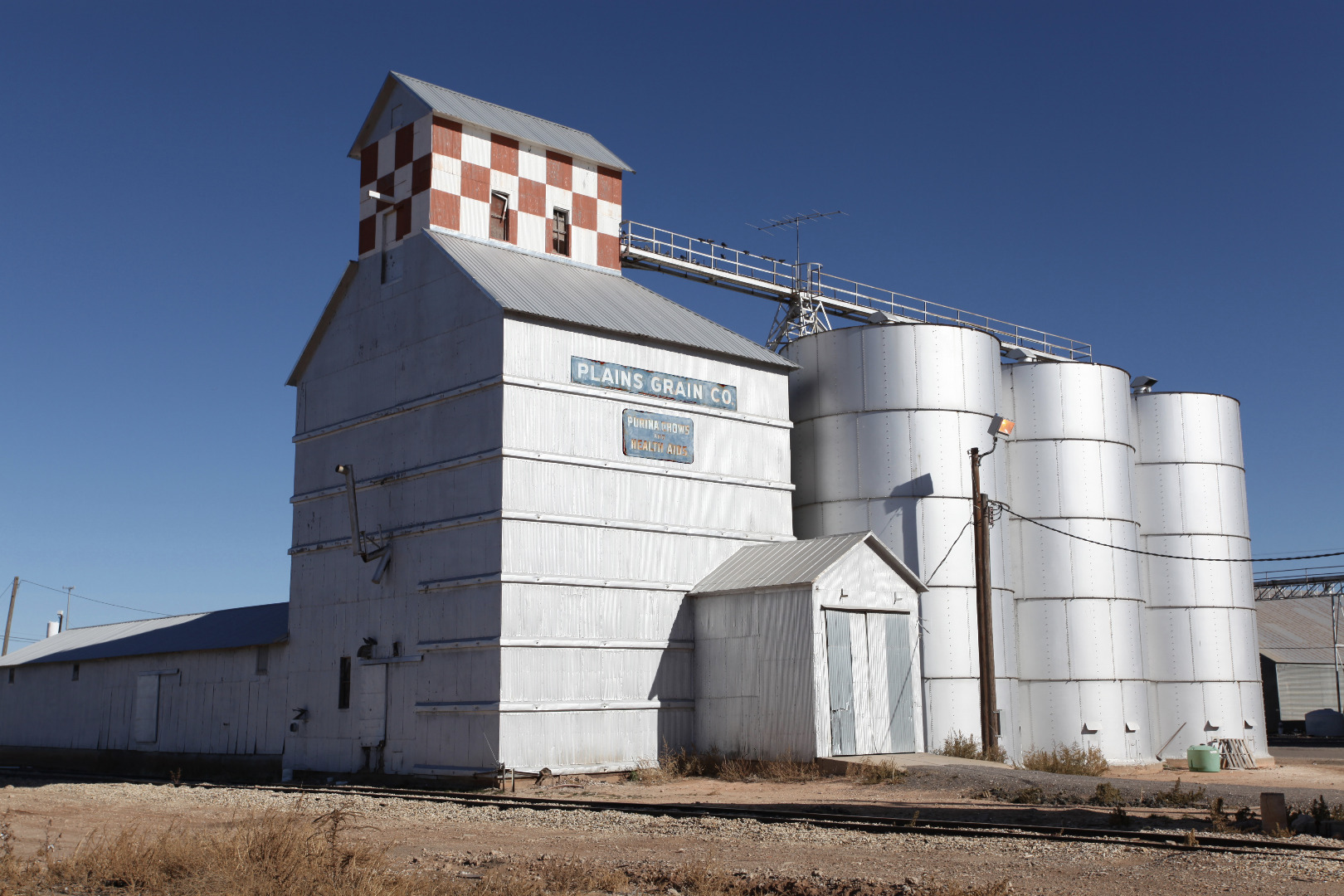 |
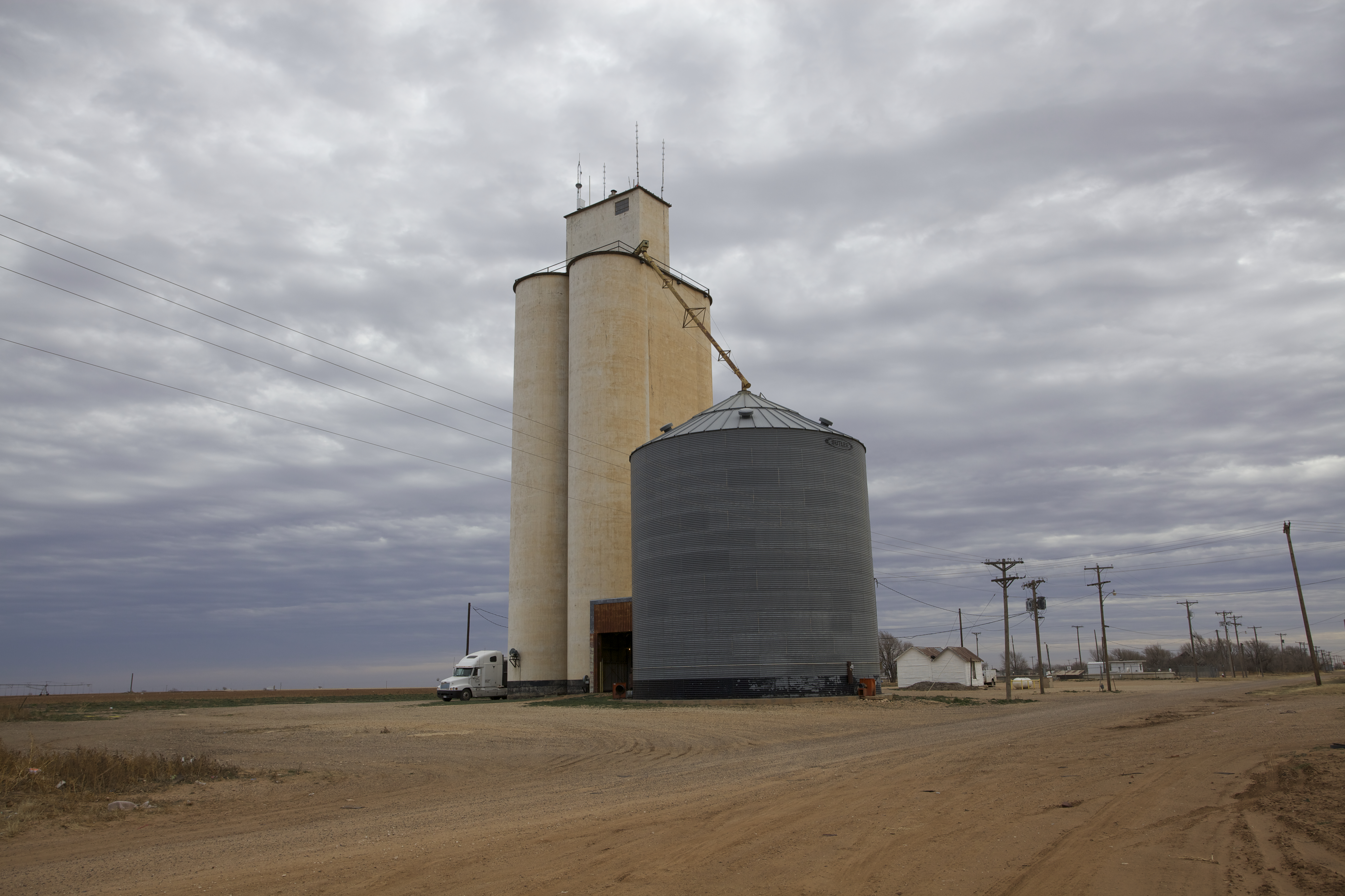
Plains Grain, Abernathy, Texas (December 2, 2010) |
 |
Water tank at Yellow House Ranch, Hockley County, Texas (February 9, 2018) |
 |
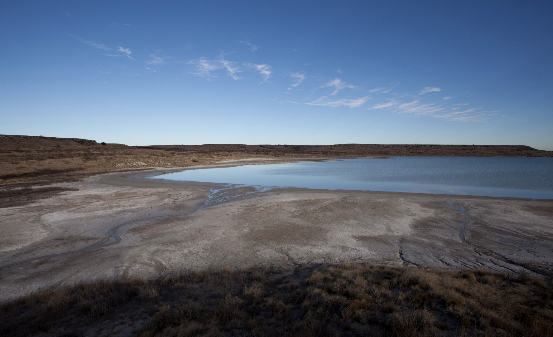
Monument Lake in Bailey County, Texas (February 17, 2017) |
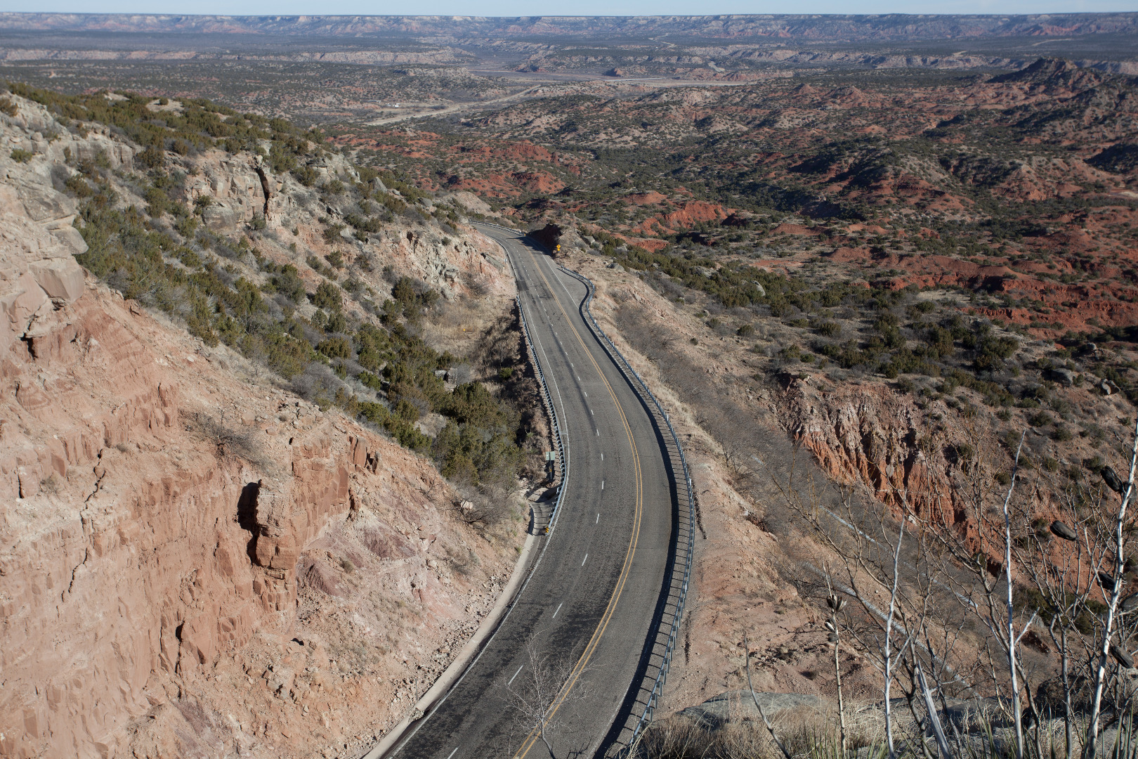 |
Texas State Highway 207 passing through Palo Duro Canyon, Armstrong County, Texas (December 21, 2001) |
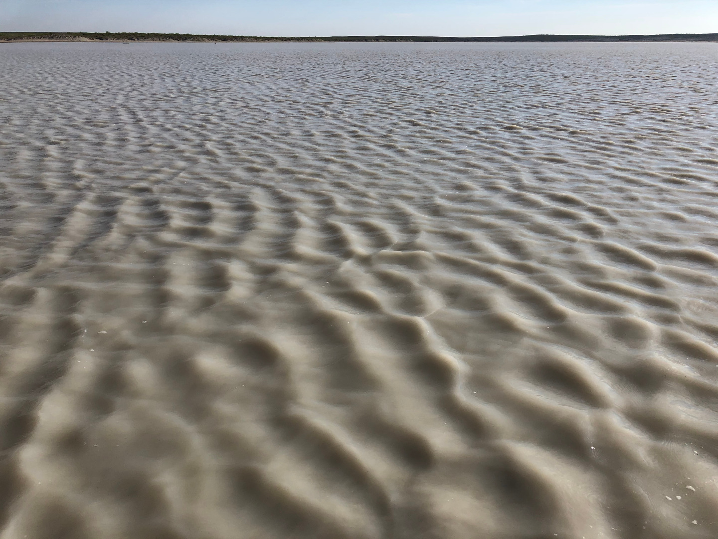 |
Capillary waves at Yellow Lake |
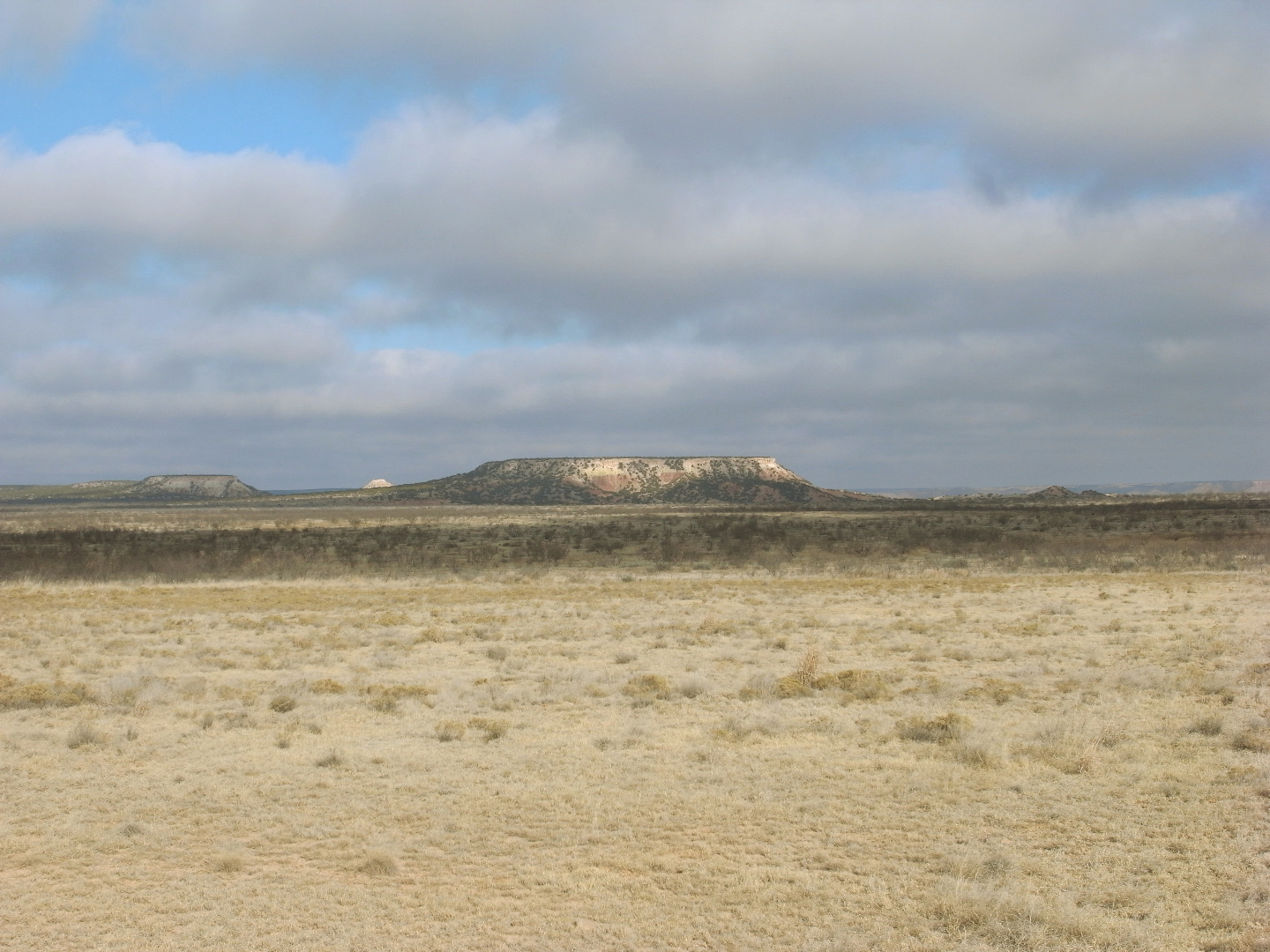 |
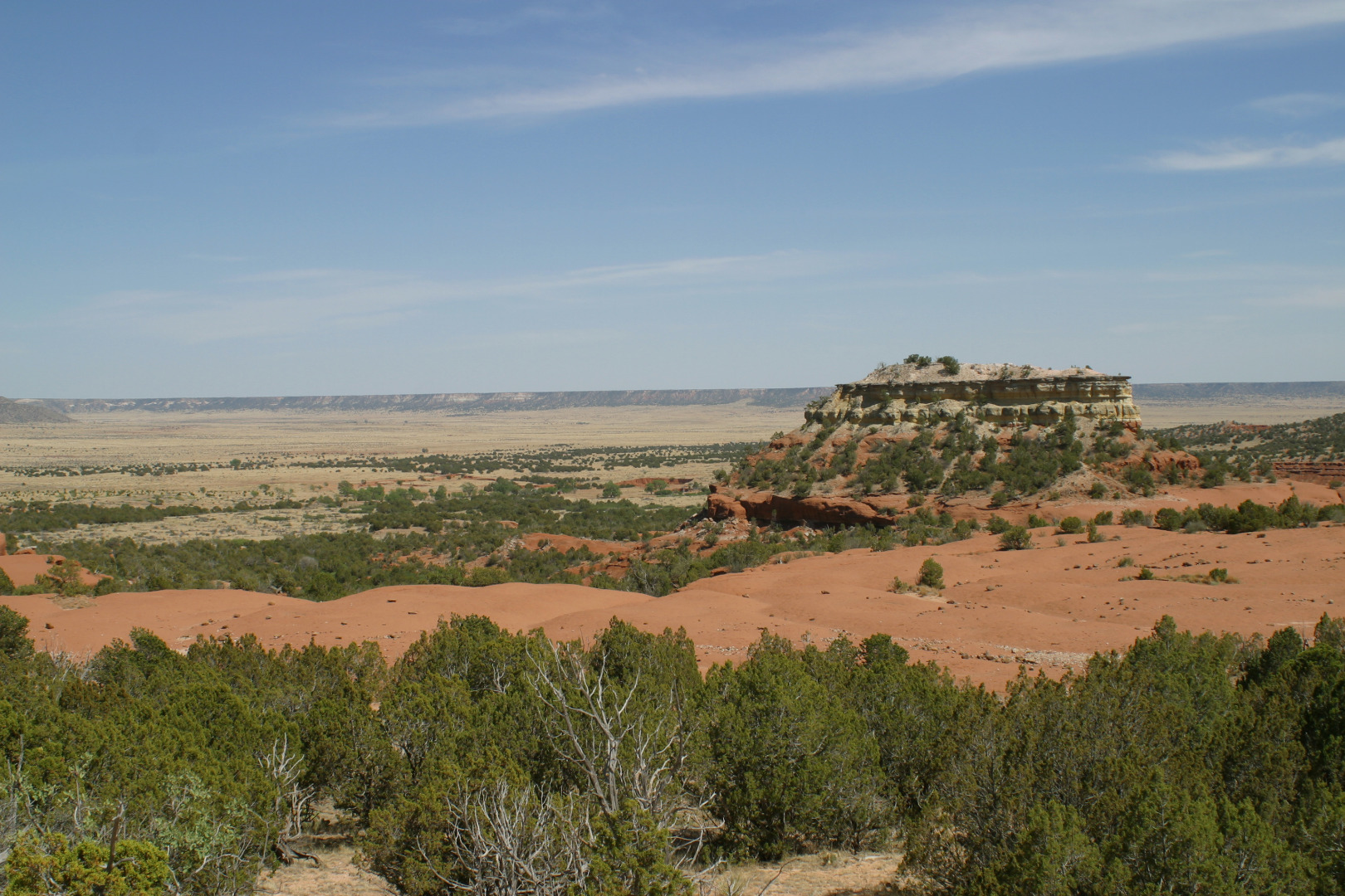
Erosional remnant of the Llano Estacado in Garza County, Texas |
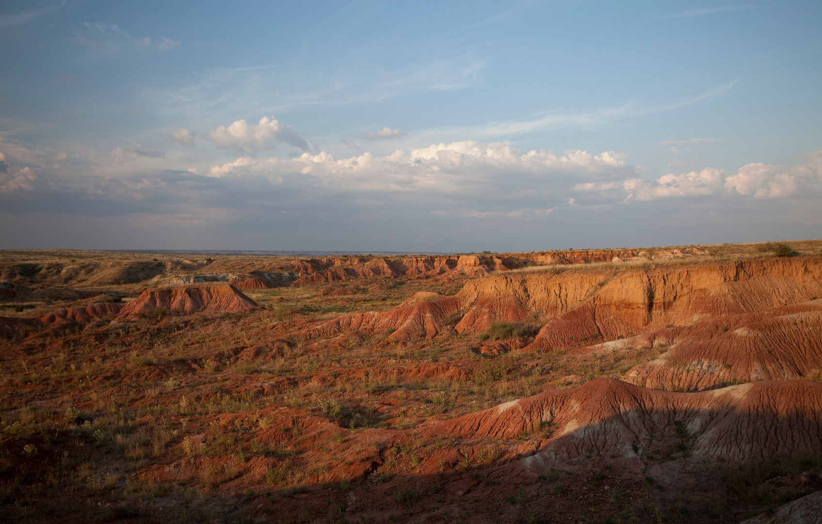 |
Red Hollow, Garza County, Texas |
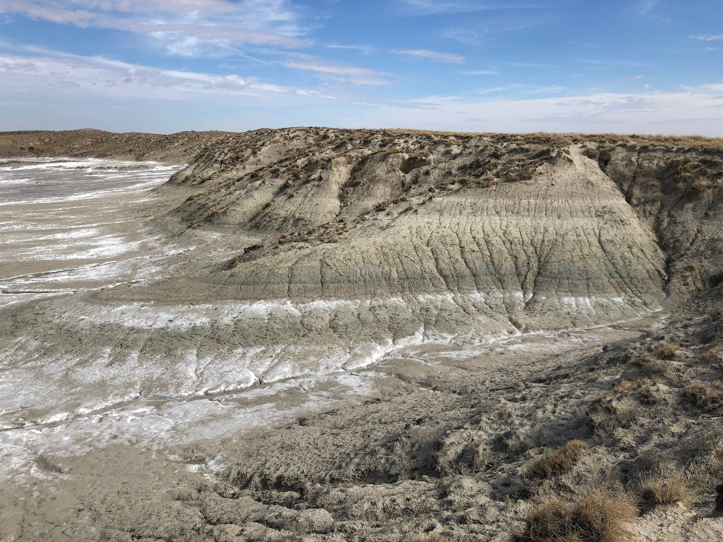 |
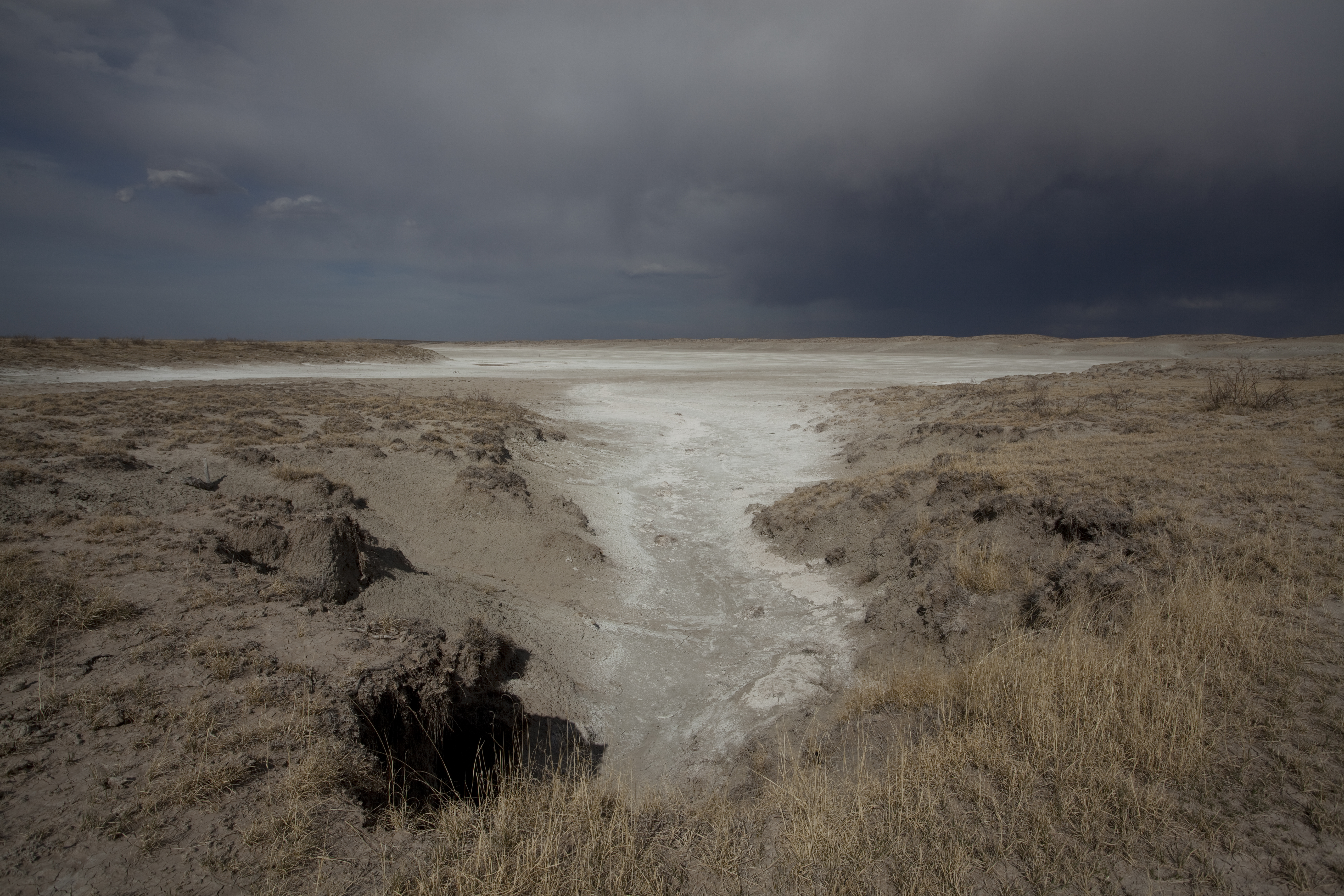
Buried soils in clay dunes at Yellow Lake, Texas |
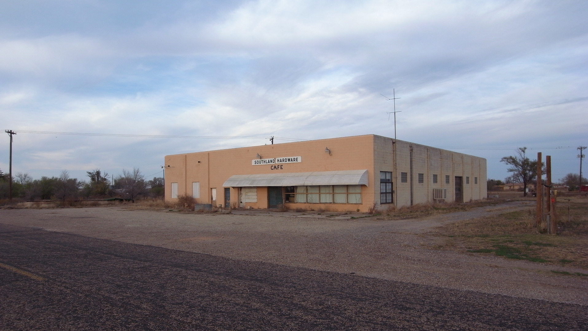 |
Cafe and hardware store in Southland, Texas |
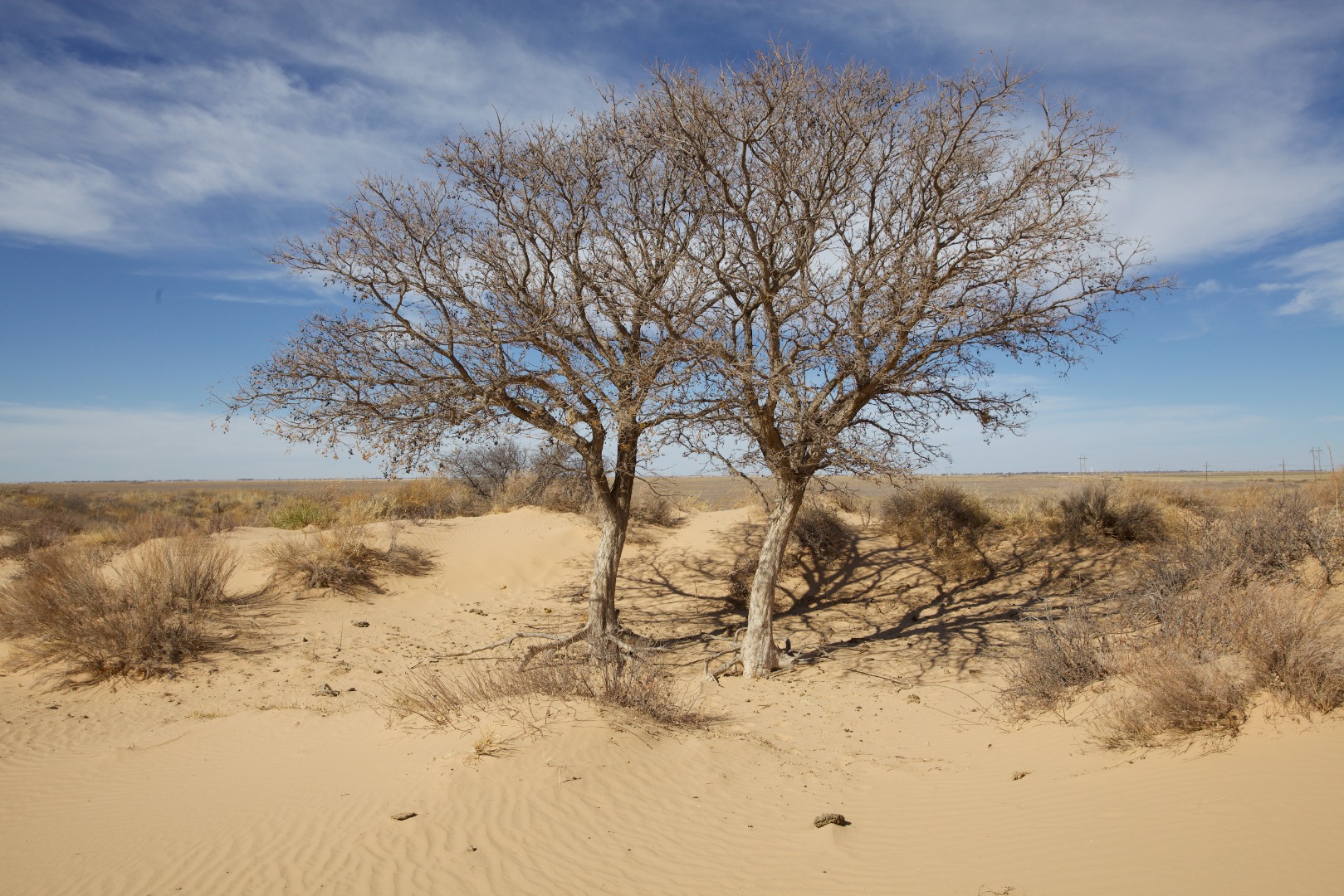 |
Two trees in the Muleshoe Dunes, Bailey County, Texas |
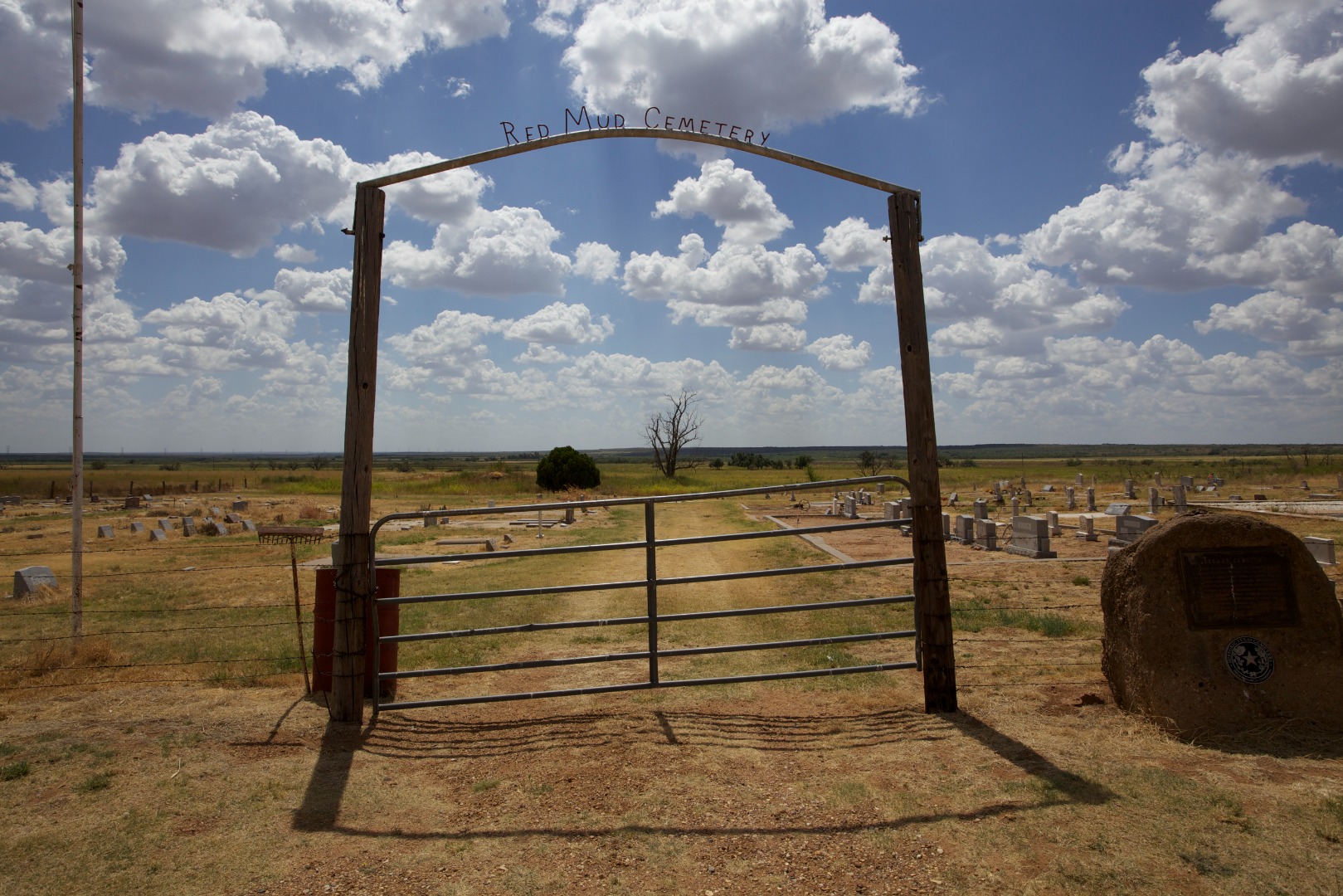 |
Cemetery near the community of Red Mud, Texas |
Photos are public domain images provided by an employee of the USDA-Agricultural Research Service. If you use any of these photos in a publication, on a web site, or as part of any other project, please credit the USDA-Agricultural Research Service. These photos may not be used to infer or imply ARS endorsement of any product, company, or position.