
| Photos of the Rolling Plains of Texas and Oklahoma |

|
Photos of the Rolling Plains of Texas and Oklahoma
John E. Stout, USDA-ARS, Lubbock, Texas
The Rolling Plains are located to the east of the high plains of the Llano Estacado of North America. This sparsely populated region is home to numerous cattle ranches where tributaries of the Red, Brazos and Colorado rivers wind their way through the red clay of the region.
Click on a photo to see a high-resolution image.
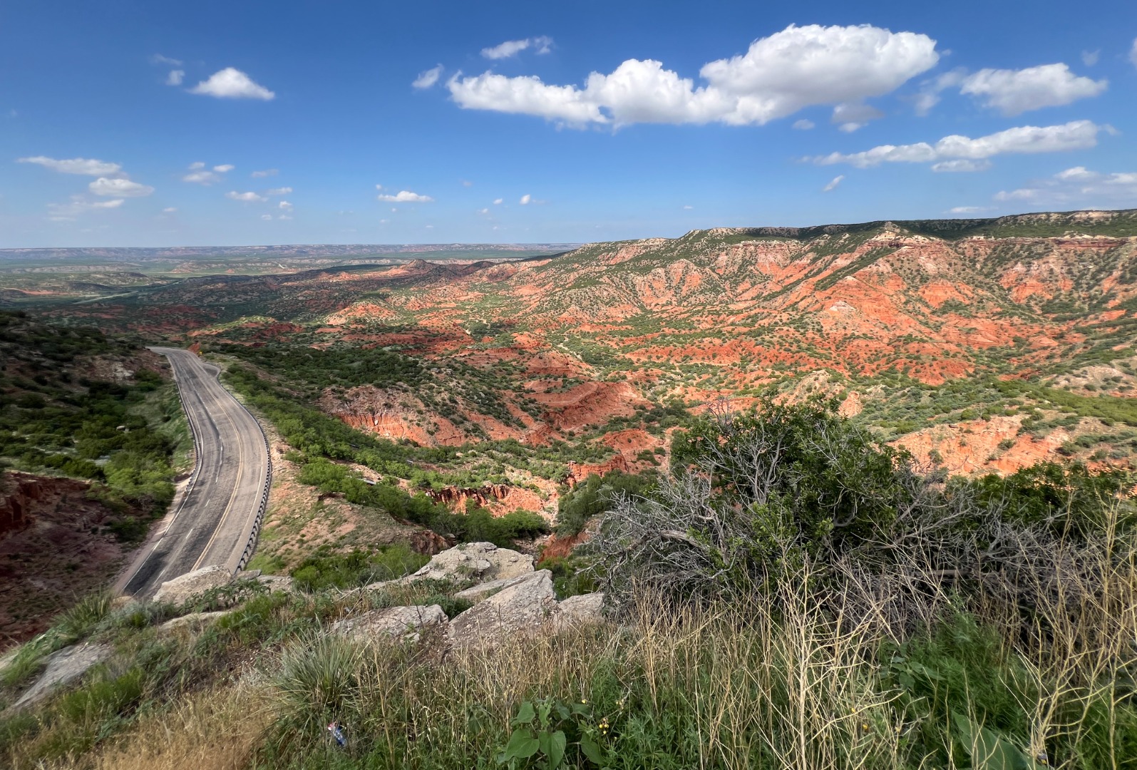 |
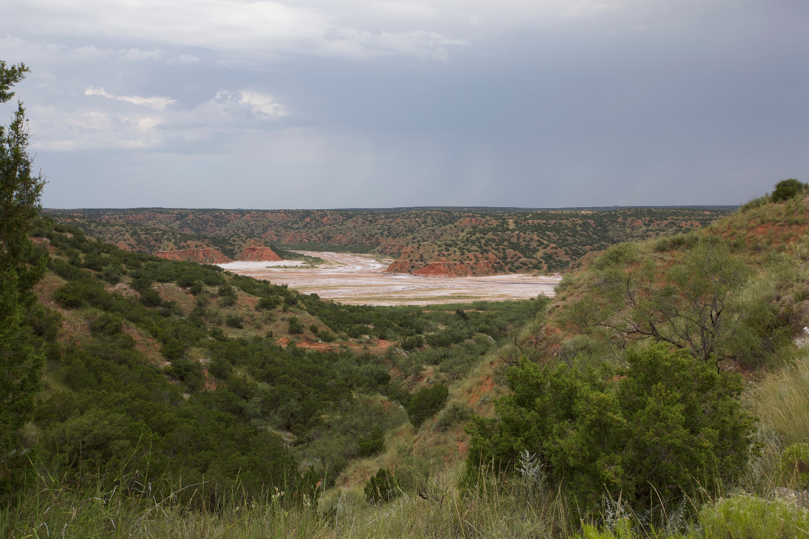
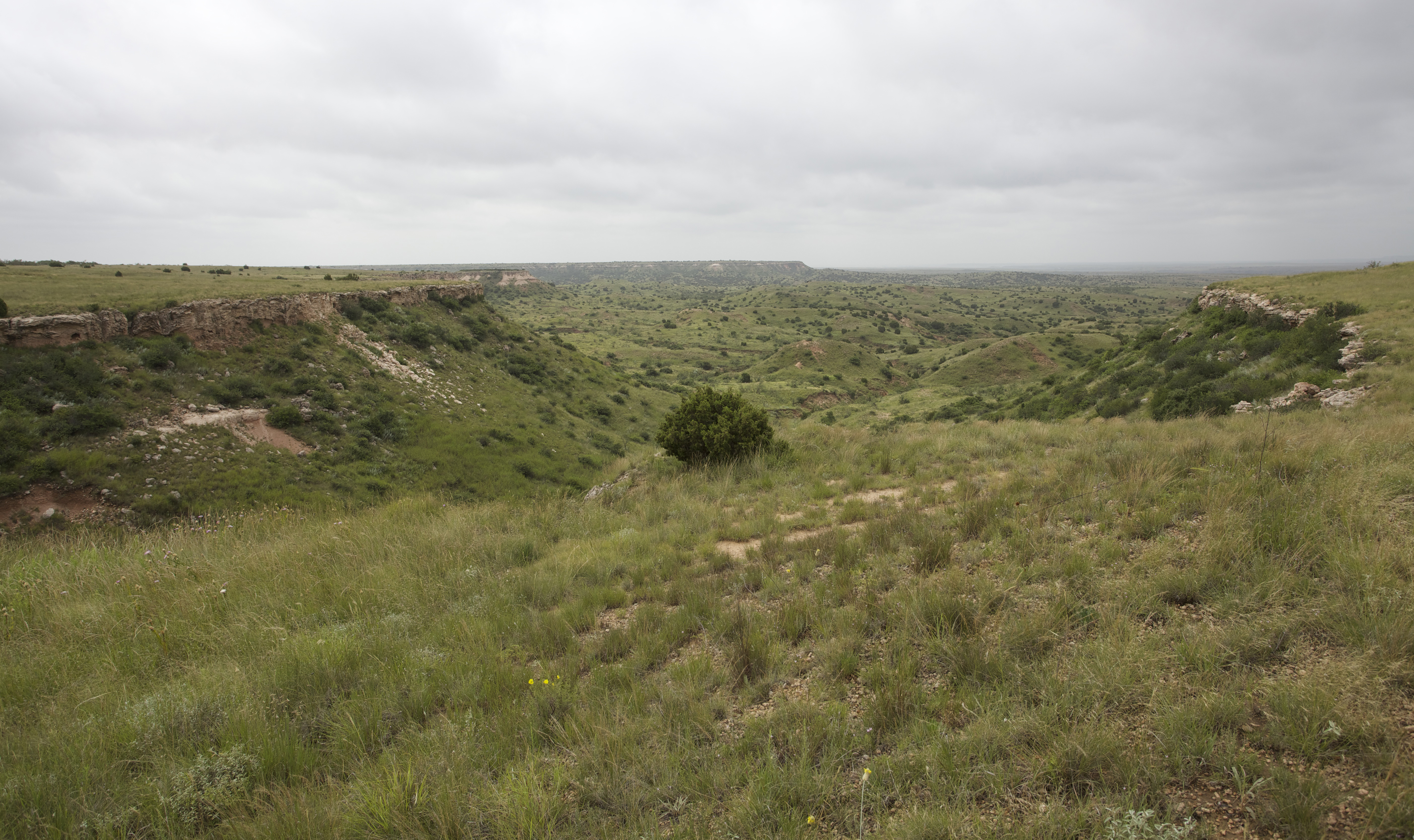
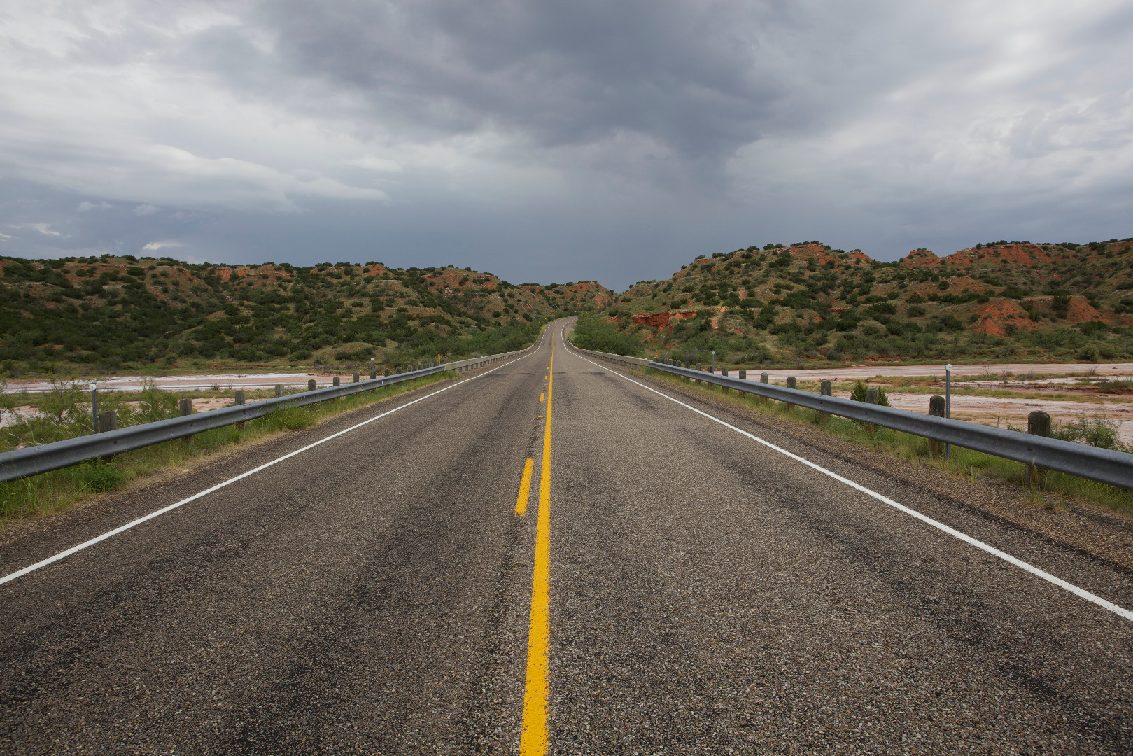
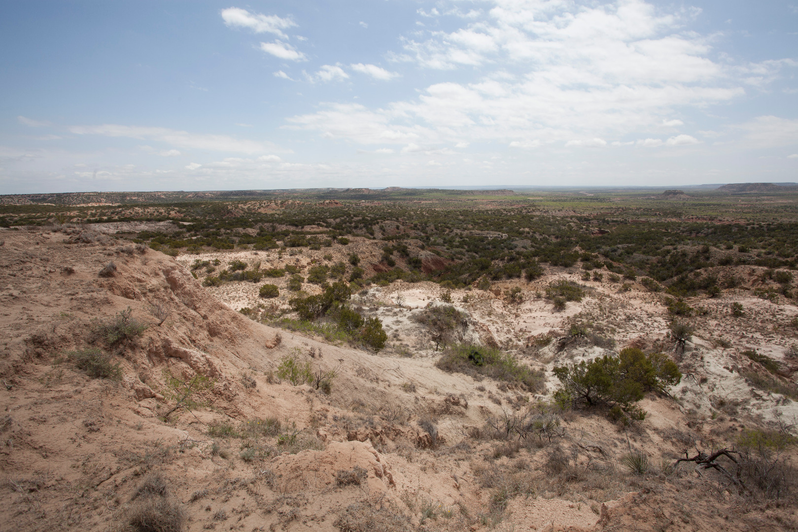
Palo Duro Canyon (30 May 2024) |
 |
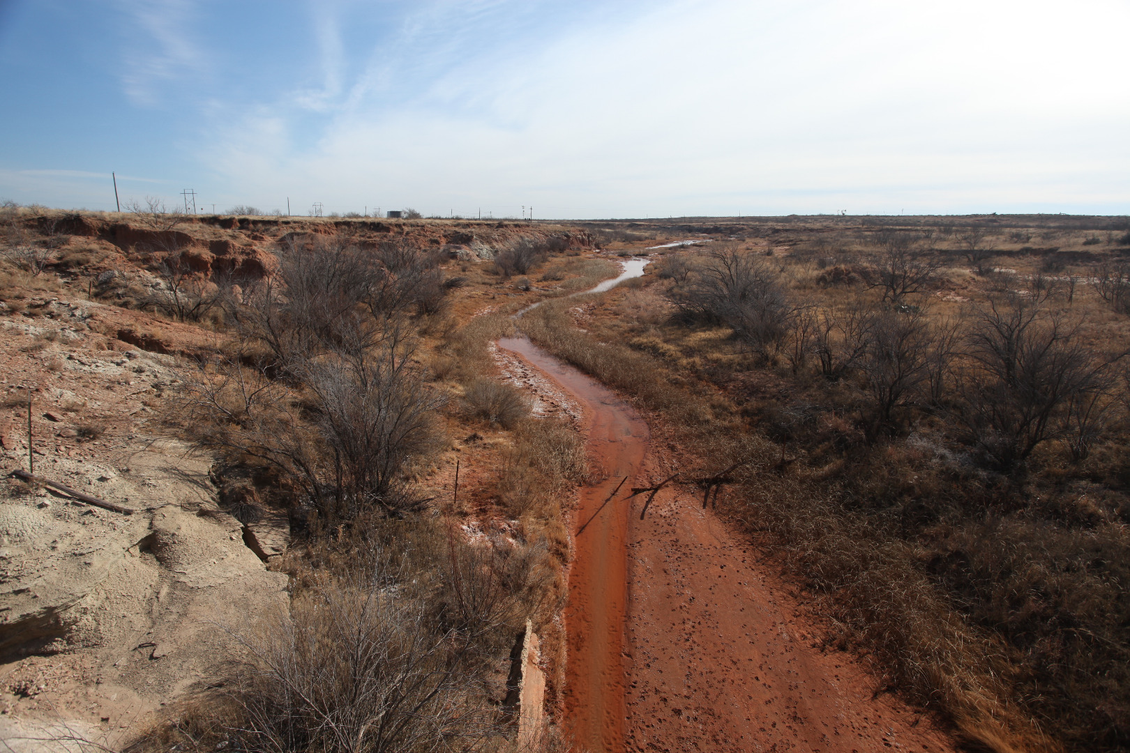
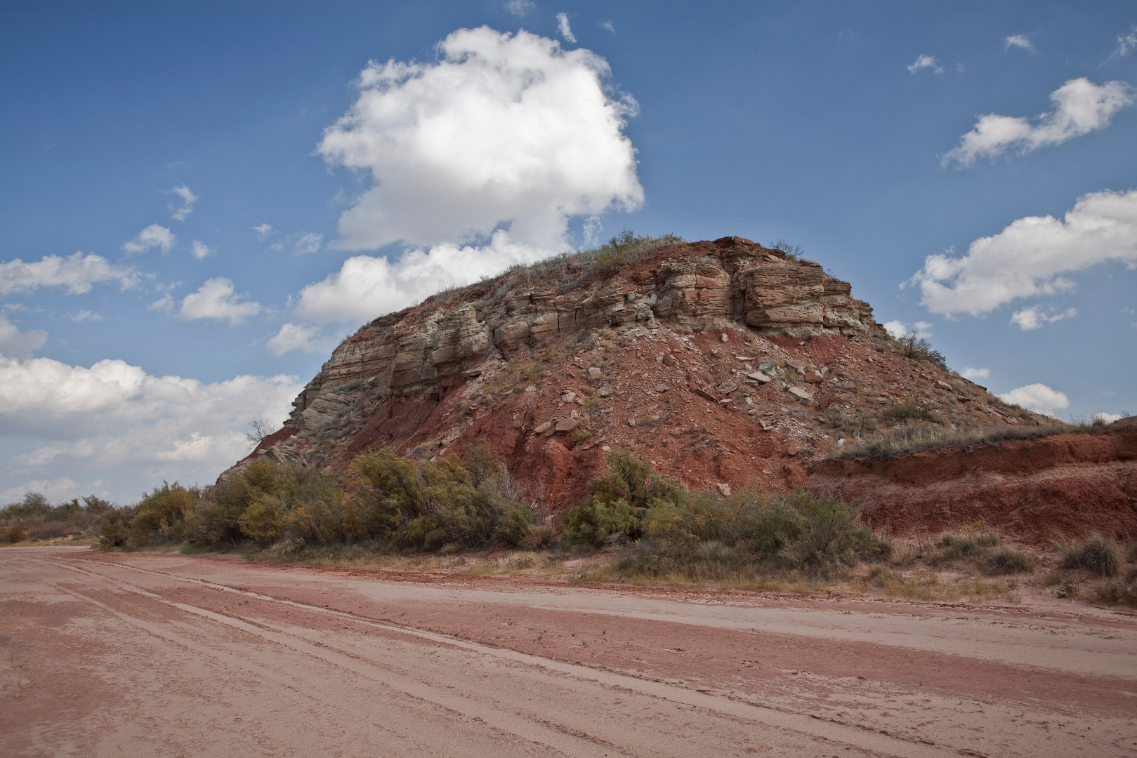
Isolated butte in the valley of the Double Mountain Fork Brazos River, Garza County, TX (December 21, 2023) |
 |
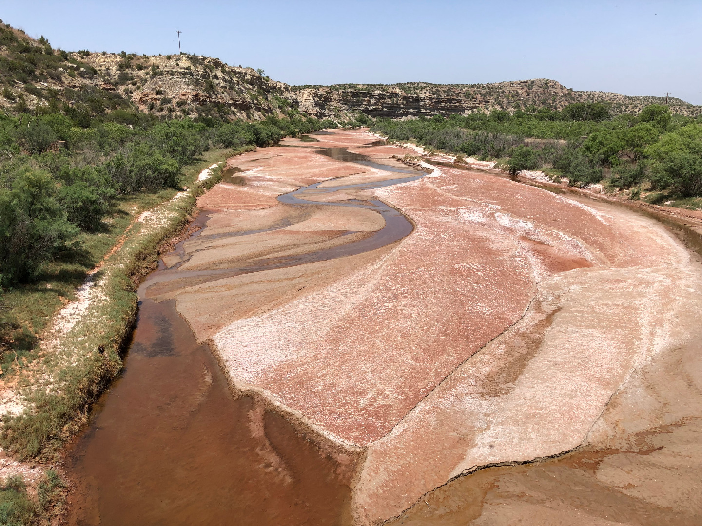
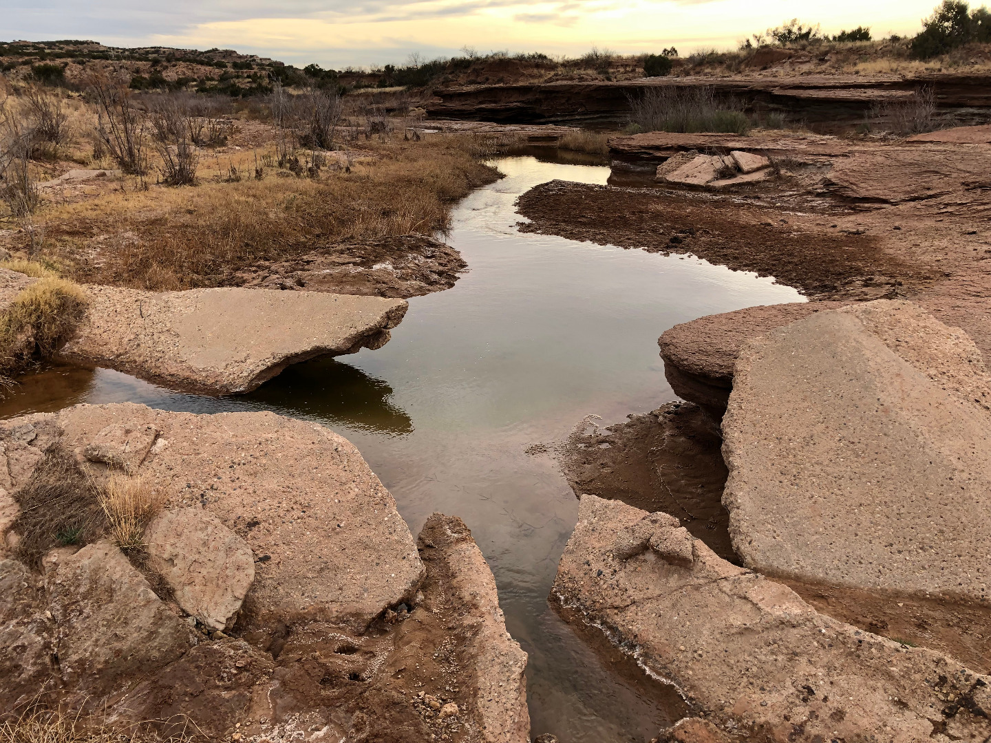
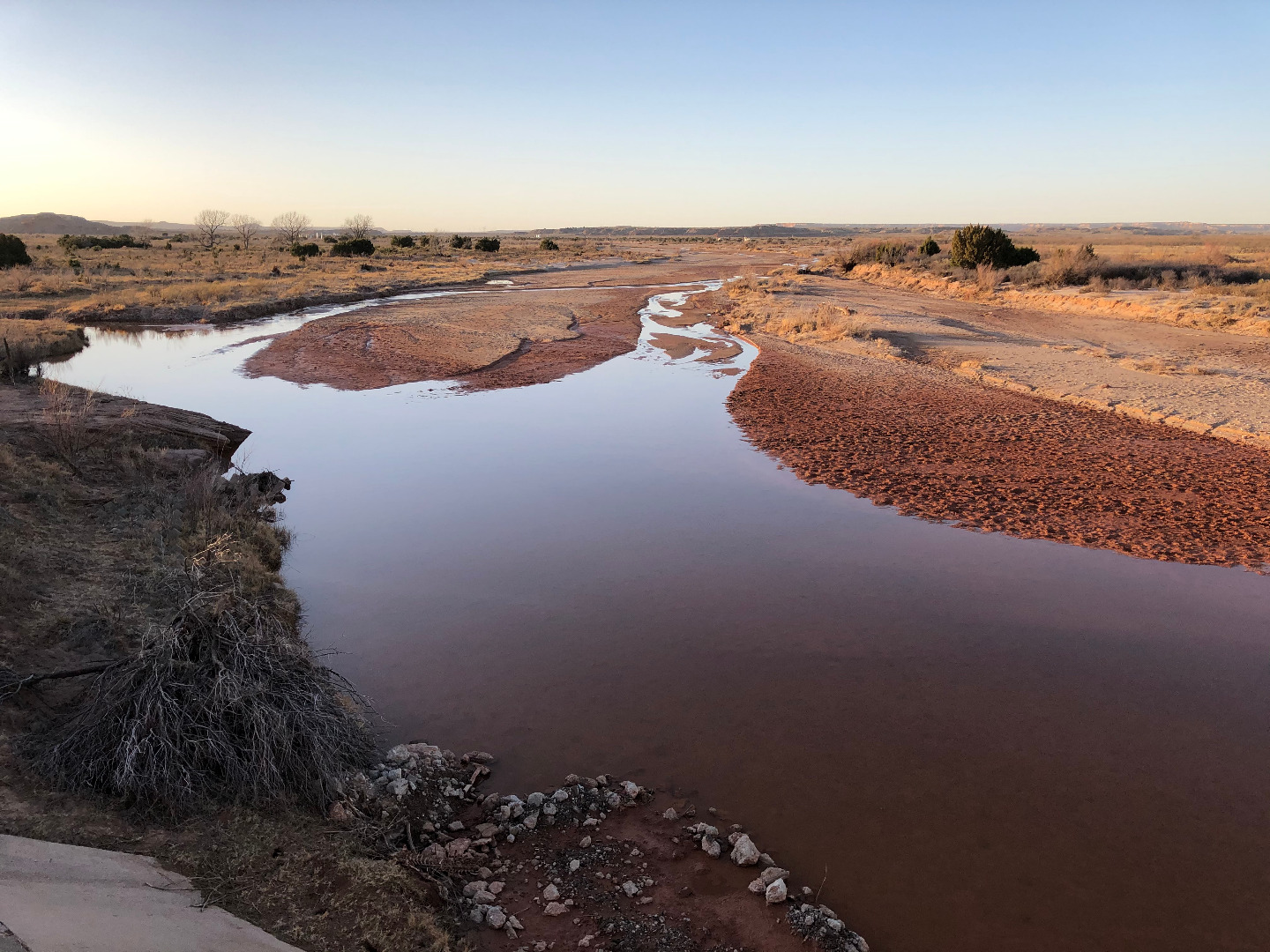
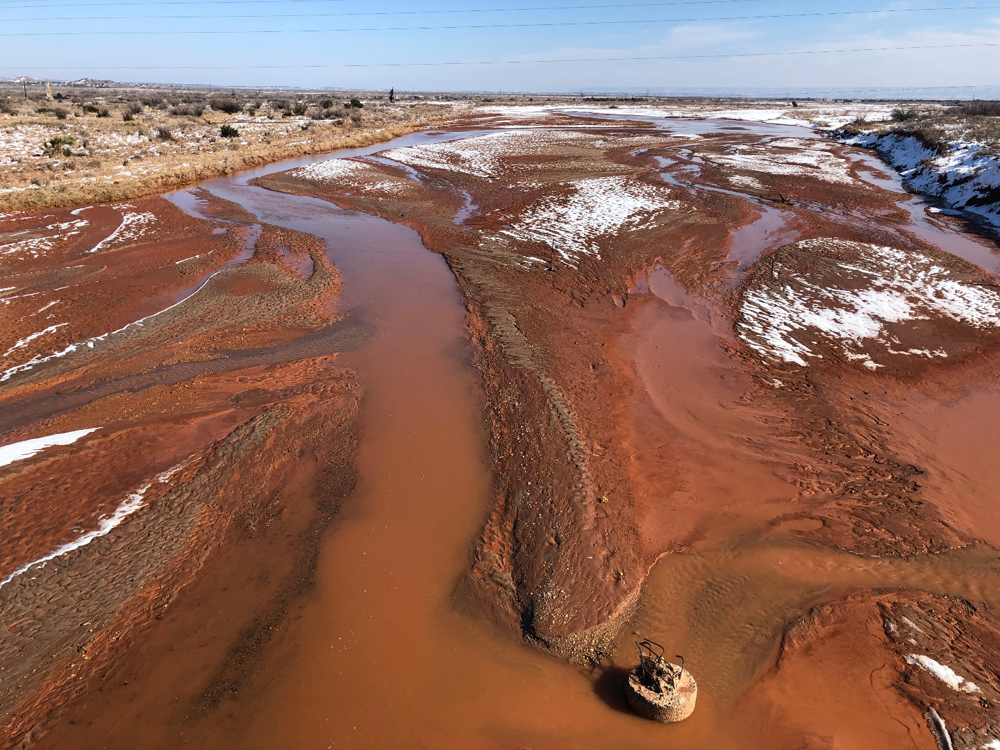
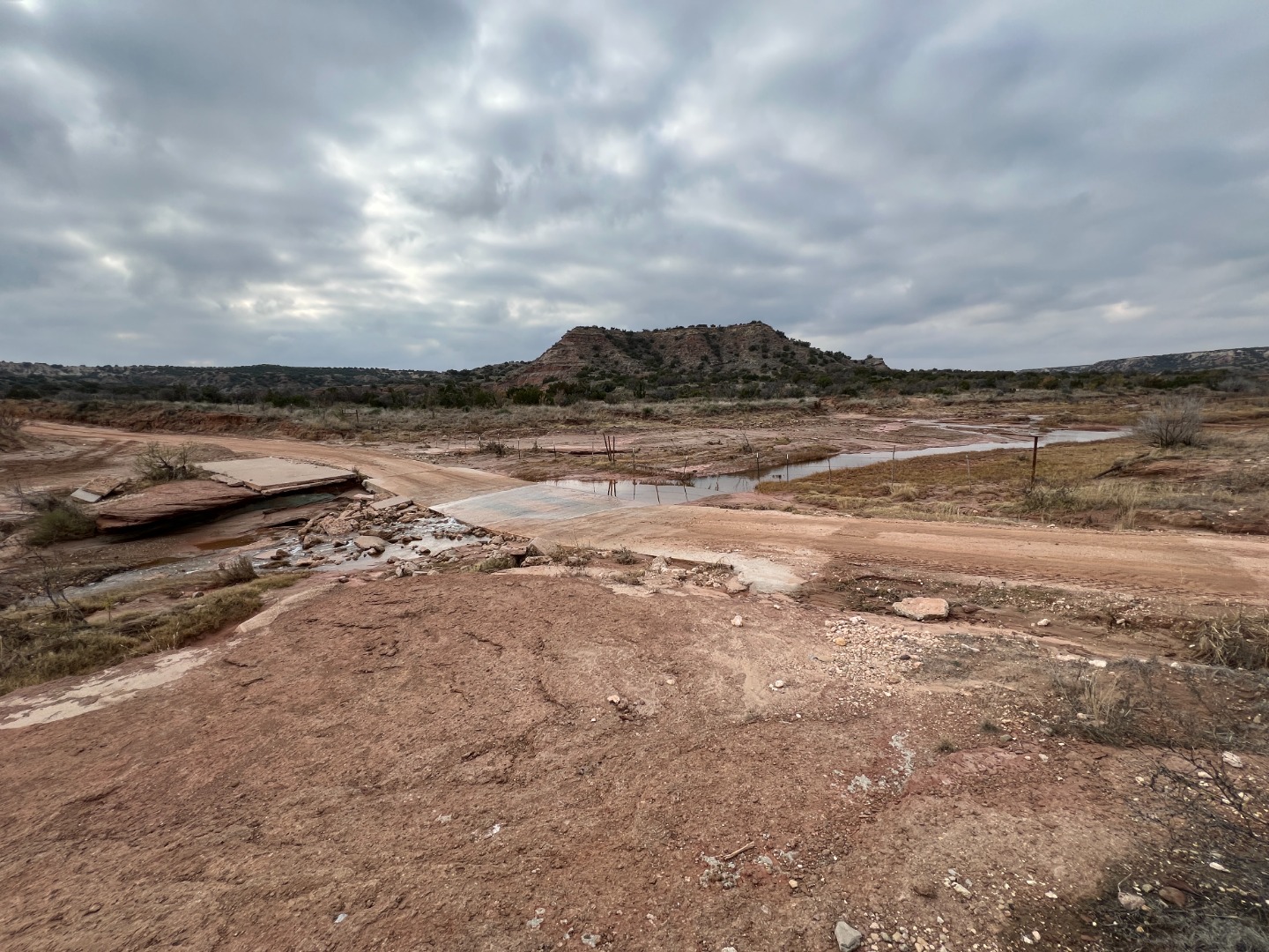
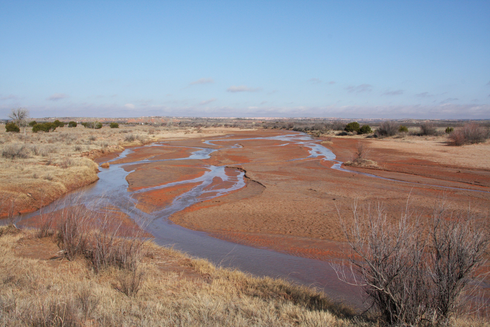
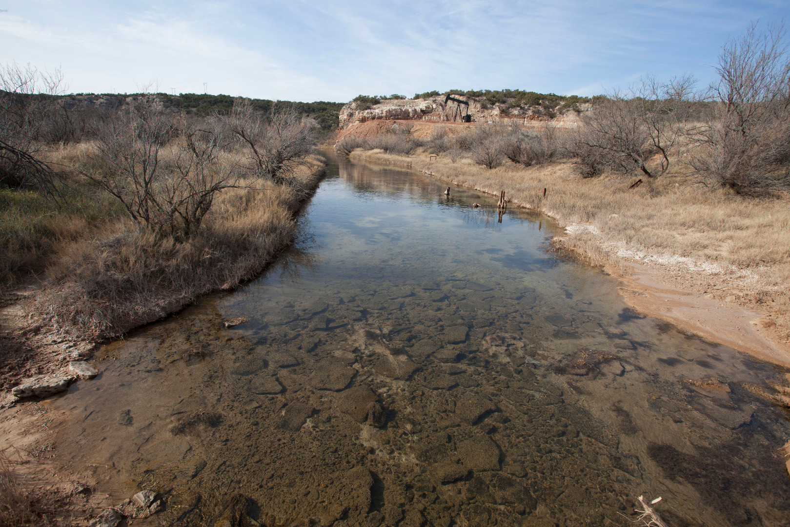
Salt Fork Brazos River at the FM 1263 crossing (September 18, 2023) |
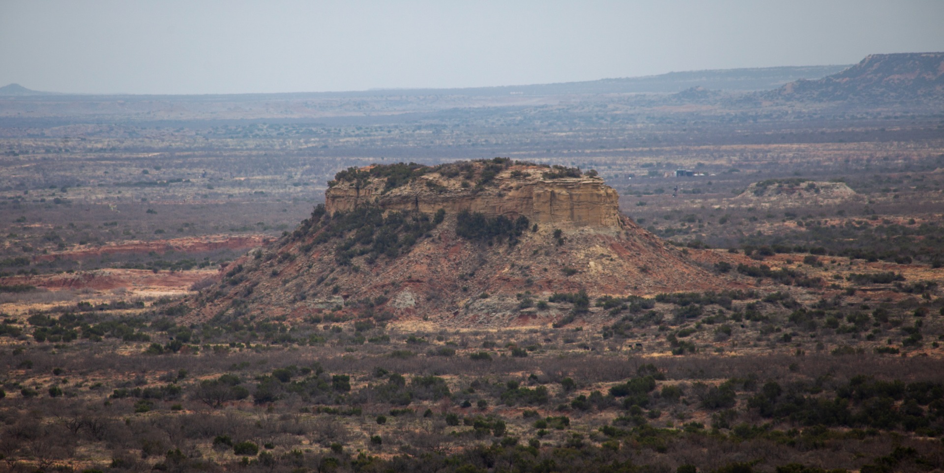 |
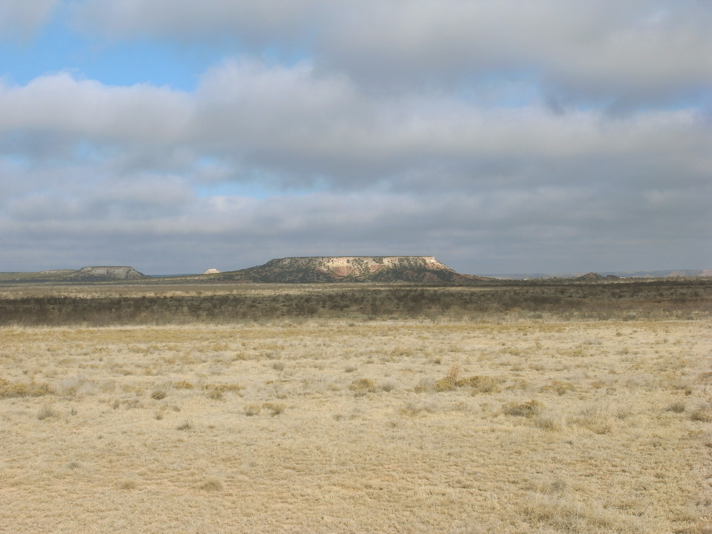
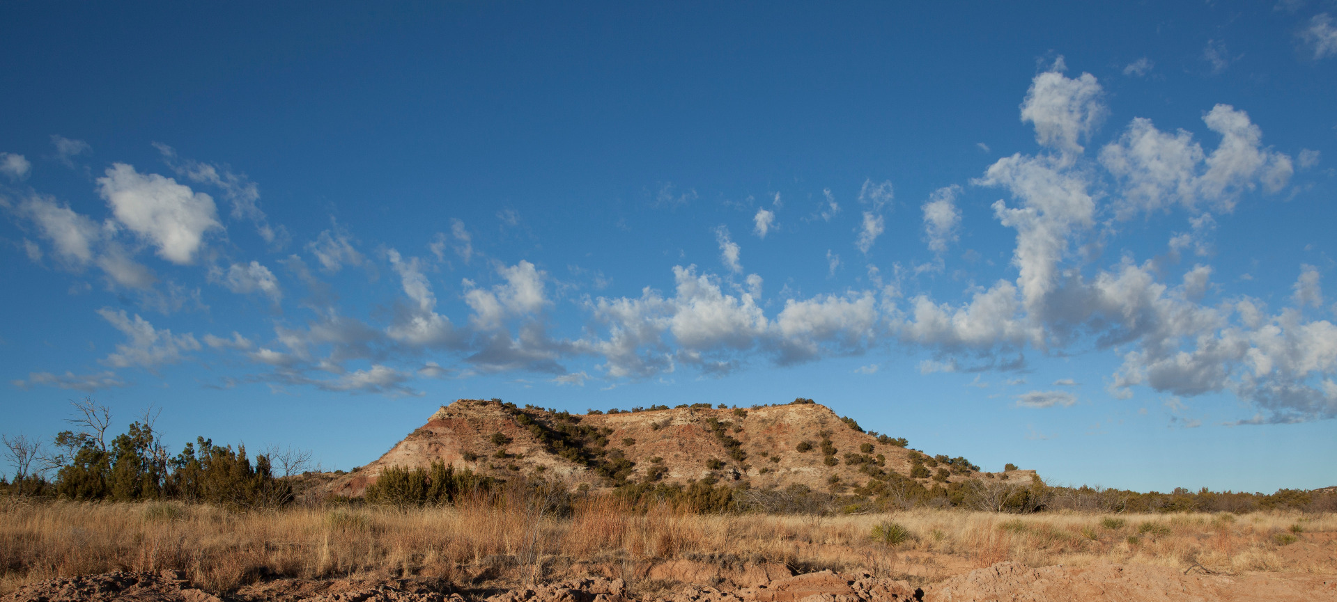
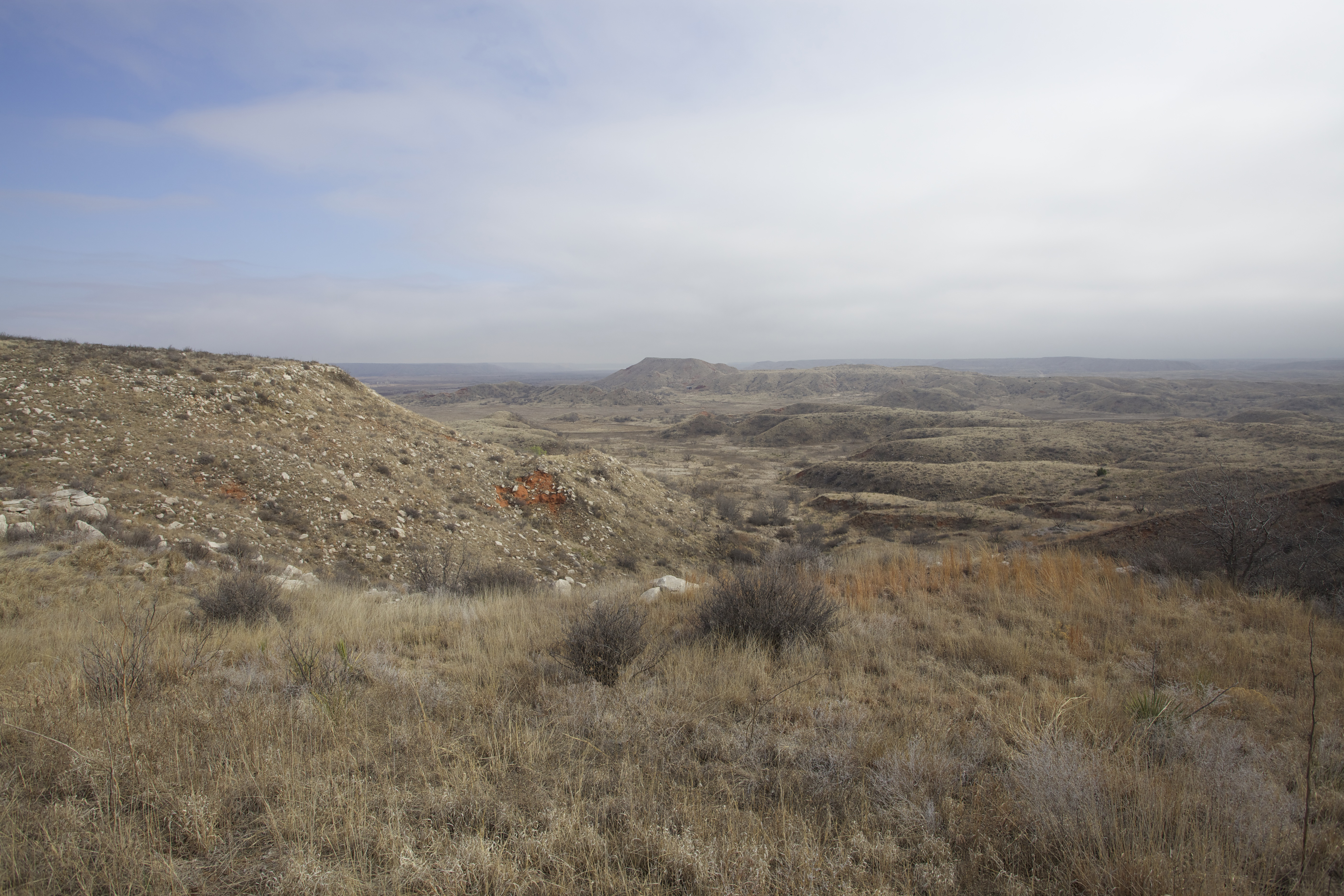
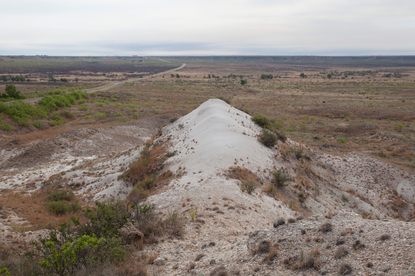
Cowhead Mesa in Garza County, Texas (February 24, 2023) |
 |
Upper Colorado River at FM 2835 crossing (December 6, 2022) |
 |
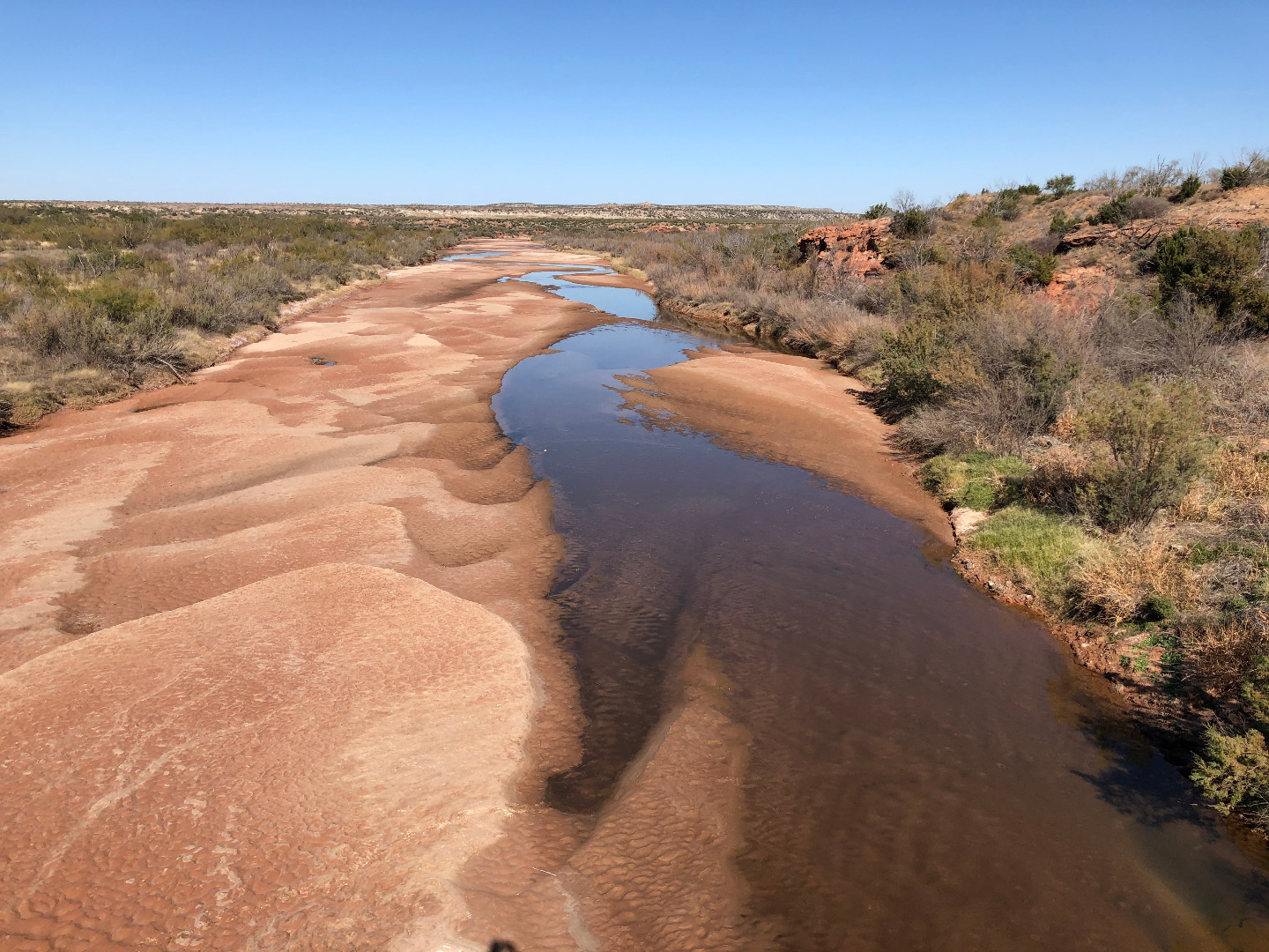
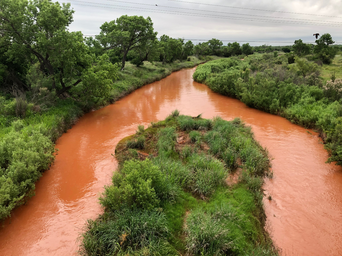
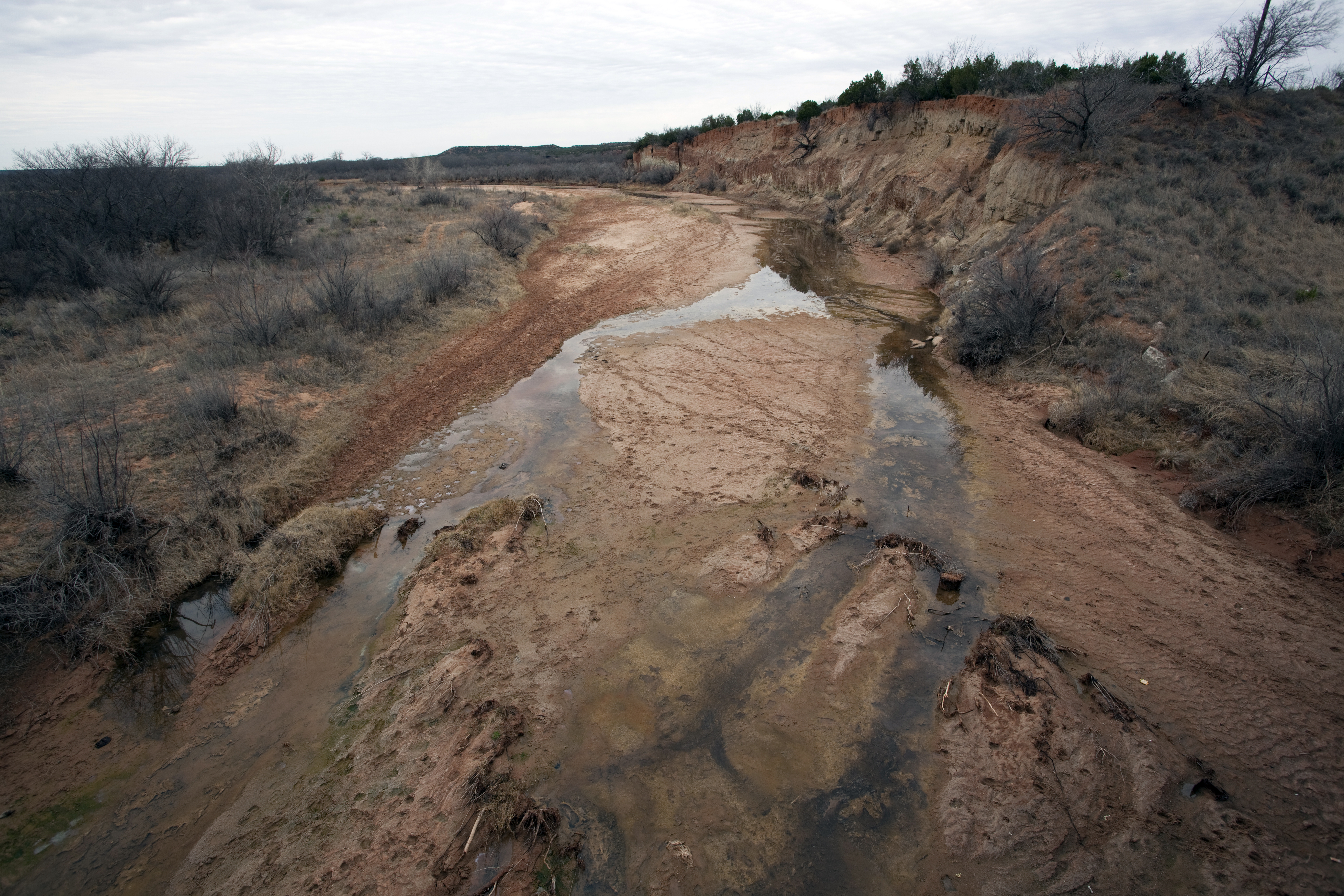
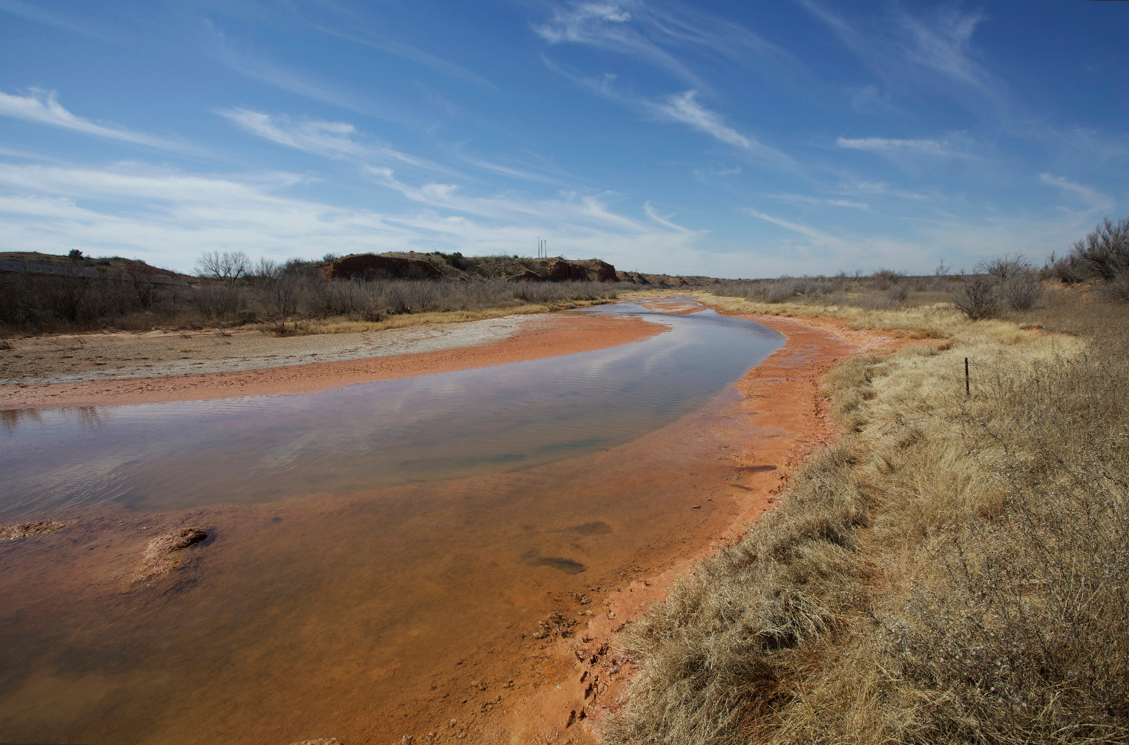
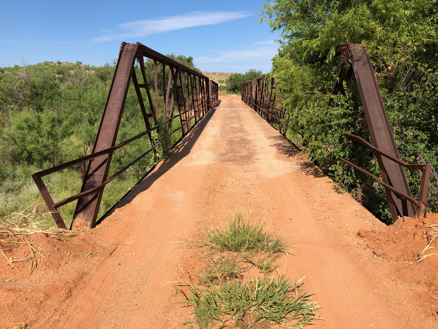
Salt Fork Brazos River at FM1835 crossing, Stonewall County, Texas (June 17, 2022) |
 |
Willow Valley Road crossing of the upper Colorado River south of Gail in Borden County, Texas (May 7, 2022) |
 |
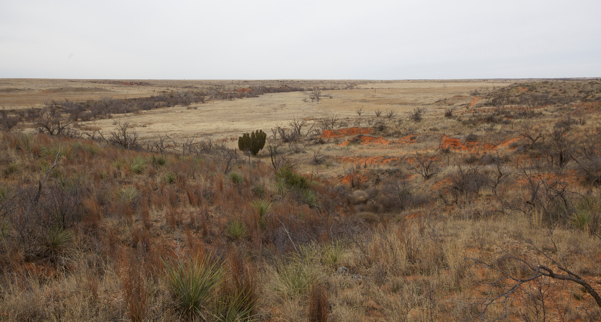
Distant mesa in the upper Brazos watershed of Garza County, Texas (January 13, 2010) |
 |
Croton Breaks to the east of Dickens, Texas (February 16, 2022) |
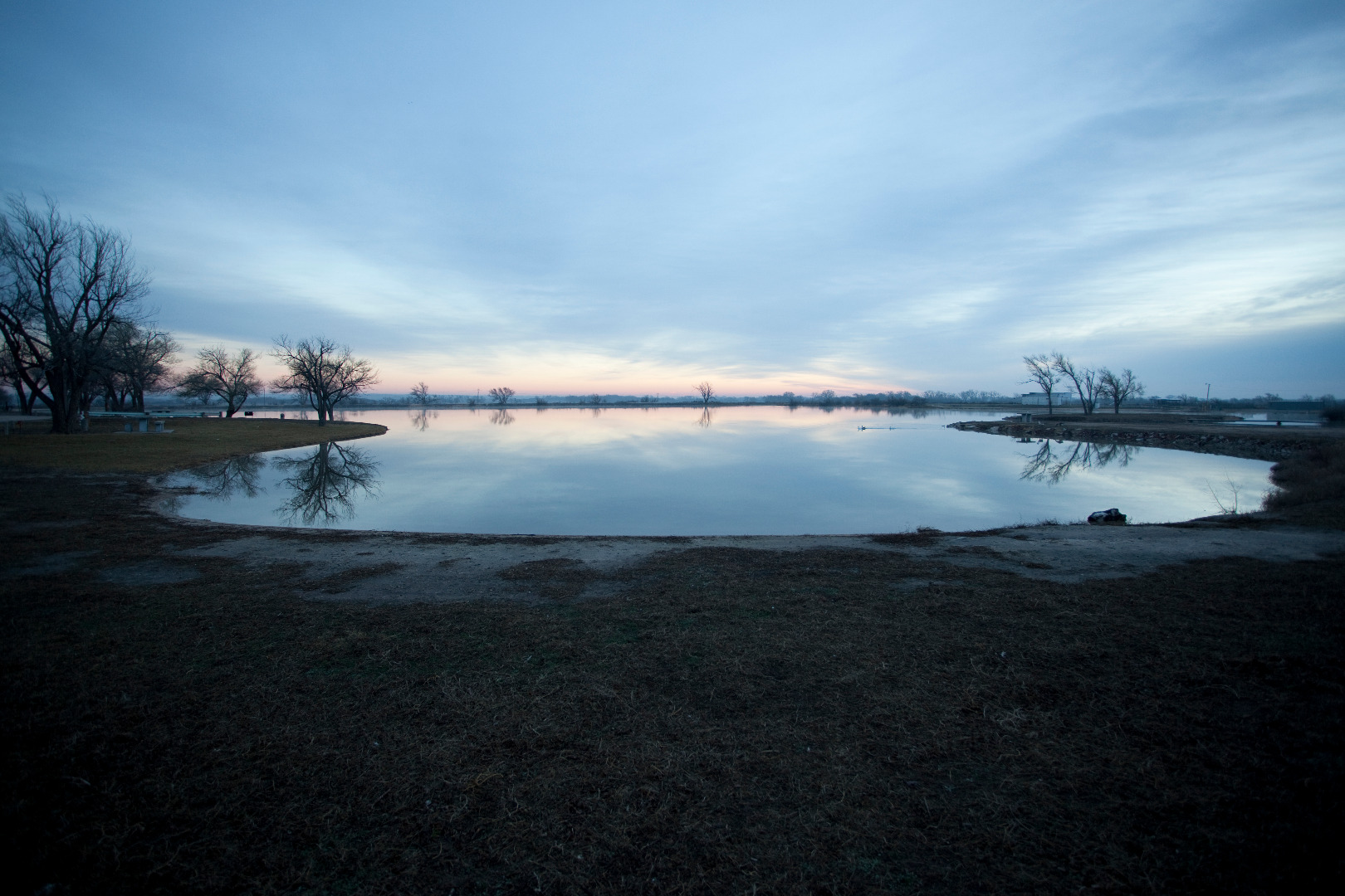 |
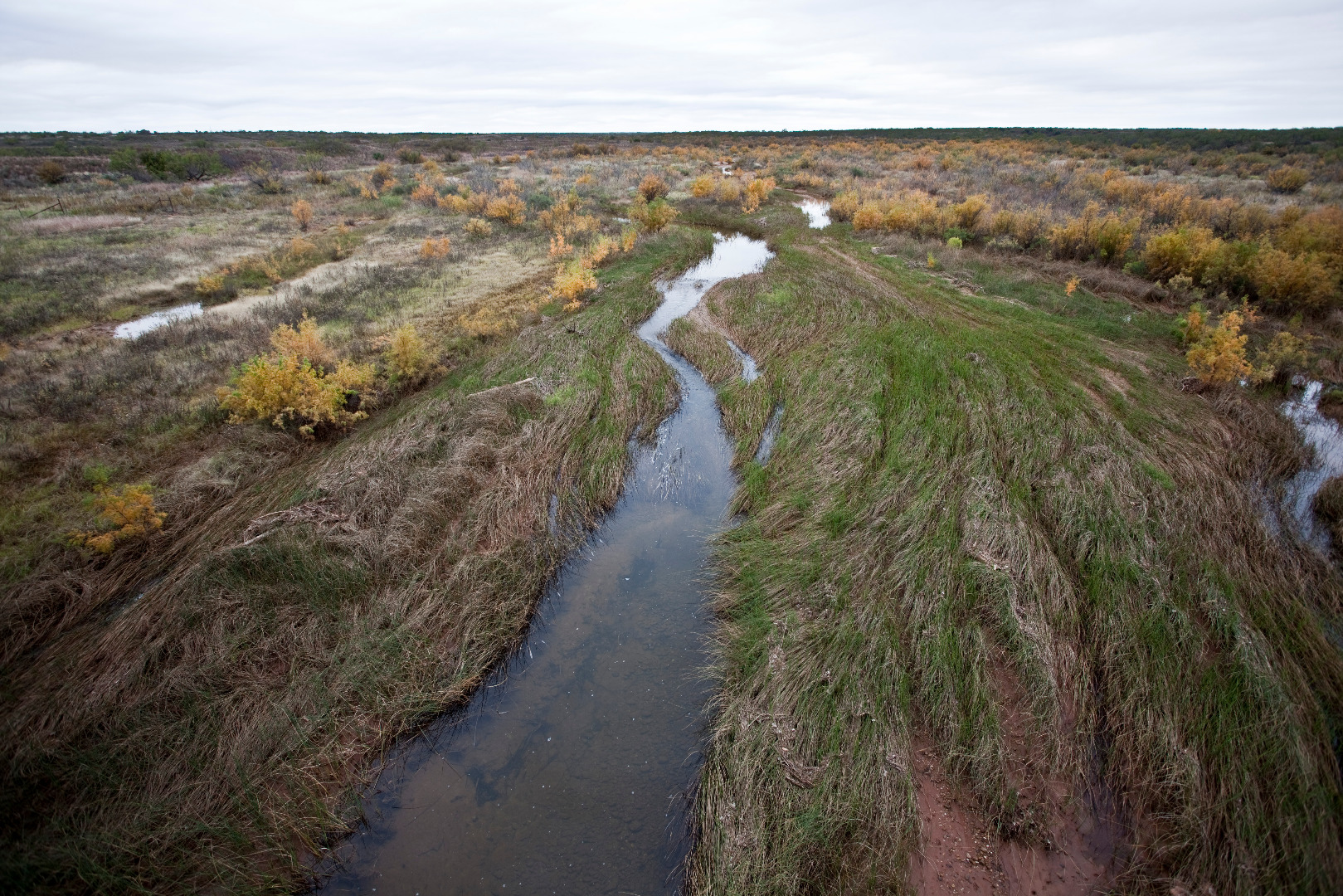
A clear, spring-fed lake at Artesian Beach Park in Gage, Oklahoma (March 21, 2015) |
 |
Isolated butte at the headwaters of the Double Mountain Fork Brazos River (December 29, 2021) |
 |
Salty valley of the Little Red River as seen from Texas State Highway 70 north of Turkey, Texas (10 August 2015). |
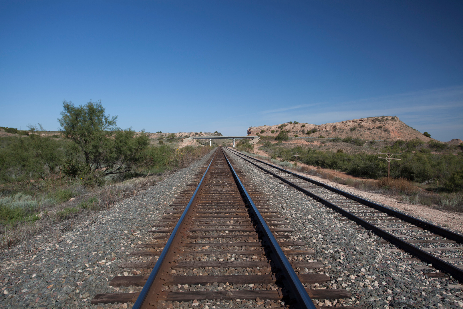 |
BNSF tracks climbing the Caprock escarpment near the ghost town of Buenos, Texas (8 October 2012). |
 |
Colorado River about 7 miles from its source along the eastern edge of the Llano Estacado as seen from FM 1054 north of Vealmoor, Texas (26 January 2011). |
 |
Yellow House Canyon near Slaton, Texas |
 |
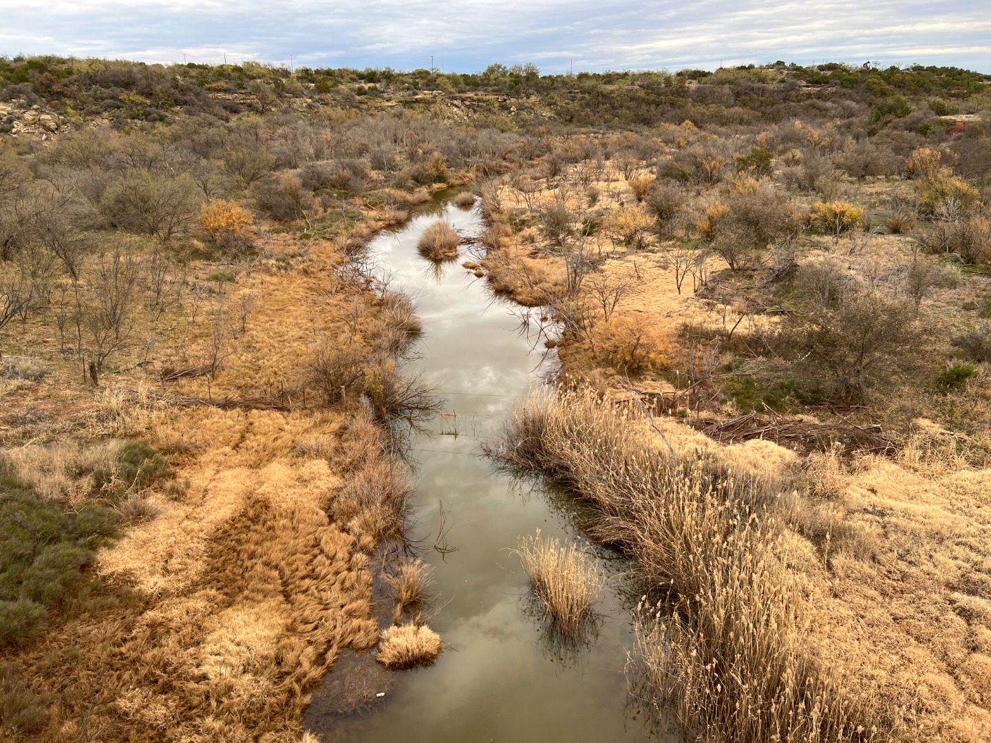
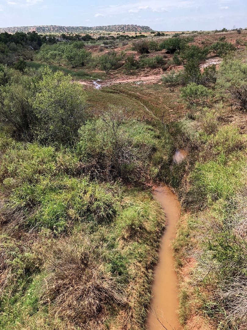
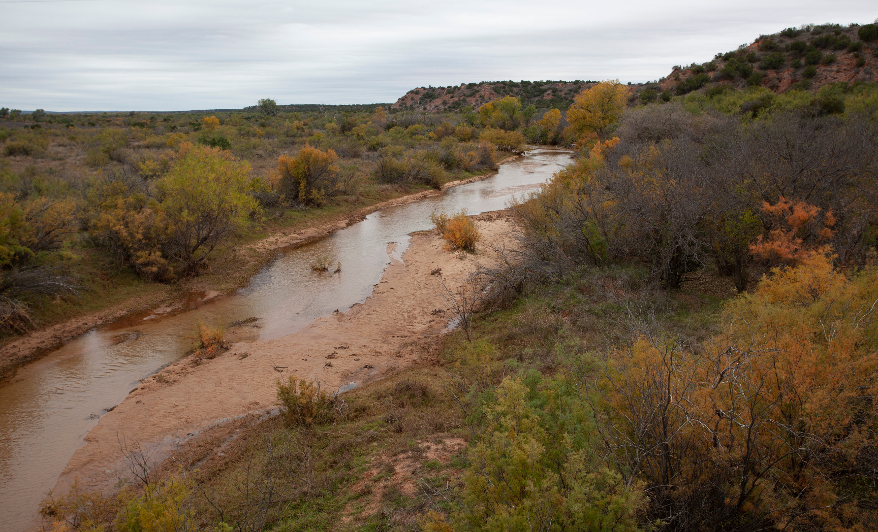
Double Mountain Fork Brazos River on Macy Ranch |
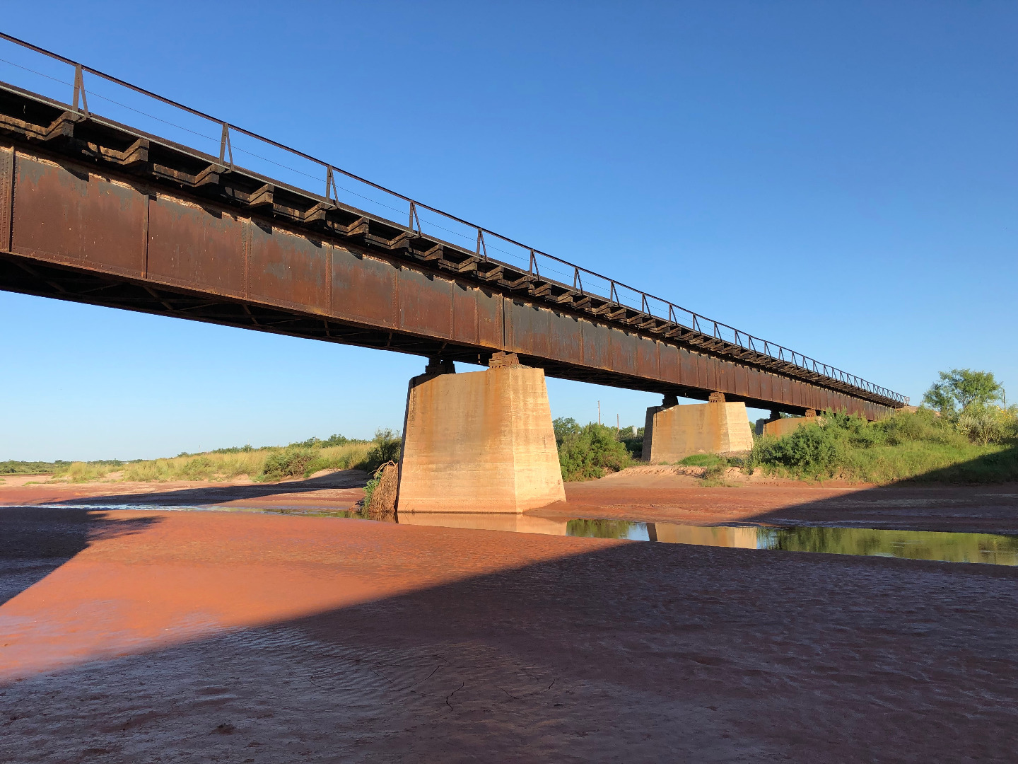 |
Railroad crossing of the Double Mountain Fork Brazos River near Justiceburg, Texas |
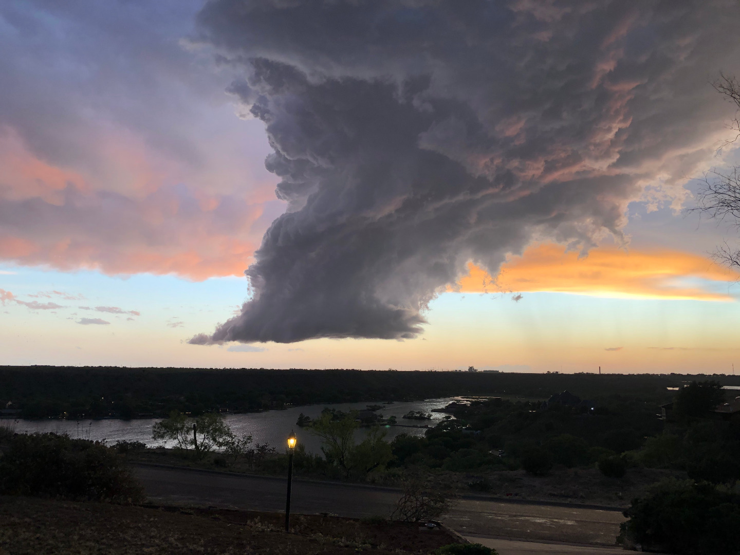 |
Storm above Ransom Canyon, Texas |
 |
Double Mountain Fork Brazos River in Garza County, Texas |
 |
Soldier Mound near Spur, Texas |
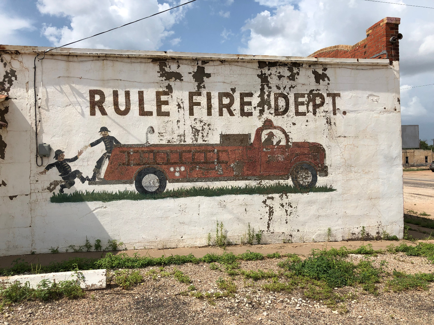 |
Fire department in Rule, Texas |
 |
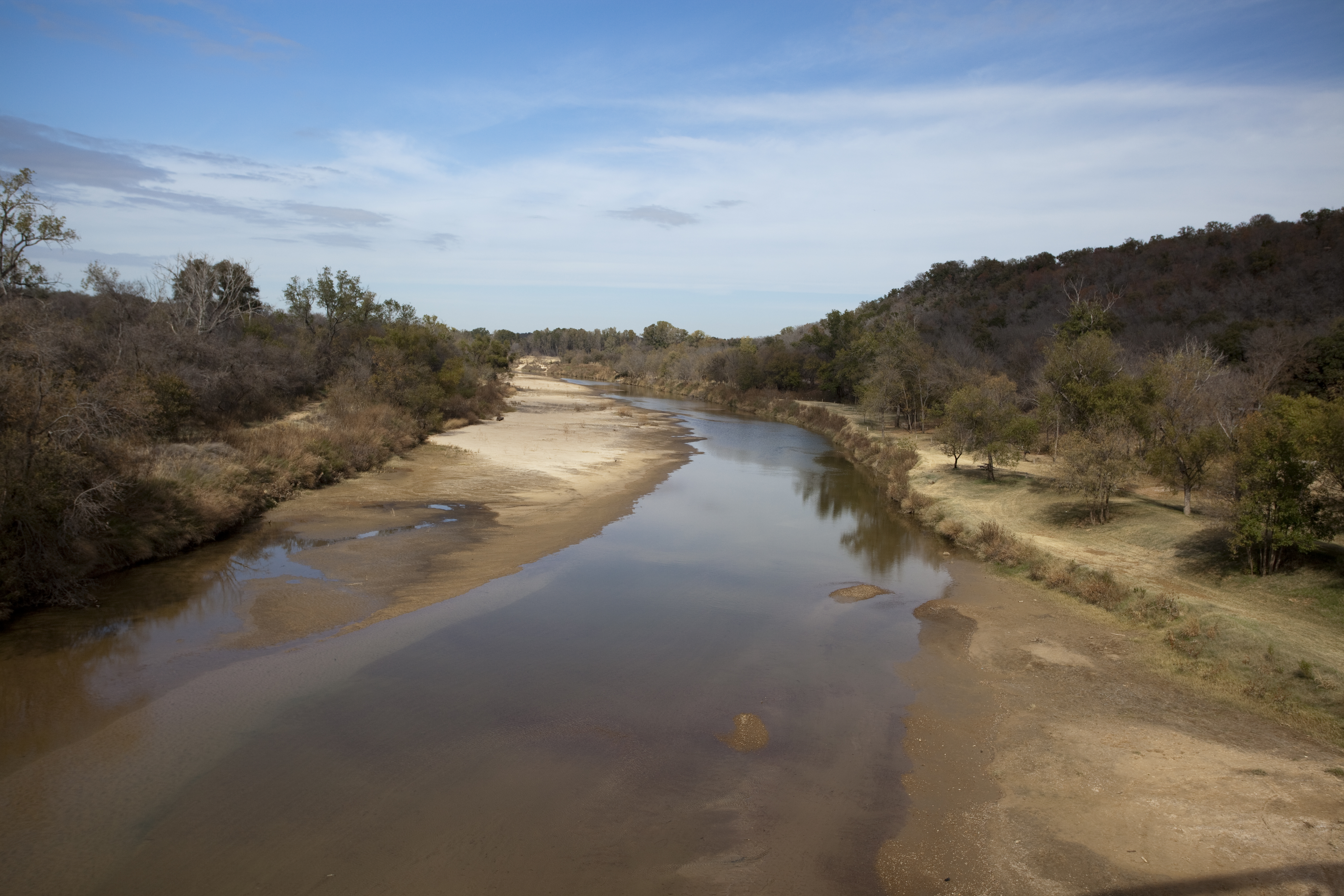
Salt Fork Brazos at FM1835 crossing, Stonewall County, Texas |
 |
Brazos near Brannon Bridge, an old steel truss bridge in North Central Texas |
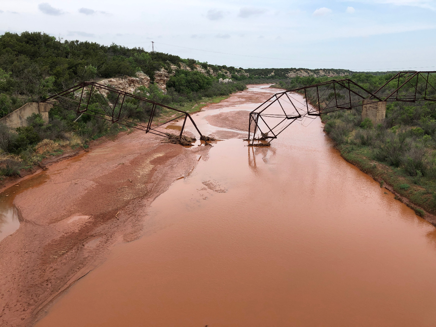 |
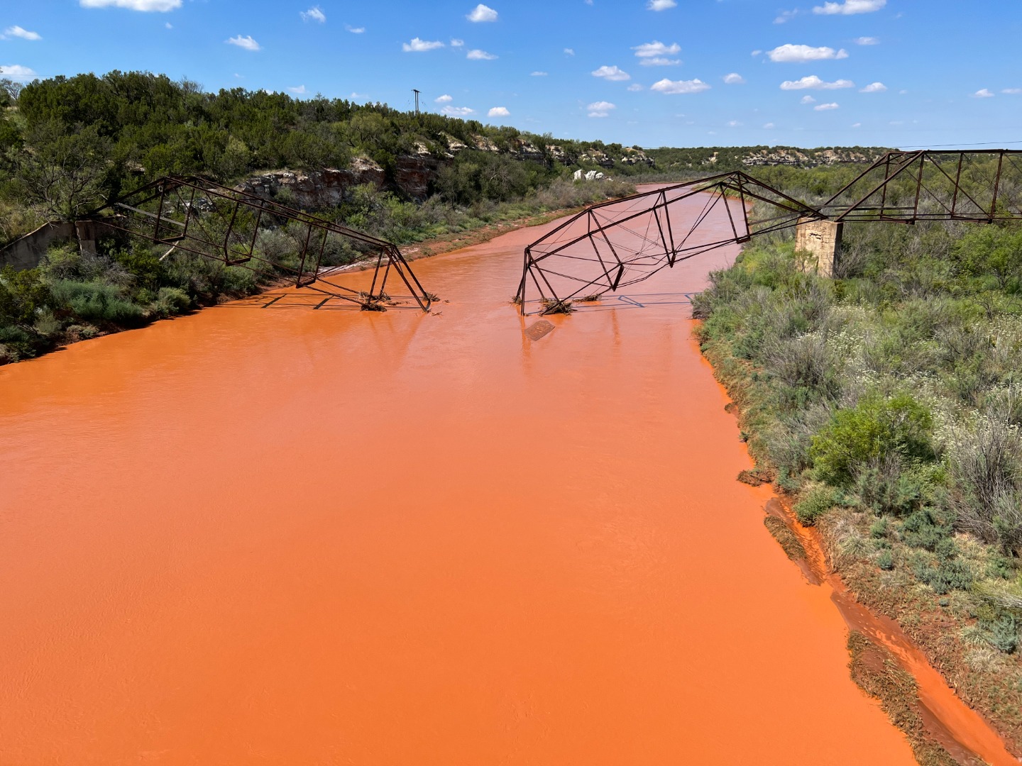
Collapsed truss bridge that once crossed the Salt Fork Brazos River |
 |
Upper Washita River in Hemphill County, Texas |
 |
Canadian Breaks, Potter County, Texas |
 |
Double Mountain Fork Brazos River at the FM 669 crossing, Garza County, Texas |
 |
Blanco Canyon in Crosby County, Texas |
 |
Double Mountain Fork Brazos River near Rule, Texas |
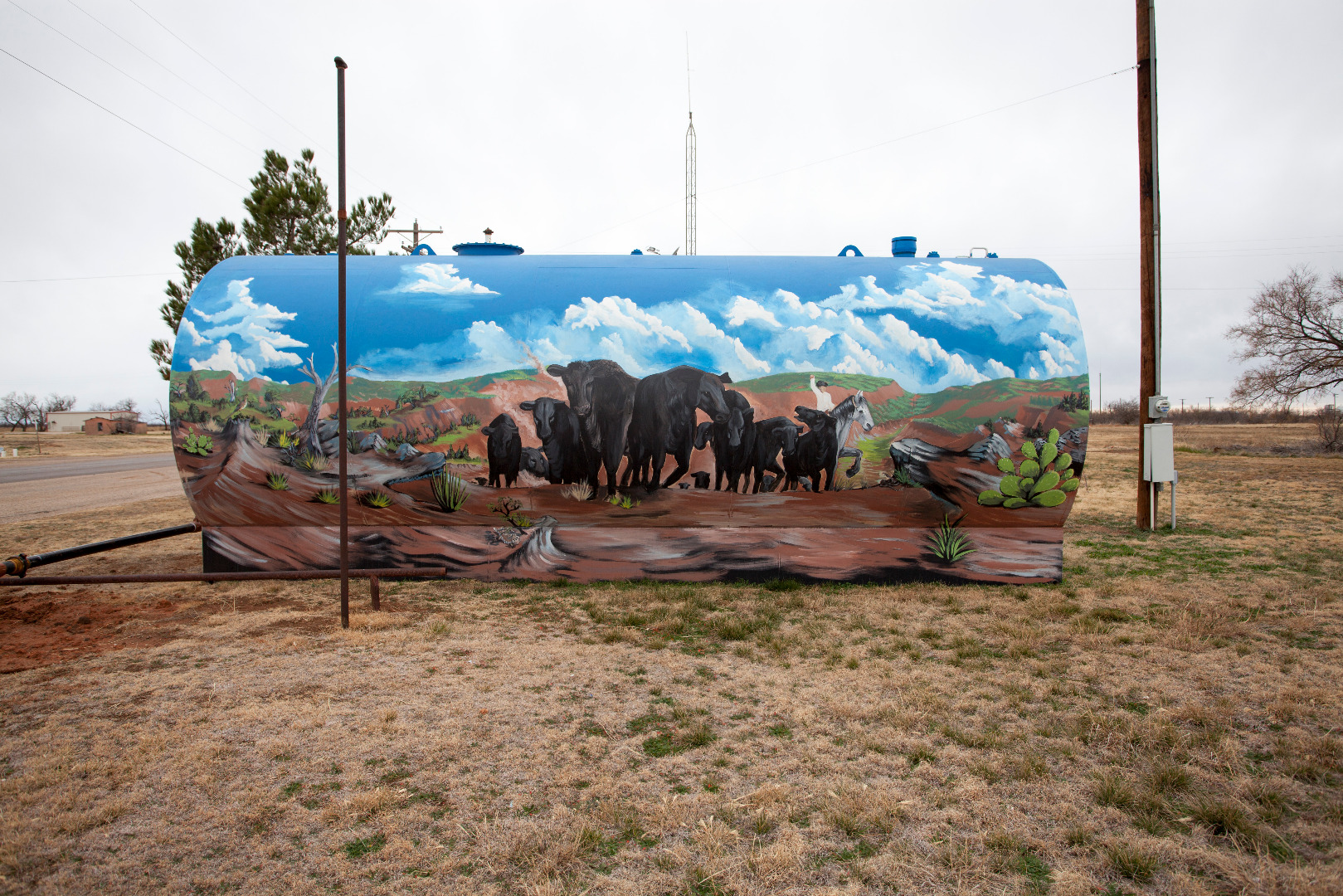 |
Mural on a tank in Truscott, Texas |
 |
Double Mountain Fork near its headwaters on the Macy Ranch (December 21, 2023) |
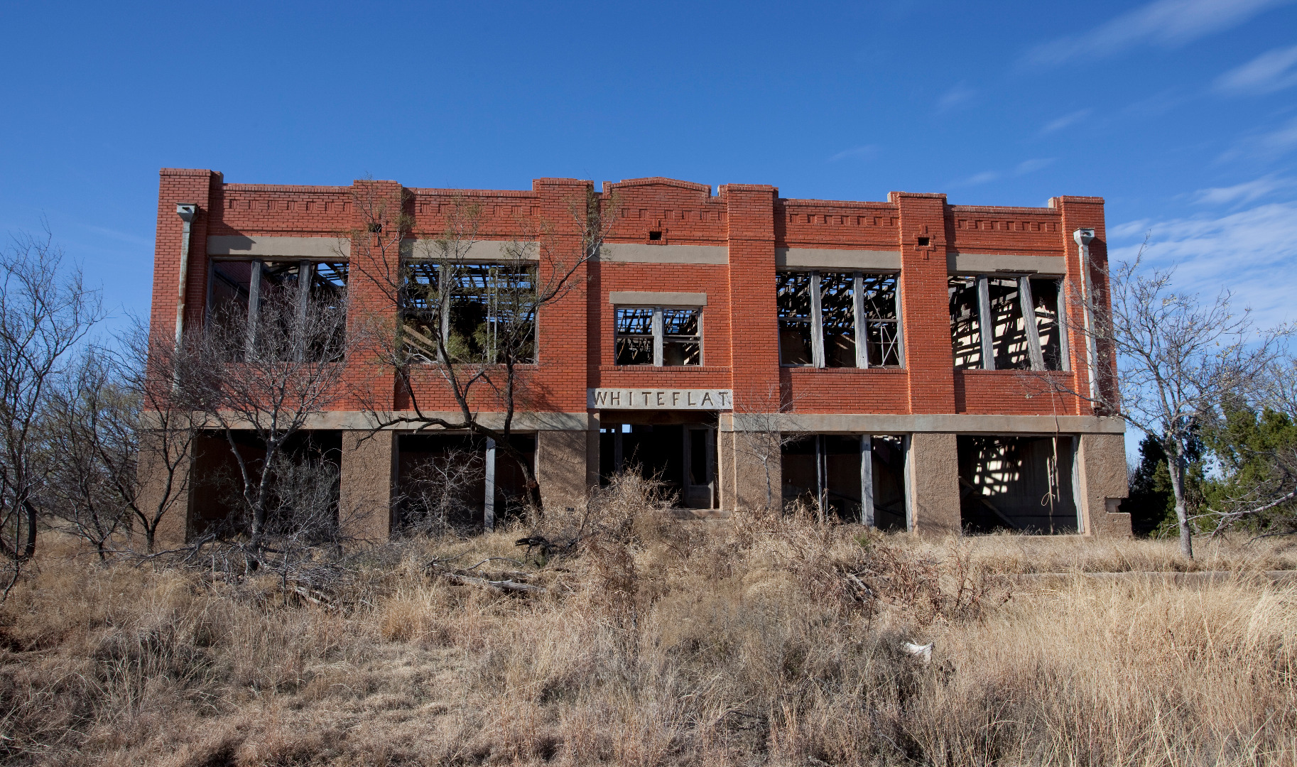 |
Abandoned school in the ghost town of Whiteflat, Texas |
 |
Salt Fork Brazos River at US 380 crossing |
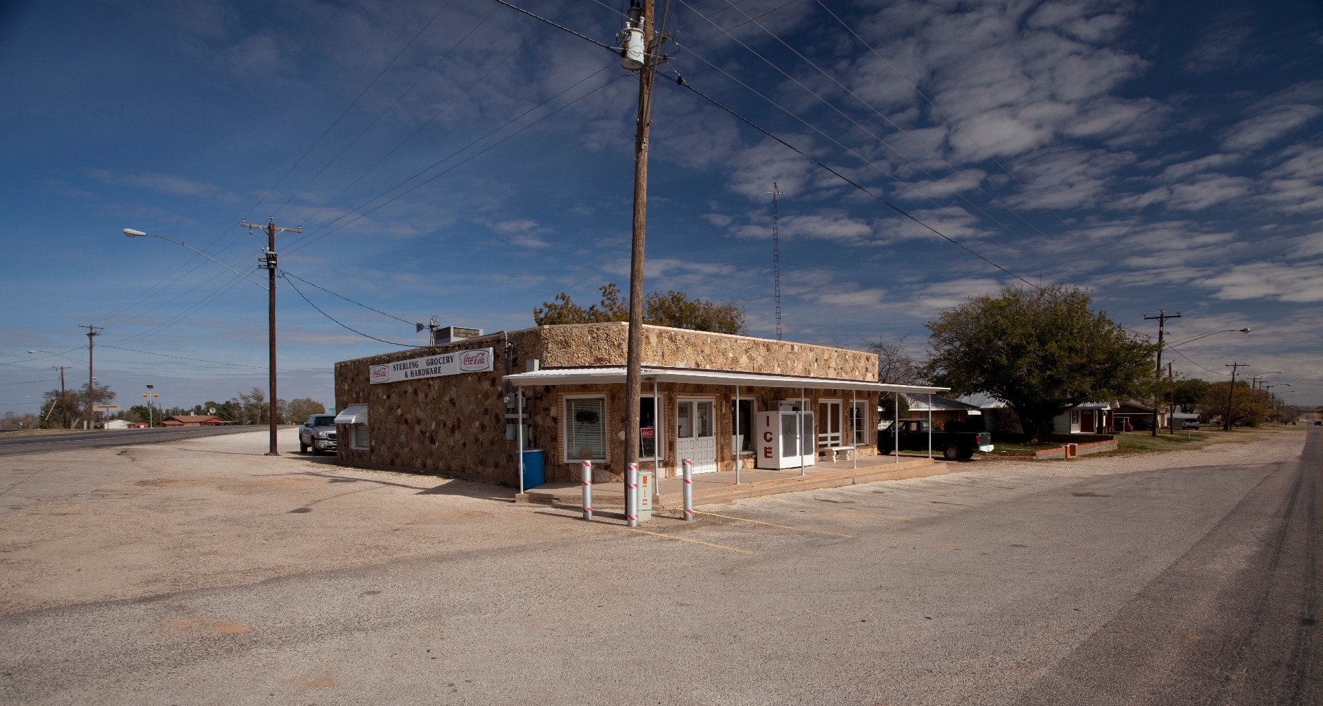 |
Sterling Grocery and Hardware in Ira, Texas |
 |
Little Red River at Texas State Highway 70 crossing |
 |
Quitaque Creek at Texas State Highway 70 in Motley County, Texas |
 |
Off the Caprock to the east of Crosbyton, Texas. |
 |
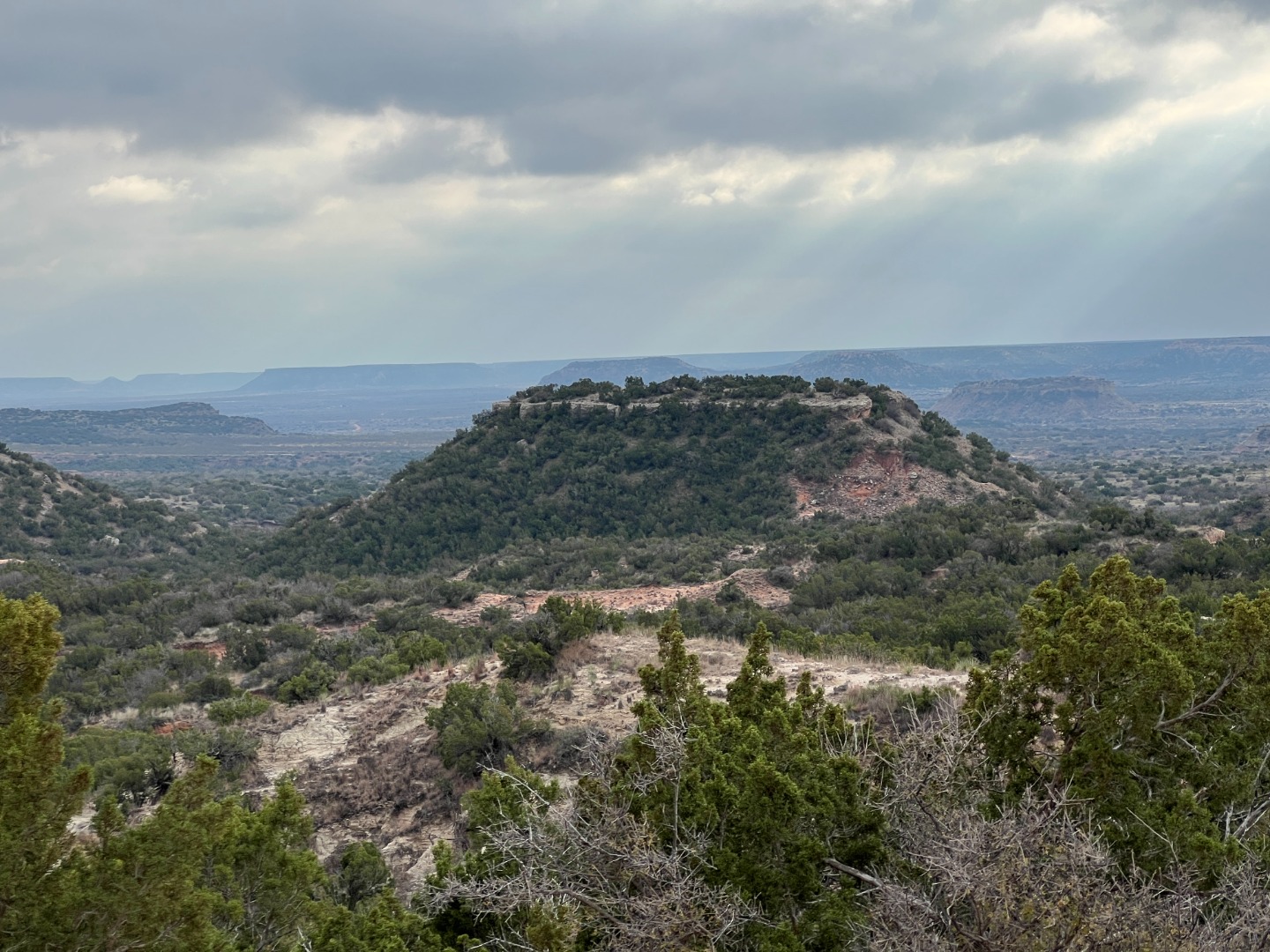
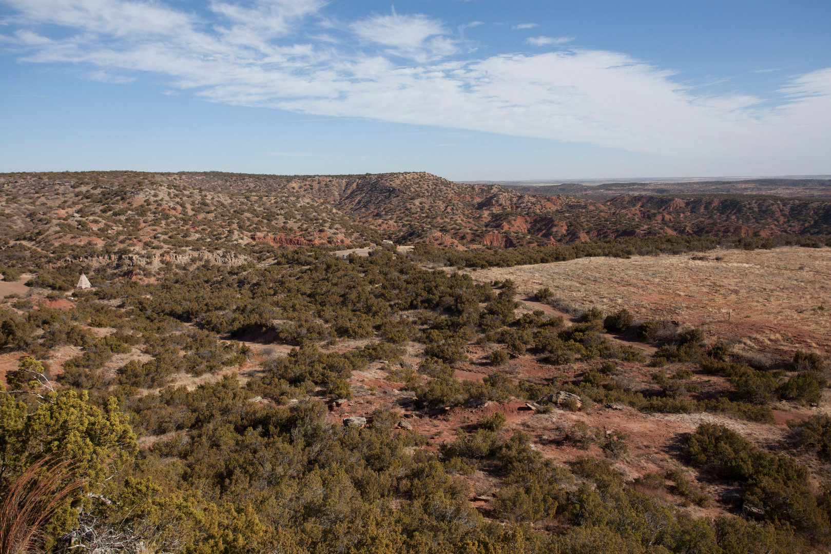
View from the Caprock Escarpment above Cowhead Mesa |
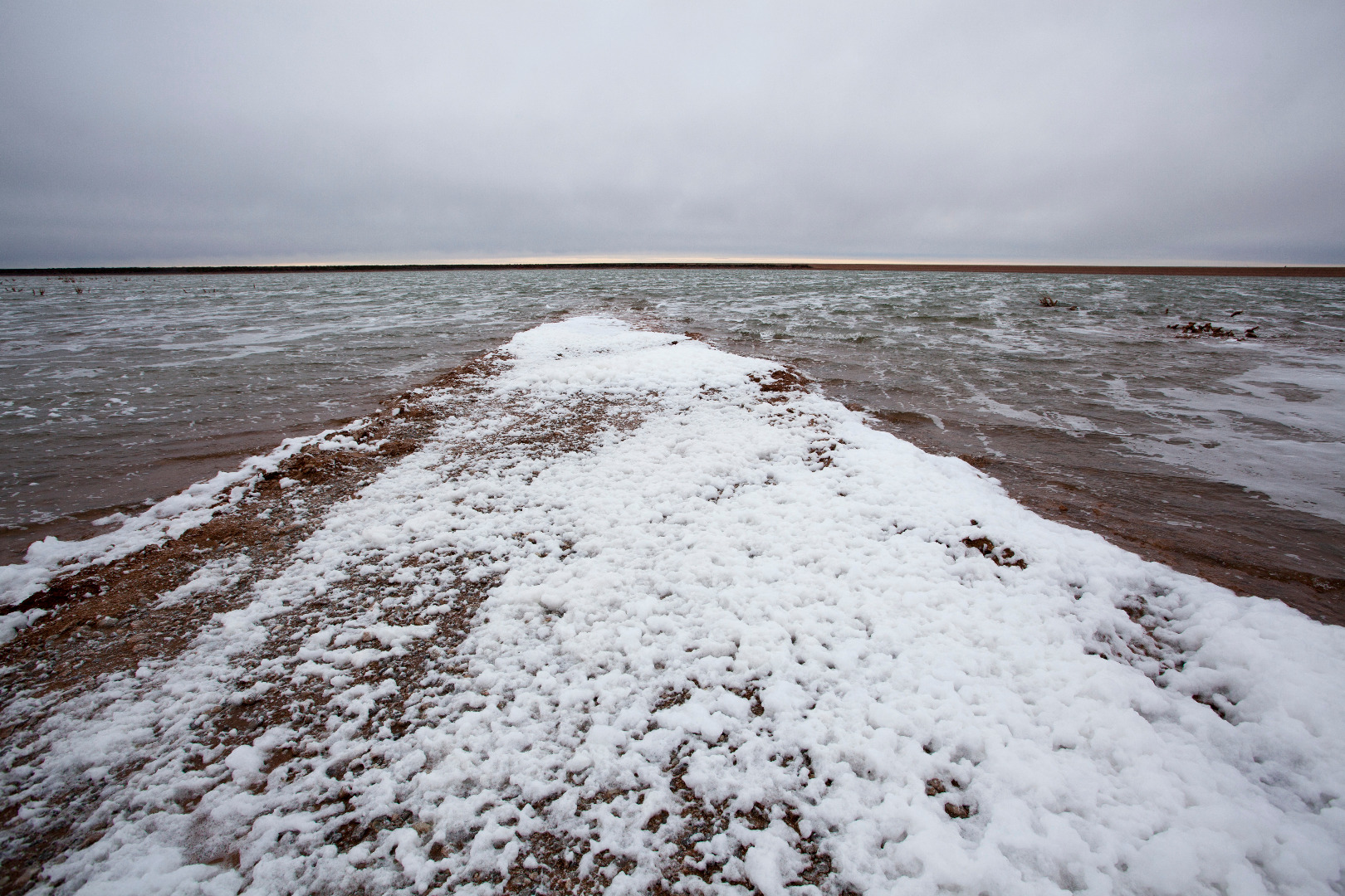 |
Salt foam covering the shore at Truscott Brine Lake, Knox County, Texas |
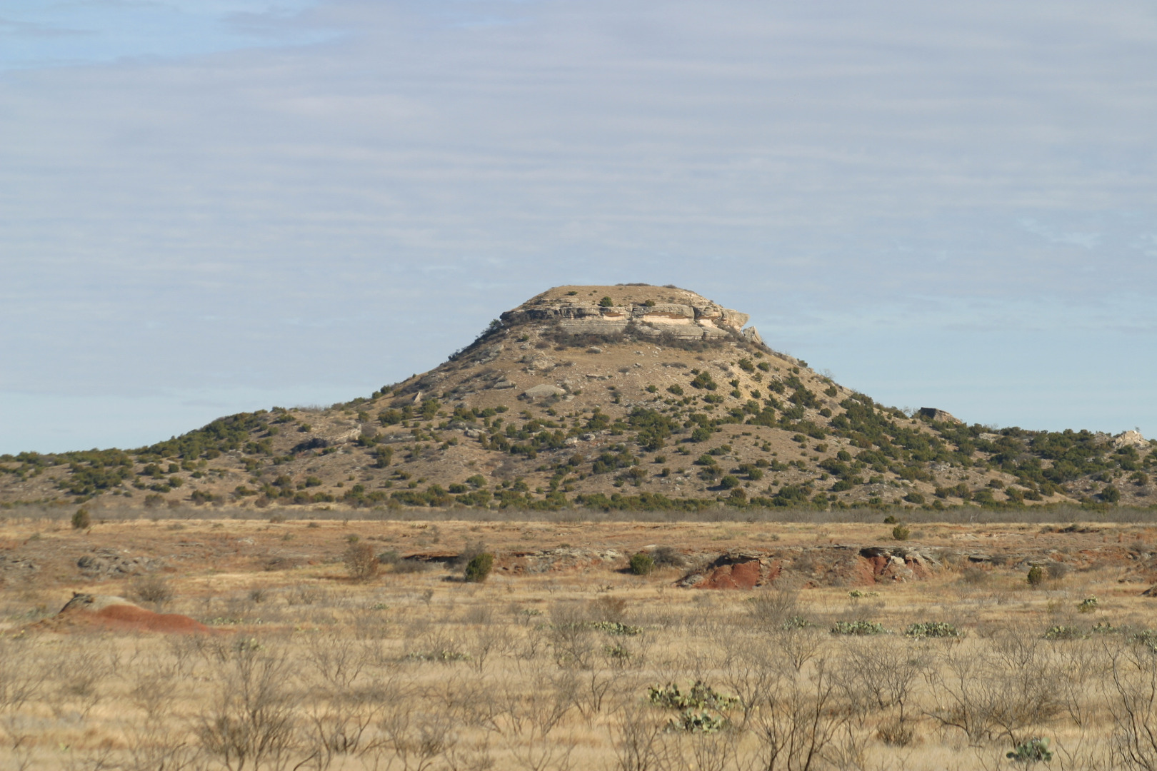 |
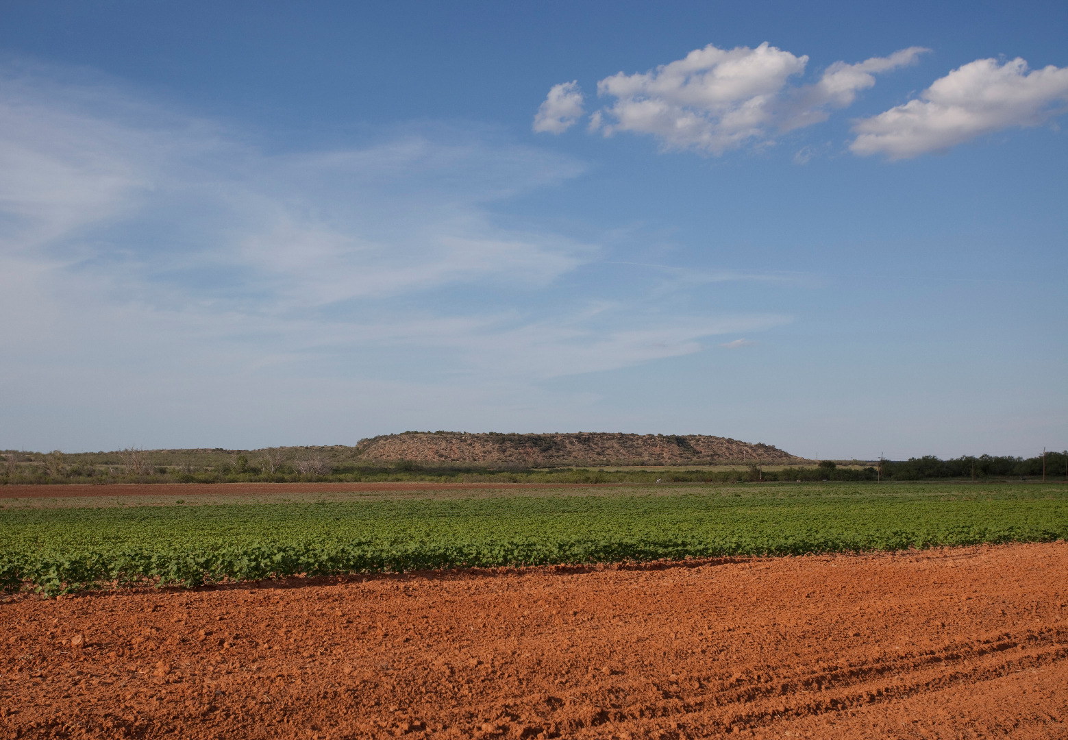
Mushaway Peak in Borden County, Texas |
 |
North Croton Creek, south of Guthrie, Texas |
 |
North Pease River in Cottle County, Texas |
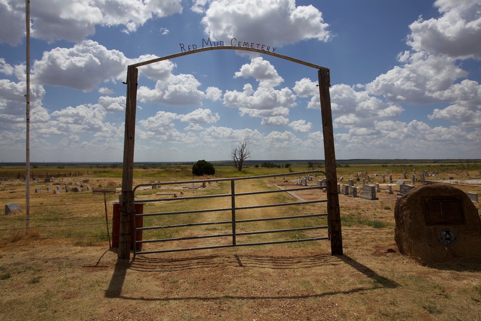 |
Cemetery in Red Mud, Texas |
 |
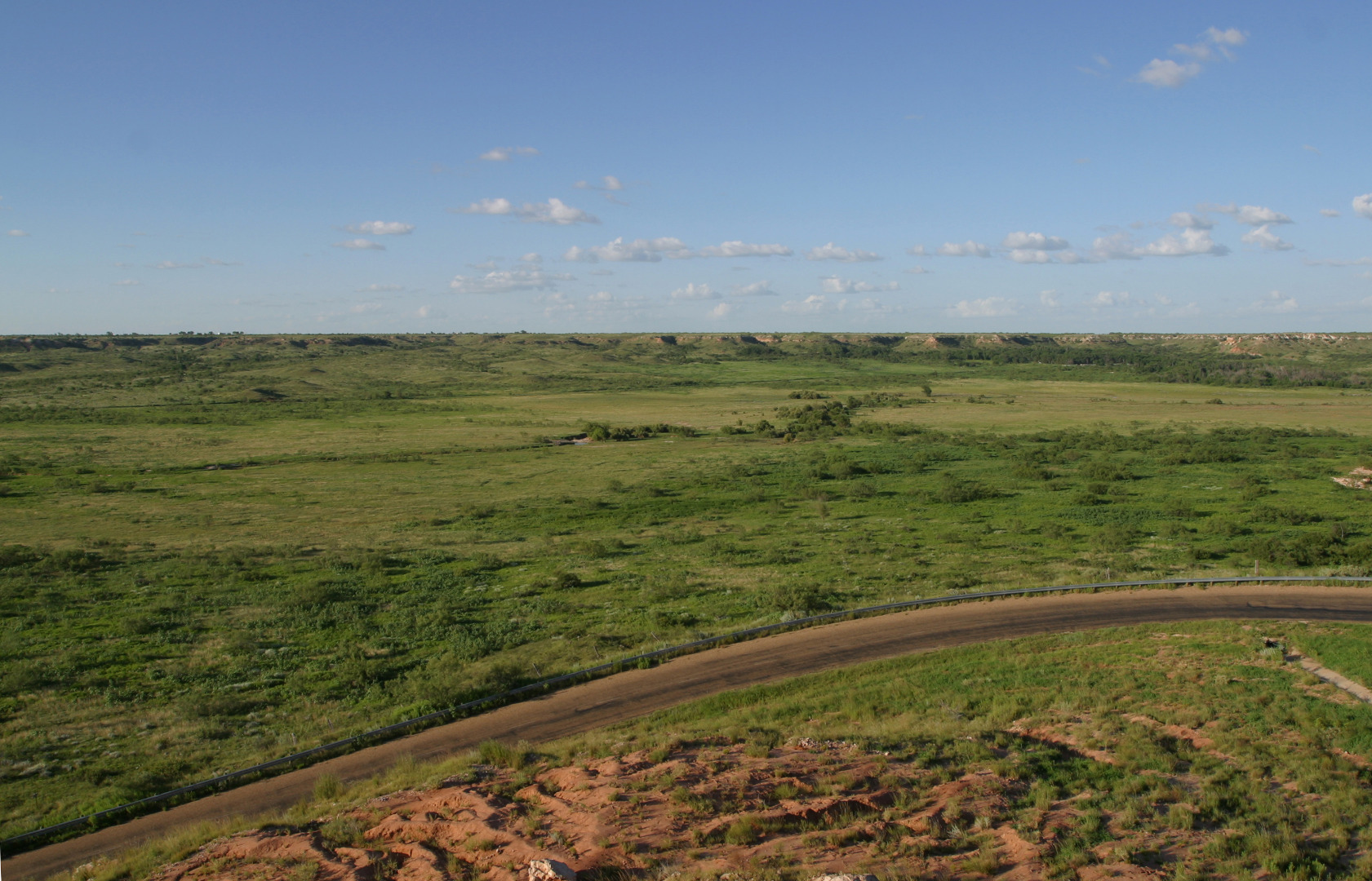
Rolling country north of Benjamin, Texas |
 |
South Wichita River north of Benjamin, Texas |
 |
Valley of Duck Creek, Kent County, Texas |
 |
Double Mountain Fork Brazos River on the U Lazy S Ranch |
 |
Middle Pease River at FM 94 crossing, Motley County, Texas |
 |
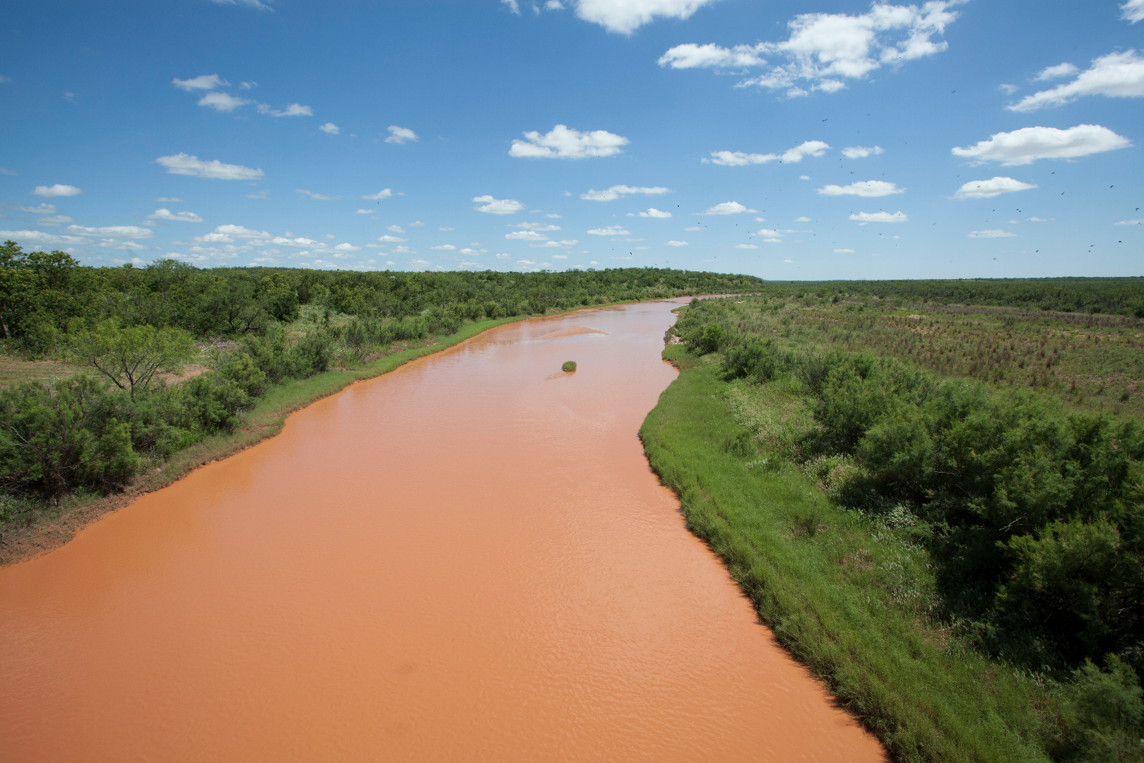
Salt Fork Brazos River near Jayton, Texas |
 |
Duffy's Peak, a small butte near the Salt Fork Brazos River in Garza County, Texas |
 |
Mount Blanco in Blanco Canyon, Crosby County, Texas |
 |
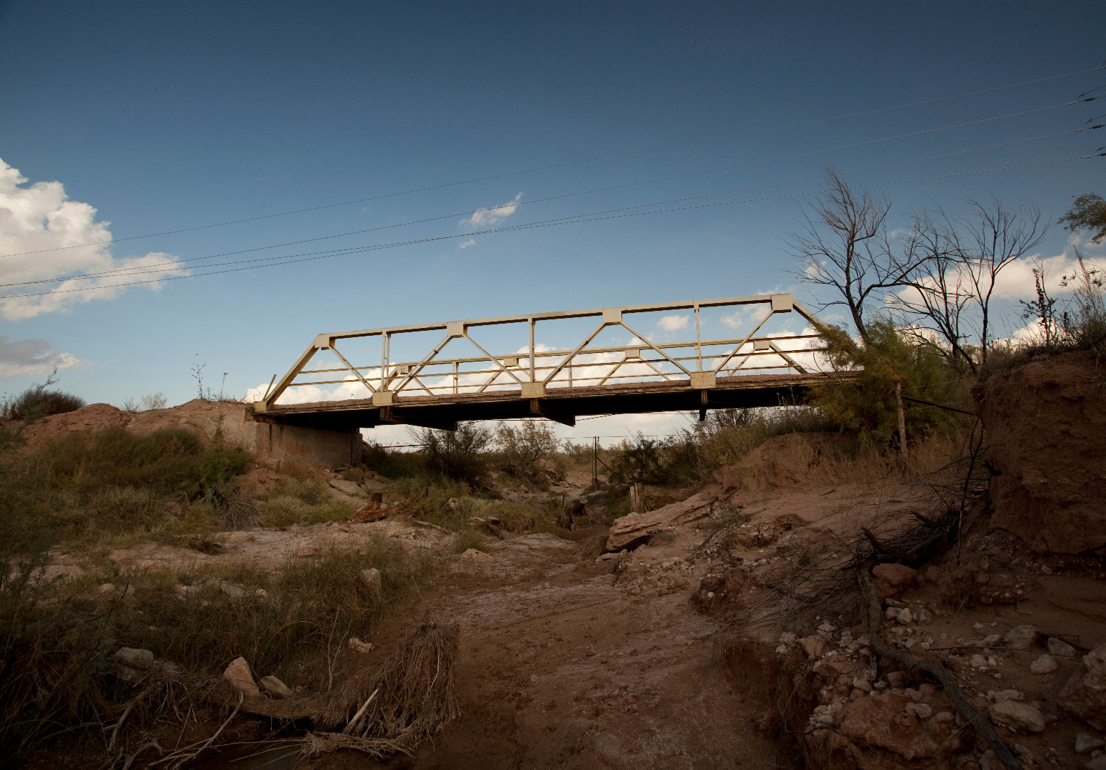
Truss bridge across Duck Creek west of Jayton, Texas |
 |
South Wichita east of Guthrie, Texas |
 |
Pony truss bridge at Canyon Valley, Texas |
 |
Middle Pease River at US62/83 crossing, Cottle County, Texas |
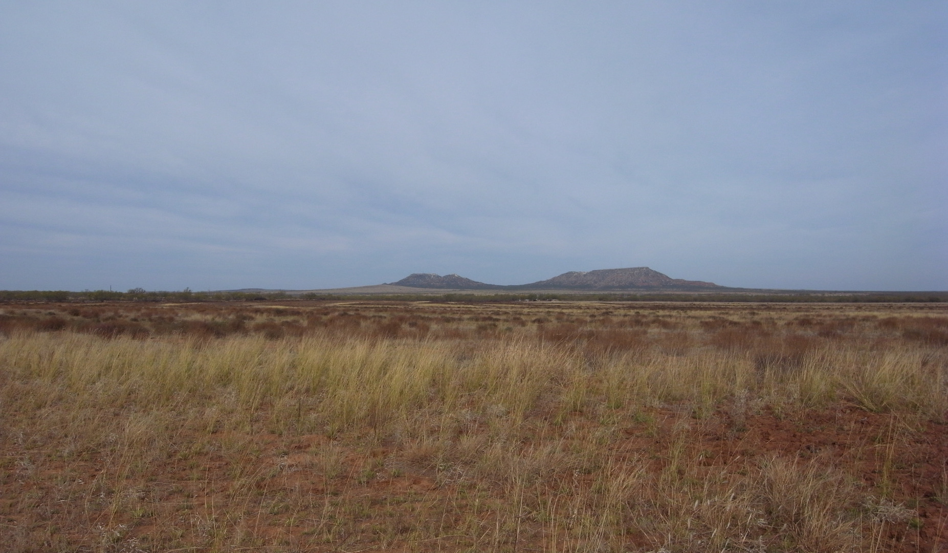 |
Double Mountains in Stonewall County, Texas |
Photos are public domain images provided by an employee of the USDA-Agricultural Research Service. If you use any of these photos in a publication, on a web site, or as part of any other project, please credit the USDA-Agricultural Research Service. These photos may not be used to infer or imply ARS endorsement of any product, company, or position.